Dirty in Two States
Prev
Next


|
Day 10: June 18, 2011 Dirty in Two States |
Prev Next |
|
|
|
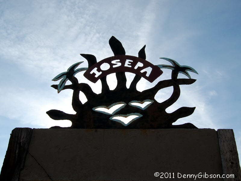
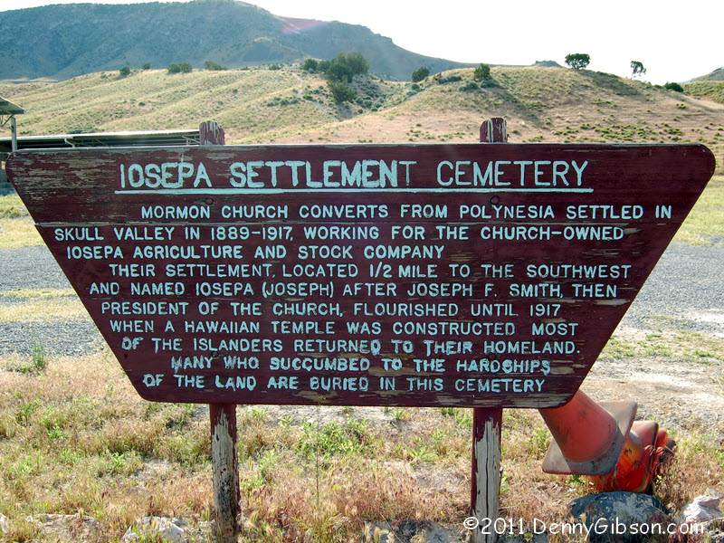
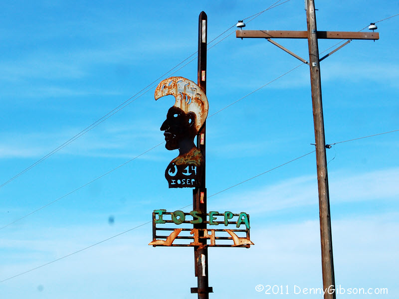 It was I-80 to start the day with an exit onto southbound UT 196, a.k.a.
Skull Valley Road. I snapped this picture of the road sign just because it
looked interesting though I thought the name sounded vaguely familiar.
When I saw a sign at the actual town, I pulled out Greetings from the
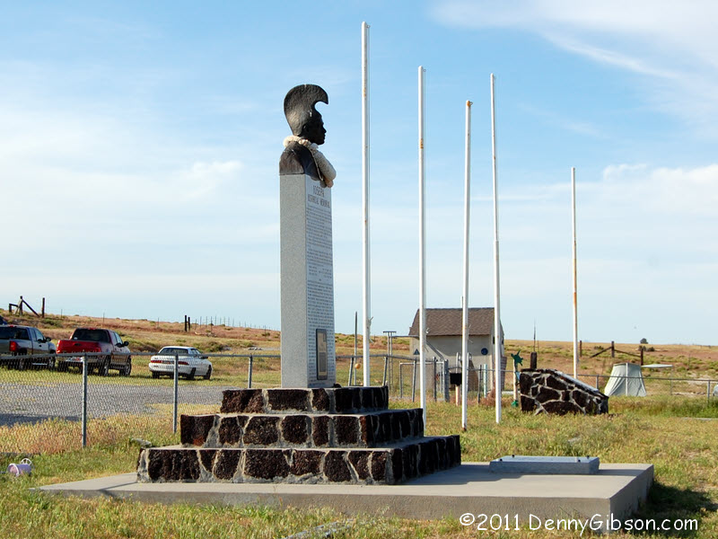
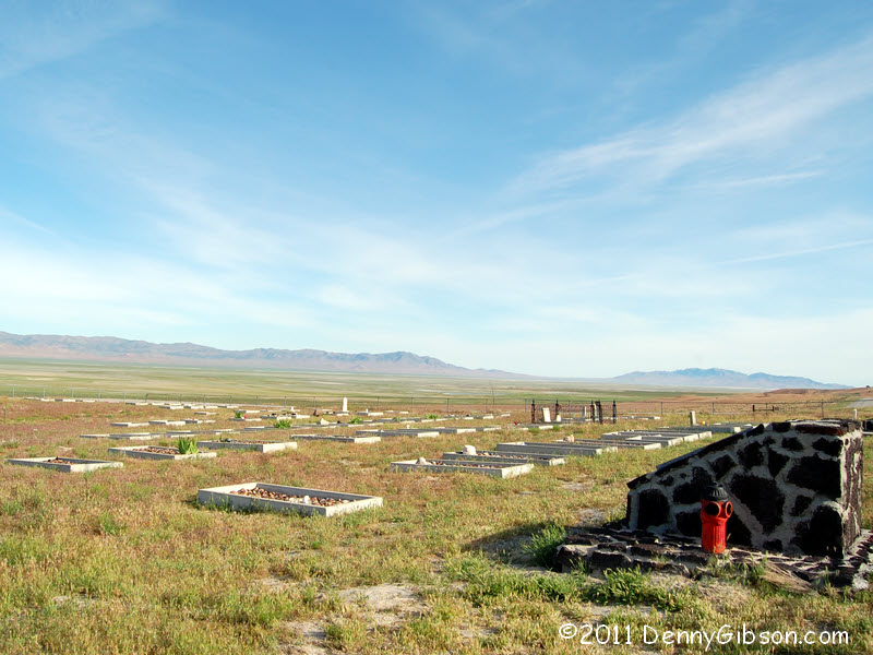
Lincoln Highway to refresh an almost non-existent memory. Iosepa was
an 1889 settlement of Mormons from Hawaii. A sign
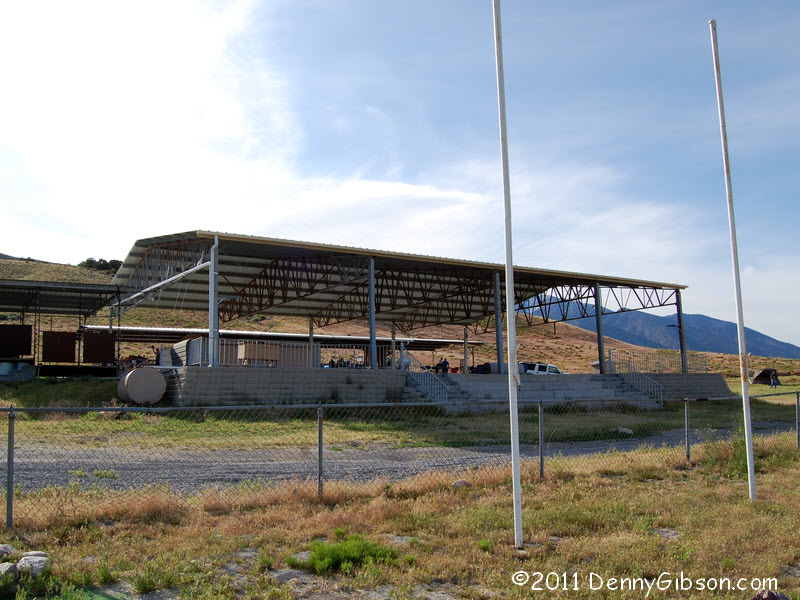
contains the short form of the story. Today, besides the cemetery, there
are restrooms and a good sized stage/shelter. In Greetings...,
Brian Butko reports that festivities take place here over Memorial Day
weekend but I was surprised to see quite a few cars and tents when I
pulled in. It was an outing by a local youth group, I learned from one of
the friendly leaders.
It was I-80 to start the day with an exit onto southbound UT 196, a.k.a.
Skull Valley Road. I snapped this picture of the road sign just because it
looked interesting though I thought the name sounded vaguely familiar.
When I saw a sign at the actual town, I pulled out Greetings from the
Lincoln Highway to refresh an almost non-existent memory. Iosepa was
an 1889 settlement of Mormons from Hawaii. A sign
contains the short form of the story. Today, besides the cemetery, there
are restrooms and a good sized stage/shelter. In Greetings...,
Brian Butko reports that festivities take place here over Memorial Day
weekend but I was surprised to see quite a few cars and tents when I
pulled in. It was an outing by a local youth group, I learned from one of
the friendly leaders.
|
|
|
 After another sixteen or so miles on pavement, it was time to jog over to
an older Skull Valley Road and an older Lincoln Highway. The unpaved
surface of this jog would be the rule and not the exception of today's
travels.
After another sixteen or so miles on pavement, it was time to jog over to
an older Skull Valley Road and an older Lincoln Highway. The unpaved
surface of this jog would be the rule and not the exception of today's
travels.
|
|
|
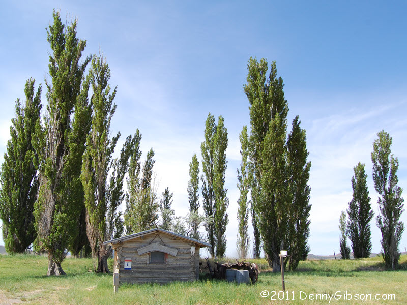
 The jog led to Orr's Ranch where early Lincoln Highway travelers could be
sheltered and fed by Mary Ann Orr and her sons. I think it might have been
OK to knock on the door here and ask to see inside the cabin but I wasn't
quite sure of that. I saw no activity at the main house so decided to
leave its door unknocked.
The jog led to Orr's Ranch where early Lincoln Highway travelers could be
sheltered and fed by Mary Ann Orr and her sons. I think it might have been
OK to knock on the door here and ask to see inside the cabin but I wasn't
quite sure of that. I saw no activity at the main house so decided to
leave its door unknocked.
|
|
|
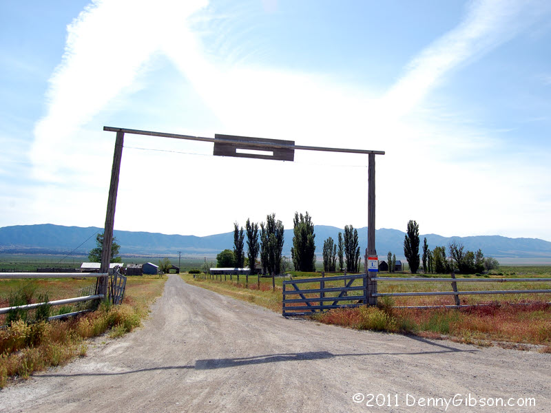
 Last Saturday, Pat Bremer asked if I was having "Corvette
Withdrawal". "A little", I told him. "Sometimes."
Others have asked sinilar questions and the related "How you like the
Subaru?" I've answered that one by saying that, so far, the Subaru is
just a car. Just transportation. And that's all it's going to be until I'm
in the car on some road where the Corvette could not take me. Beyond the
Orr Ranch, the road becomes rutted dirt. I think today might be that day.
Last Saturday, Pat Bremer asked if I was having "Corvette
Withdrawal". "A little", I told him. "Sometimes."
Others have asked sinilar questions and the related "How you like the
Subaru?" I've answered that one by saying that, so far, the Subaru is
just a car. Just transportation. And that's all it's going to be until I'm
in the car on some road where the Corvette could not take me. Beyond the
Orr Ranch, the road becomes rutted dirt. I think today might be that day.
|
|
|
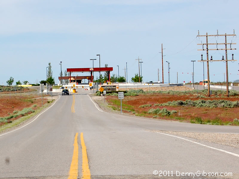
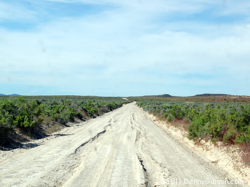
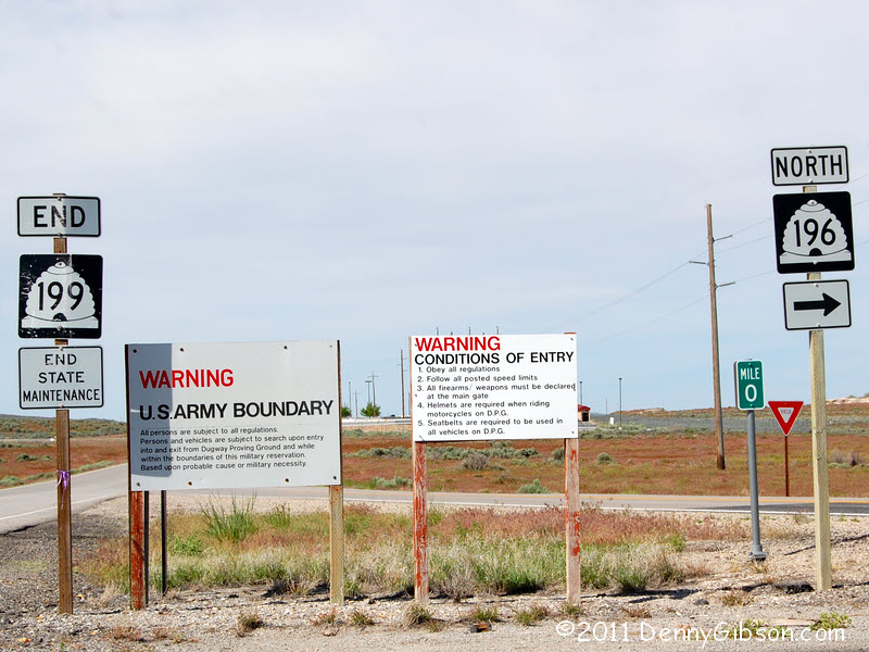 Maybe five miles south of Orr's, the old Lincoln Highway disappears into
the infamous Dugway Proving Ground; Infamous for the secret testing
performed there and infamous for making a big chunk of the old alignment
inaccessible. Getting around that chunk involves a long "detour"
around the proving ground. Most of that is on something called the Pony
Express Road. All of it is unpaved.
Maybe five miles south of Orr's, the old Lincoln Highway disappears into
the infamous Dugway Proving Ground; Infamous for the secret testing
performed there and infamous for making a big chunk of the old alignment
inaccessible. Getting around that chunk involves a long "detour"
around the proving ground. Most of that is on something called the Pony
Express Road. All of it is unpaved.
|
|
|


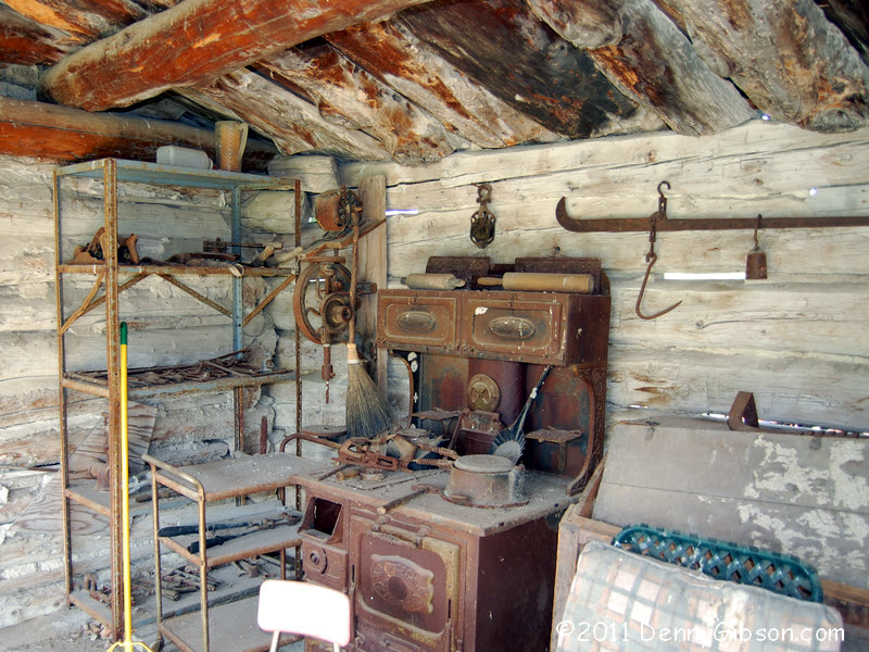
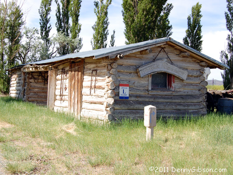
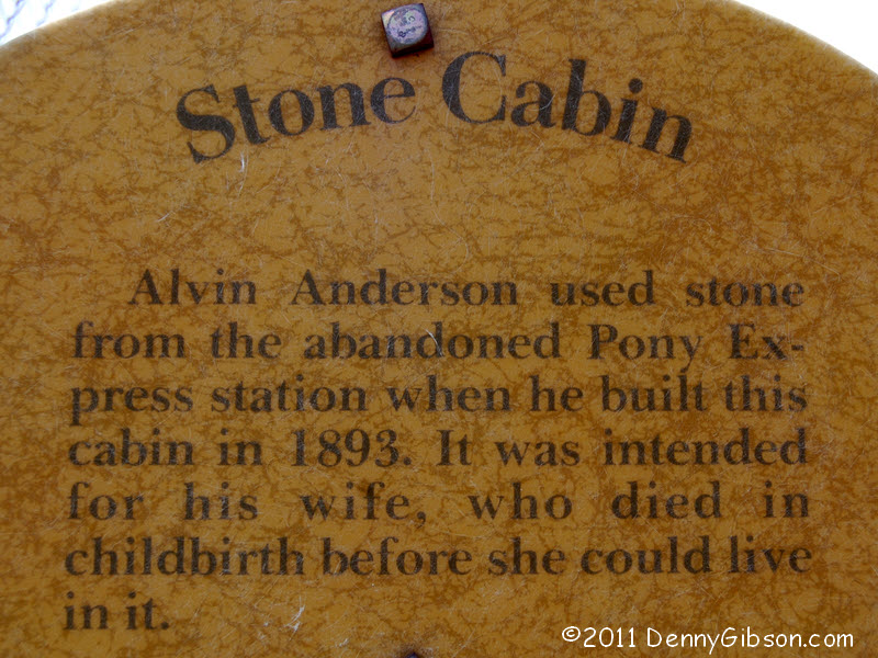
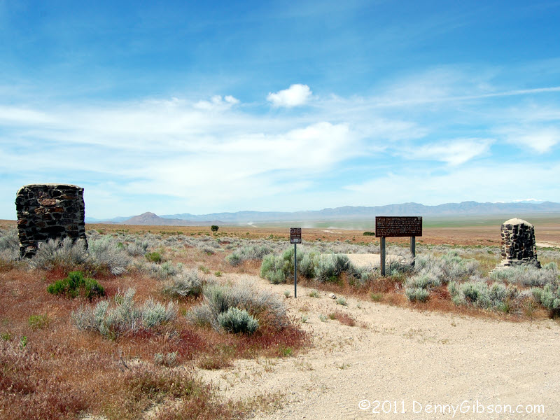 Tall stone monuments mark Pony Express Station sites along the road. At
Simpson Springs there is also a reproduction of the station itself. The
actual station was recycled into a cabin, whose
remnants still stand, in 1893.
Tall stone monuments mark Pony Express Station sites along the road. At
Simpson Springs there is also a reproduction of the station itself. The
actual station was recycled into a cabin, whose
remnants still stand, in 1893.
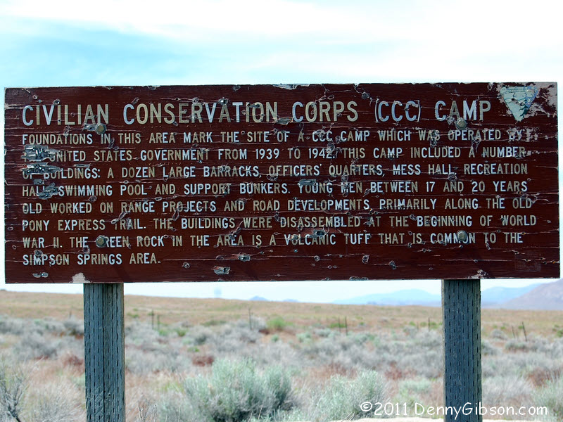
There is an adjacent camping area and some stone work can be seen from the station. I checked it out as I moved on. It seems the stonework is from a 1939 CCC camp. |
|
|
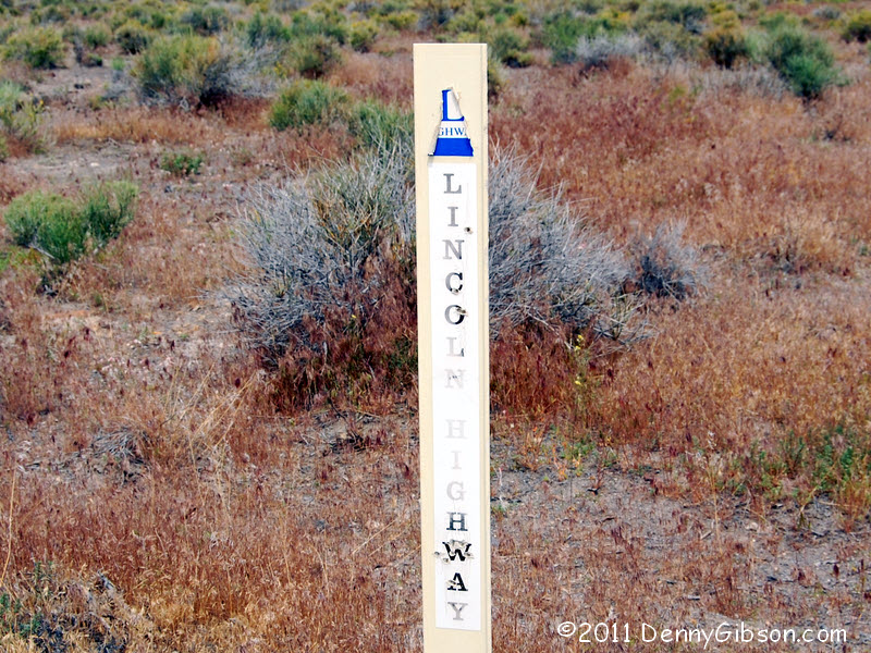
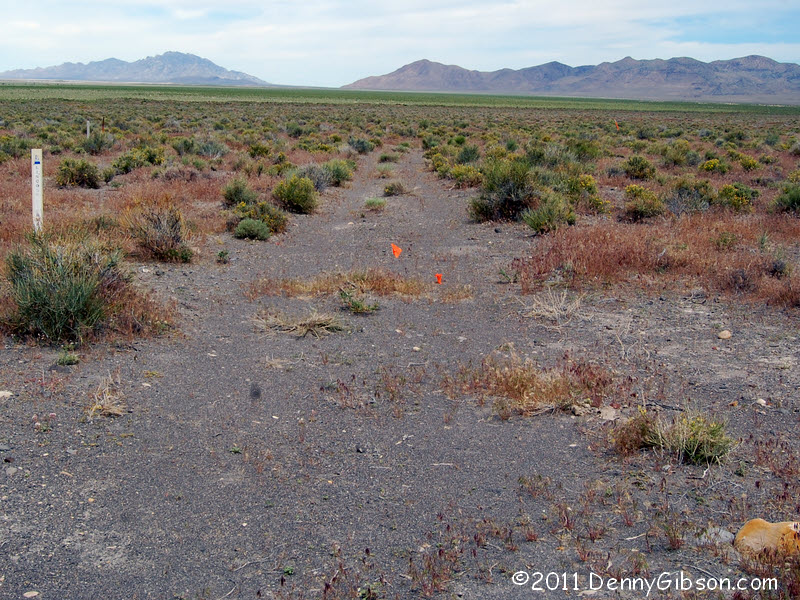 This and the next panel are presented in correct geographical order but in
reverse chronological order. The reason is that I didn't find the Lincoln
Highway tracks until after I'd reached the monument and could follow Brian
Butko's clues backwards. He starts with Navy Road but that road, like most
out here, isn't marked. However, coming east from the monument just a bit
over the tenth mile Brian indicates turned them up. The tracks lead to the
western end of that chunk of LH locked up inside the proving grounds.
This and the next panel are presented in correct geographical order but in
reverse chronological order. The reason is that I didn't find the Lincoln
Highway tracks until after I'd reached the monument and could follow Brian
Butko's clues backwards. He starts with Navy Road but that road, like most
out here, isn't marked. However, coming east from the monument just a bit
over the tenth mile Brian indicates turned them up. The tracks lead to the
western end of that chunk of LH locked up inside the proving grounds.
|
|
|
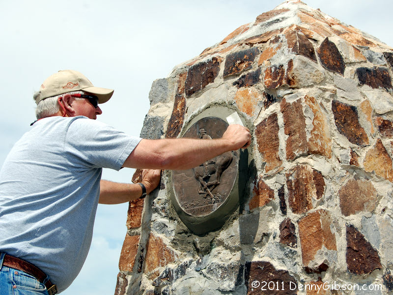

 At the site of the Black Rock Pony Express Station, I not only had a new
anchor for finding the Lincoln Highway tracks but I got to watch Pat and
Dean put the finishing touches on a replacement medallion on the marker.
Dean thinks the medallions are pried out because they look like bronze but
they're not and are usually broken by the prying.
At the site of the Black Rock Pony Express Station, I not only had a new
anchor for finding the Lincoln Highway tracks but I got to watch Pat and
Dean put the finishing touches on a replacement medallion on the marker.
Dean thinks the medallions are pried out because they look like bronze but
they're not and are usually broken by the prying.
|
|
|
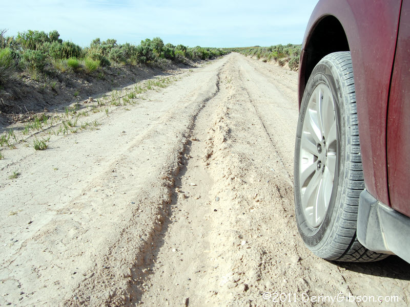
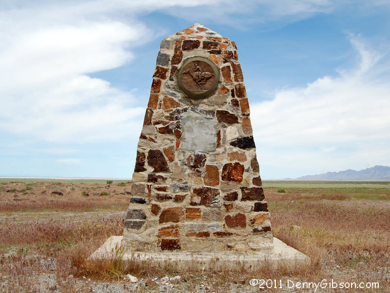
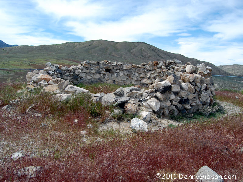 There are other Pony Express Monuments along the way and even remnants of
a few stations. This is what's left of the Overland Canyon Station. It's
on something of a rise which allows a view of the road ahead and there's
plenty more where that goes to. There's also plenty more where it came
from. I've not posted many pictures of gravel roads disappearing into the
distance or around a curve but I can assure you I've got 'em.
There are other Pony Express Monuments along the way and even remnants of
a few stations. This is what's left of the Overland Canyon Station. It's
on something of a rise which allows a view of the road ahead and there's
plenty more where that goes to. There's also plenty more where it came
from. I've not posted many pictures of gravel roads disappearing into the
distance or around a curve but I can assure you I've got 'em.
|
|
|
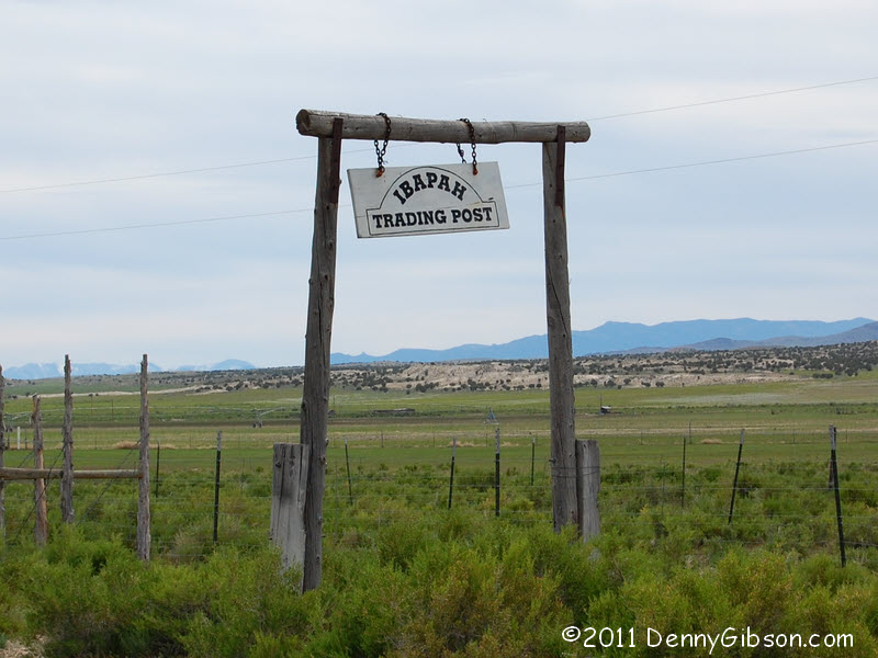
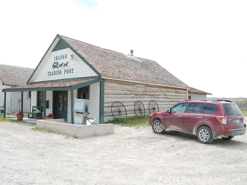

 At Ibapah I got to drive on asphalt for a few miles and pick up some
beverages and snacks. I first feared the place was closed but a young
fellow came from the nearby house as I walked around taking pictures. He
opened the door, which wasn't really locked, and I grabbed some water, a
Pepsi, and some nuts. He started to ring it up on the old register but
something wasn't right. He started adding things up in his head and I
think he'd have done it correctly, too, but, after the second item, he
stopped, pulled out his iPhone and quickly tallied my purchase. Ibapah
keeps its technology in its pockets.
At Ibapah I got to drive on asphalt for a few miles and pick up some
beverages and snacks. I first feared the place was closed but a young
fellow came from the nearby house as I walked around taking pictures. He
opened the door, which wasn't really locked, and I grabbed some water, a
Pepsi, and some nuts. He started to ring it up on the old register but
something wasn't right. He started adding things up in his head and I
think he'd have done it correctly, too, but, after the second item, he
stopped, pulled out his iPhone and quickly tallied my purchase. Ibapah
keeps its technology in its pockets.
In what I assume is Ibapah proper, there is a nice monument that includes a panel on the Lincoln Highway. |
|
|

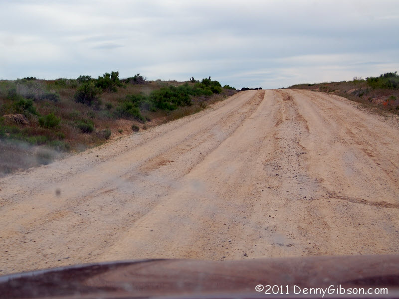
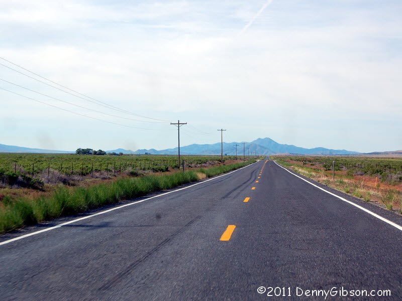
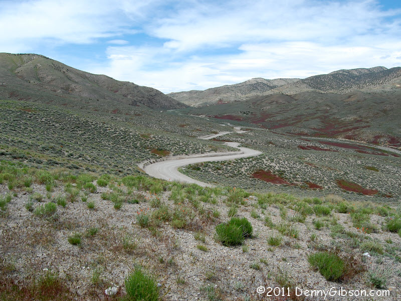
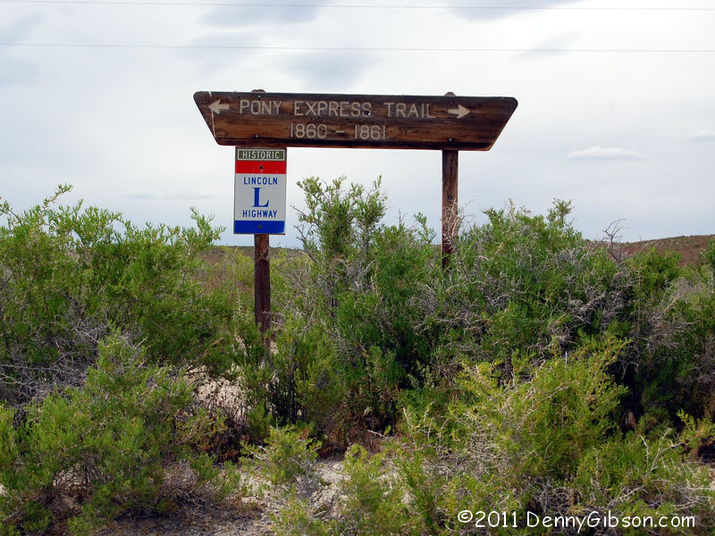 The asphalt ride was short, less than four miles, then I was back on dirt.
My GPS says the state line is right where this Pony Express/Lincoln
Highway marker stands though no other marker is present and the dirt looks
the same on both sides. But it may not be. Maybe the dirt isn't actually
different but the roads certainly are. As I progressed into Nevada, the
road got narrower and the ruts got deeper. I have no pictures of the
really rutted sections because I could not spare a hand for the camera.
Some of those sections were actually kind of scary.
The asphalt ride was short, less than four miles, then I was back on dirt.
My GPS says the state line is right where this Pony Express/Lincoln
Highway marker stands though no other marker is present and the dirt looks
the same on both sides. But it may not be. Maybe the dirt isn't actually
different but the roads certainly are. As I progressed into Nevada, the
road got narrower and the ruts got deeper. I have no pictures of the
really rutted sections because I could not spare a hand for the camera.
Some of those sections were actually kind of scary.
I'd driven a little over 110 miles of dirt in Utah and would end up with another 60 some in Nevada. I'd started with about 7/8 of a tank of gas and the warning light, which seems to indicate about 1/8 tank or two gallons, came on within a couple miles of reaching US 93. This is not a drive to be taken lightly. |
|
|
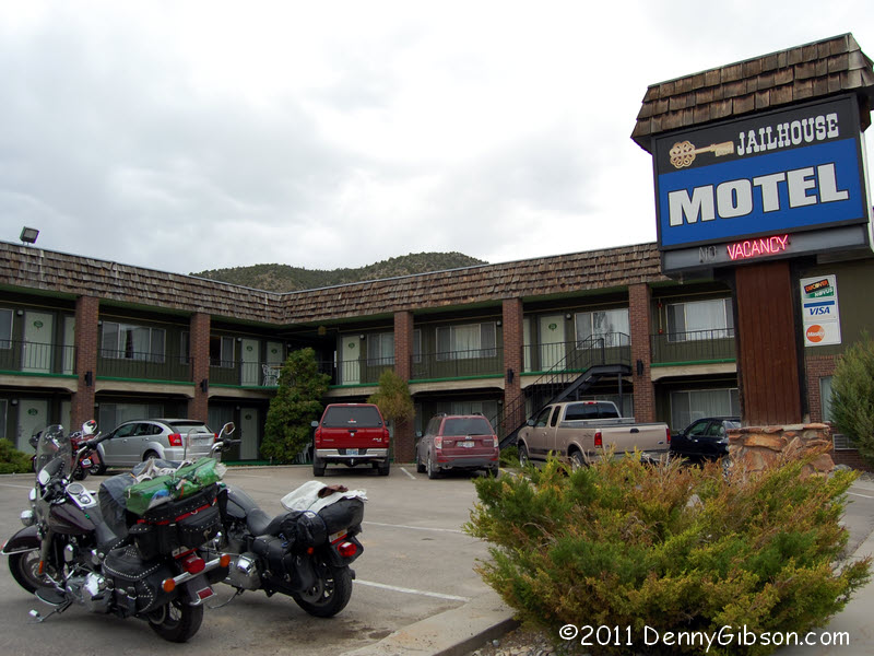
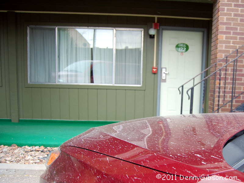
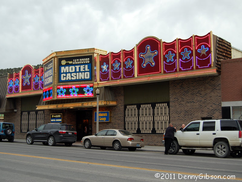
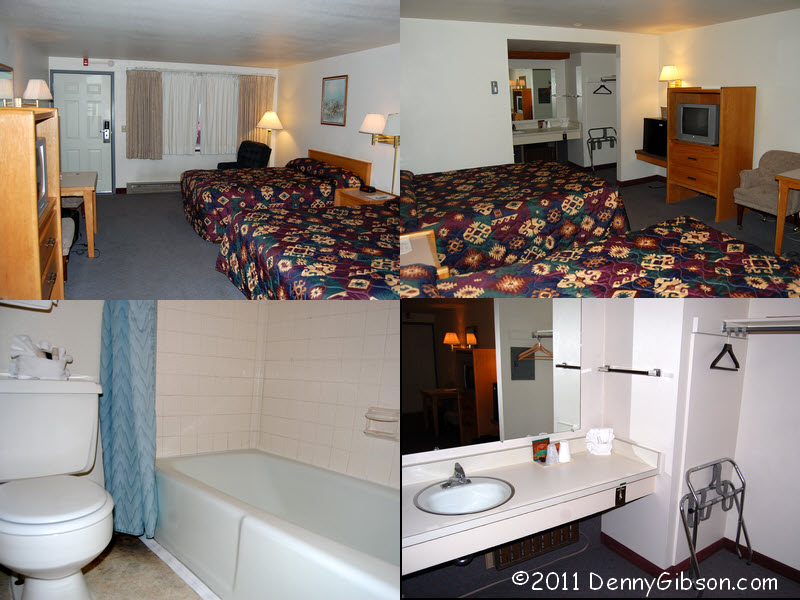
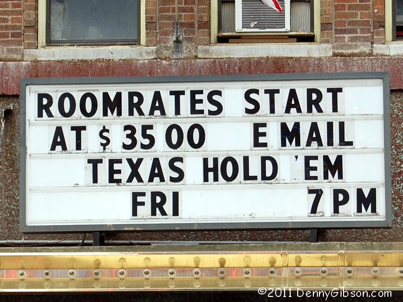
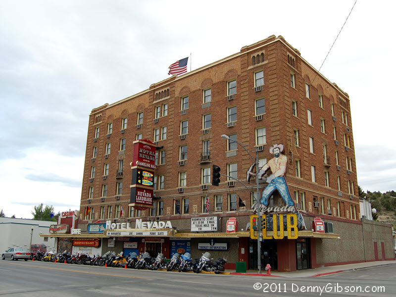 On my last visit, I stayed at the historic
Hotel Nevada and
enjoyed it. This time I decided to share the wealth and stay at the
competitor across the street. That is my room, er... cell door but there's
some dirty hood standing between me and it. The Jailhouse Motel is, of
course, connected with the Jailhouse Casino. Here's the inside of
my cell. The last picture is of that place across
the street. Did anyone else think that said
roommates?
On my last visit, I stayed at the historic
Hotel Nevada and
enjoyed it. This time I decided to share the wealth and stay at the
competitor across the street. That is my room, er... cell door but there's
some dirty hood standing between me and it. The Jailhouse Motel is, of
course, connected with the Jailhouse Casino. Here's the inside of
my cell. The last picture is of that place across
the street. Did anyone else think that said
roommates?
|
|
|
| [Prev] [Site Home] [Trip Home] [Contact] [Next] |