Graves on a Gray Day
Comment via blog
Prev
Next


|
Day 7: December 27, 2023 Graves on a Gray Day Comment via blog |
Prev Next |
|
|
|
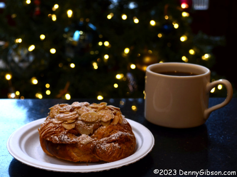
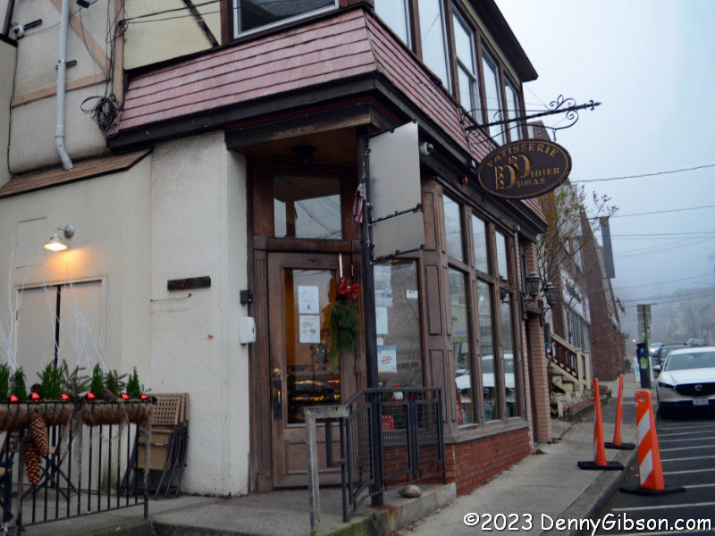
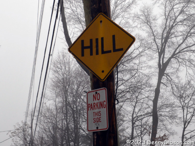
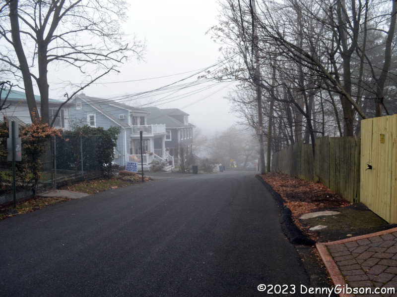 Cris pointed out a bakery last night that seemed within walking distance
of the hotel but as we continued to climb up hill, I decided it wasn't
walkable after all and said so. Then, when I punched it into my phone this
morning, I saw how close it was and decided to walk after all. It really
was all downhill including the stretch in the photo which was actually
labeled. I think I put more effort into picking
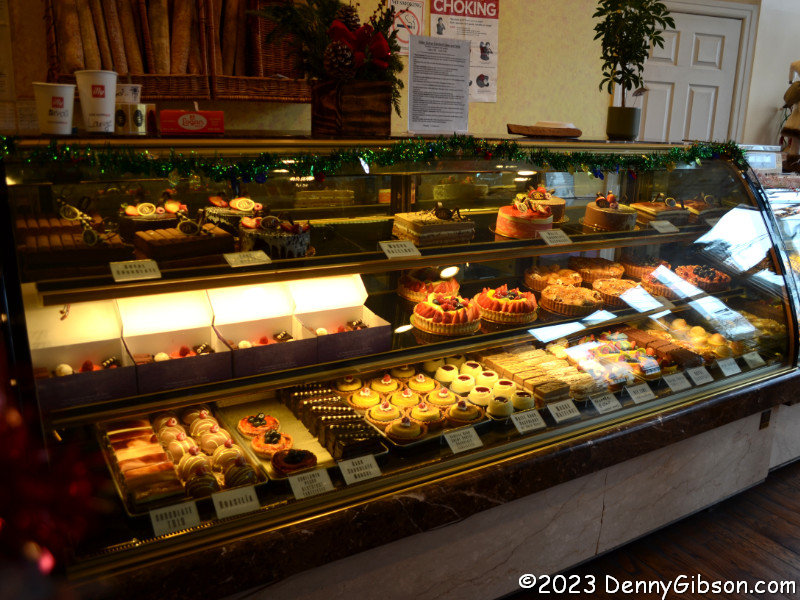
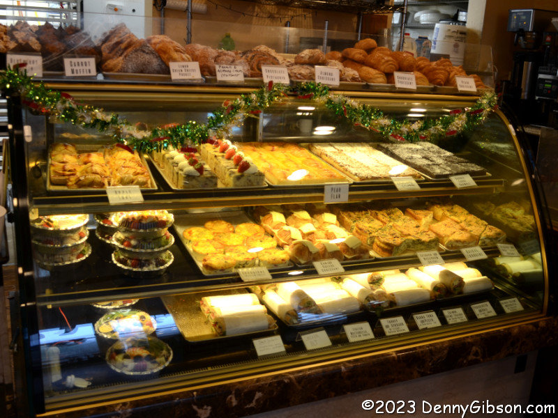
an almond croissant from all the goodies at
Patisserie Didier
Dumas than I put into getting there.
Cris pointed out a bakery last night that seemed within walking distance
of the hotel but as we continued to climb up hill, I decided it wasn't
walkable after all and said so. Then, when I punched it into my phone this
morning, I saw how close it was and decided to walk after all. It really
was all downhill including the stretch in the photo which was actually
labeled. I think I put more effort into picking
an almond croissant from all the goodies at
Patisserie Didier
Dumas than I put into getting there.
|
|
|
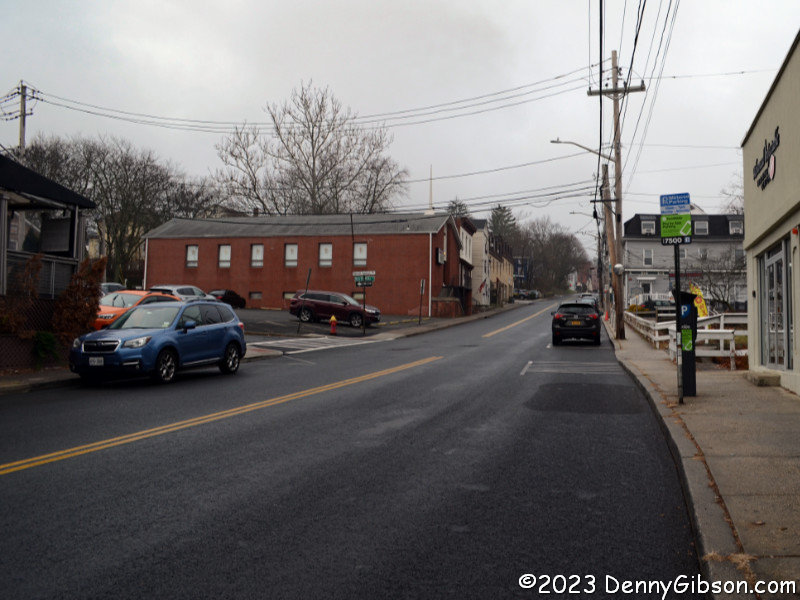
 But now I had to return. I avoided that super steep hill by taking a
slightly different path back but a light rain had developed while I was
eating and someone was teasing me by parking a car that looked like mine
almost in front of the place. A clue as to the climb involved is that,
while both directions measured 0.6 miles in length, getting to the bakery
was estimated at 12 minutes. The estimated time for getting back was 16
minutes. I don't know what my actual time was.
But now I had to return. I avoided that super steep hill by taking a
slightly different path back but a light rain had developed while I was
eating and someone was teasing me by parking a car that looked like mine
almost in front of the place. A clue as to the climb involved is that,
while both directions measured 0.6 miles in length, getting to the bakery
was estimated at 12 minutes. The estimated time for getting back was 16
minutes. I don't know what my actual time was.
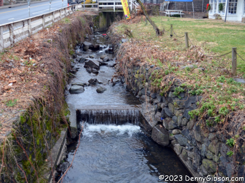
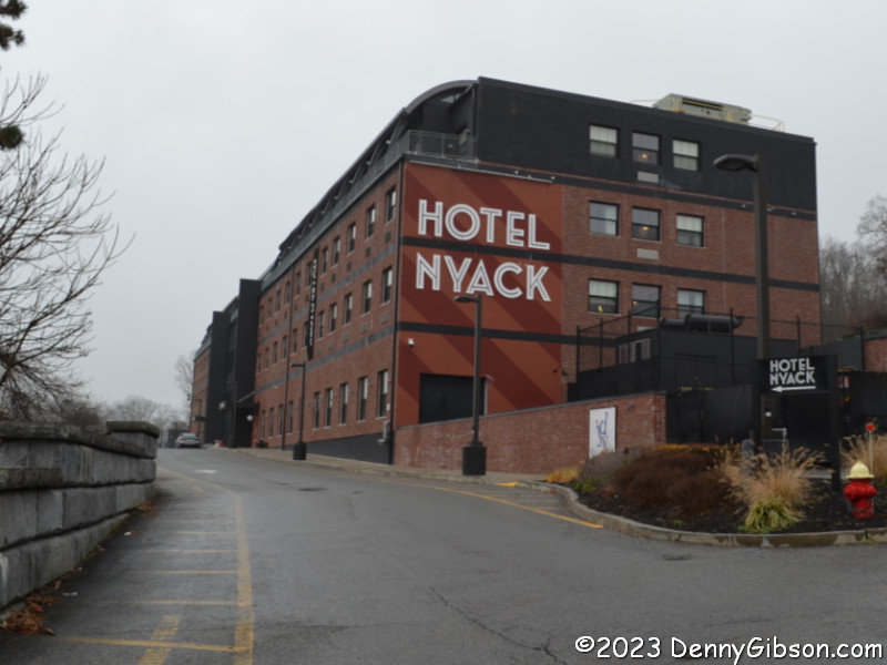
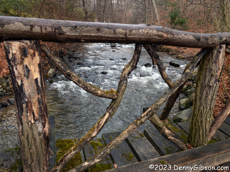
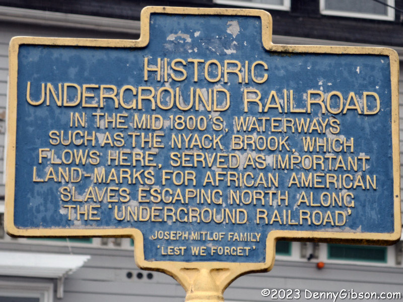
Thankfully, the climb was a little more interesting than the descent. Part of it was beside Nyack Brook which a sign said had been used as a landmark on the Underground Railroad. There was just a little more climbing to do once I reached the hotel lot entrance |
|
|
 After a little recovery time in my room, I set out for Sleepy Hollow. The
phone said it was about twenty minutes away across the nearby Governor
Cuomo Bridge but when I punched it into the Garmin, I got a near one hour
route north over the Bear Mountain Bridge. The phone indicated there were
tolls involved, the GPS didn't, and I attributed the different routing to
that. I had been think of exploring the Hudson a little bit anyway so had
no problem embracing Garmin's route and heading for Bear Mountain. As I
drove north then south along the river, I could tell that this would be an
extremely scenic drive in fair weather and it was an enjoyable one even in
light rain under a gray sky.
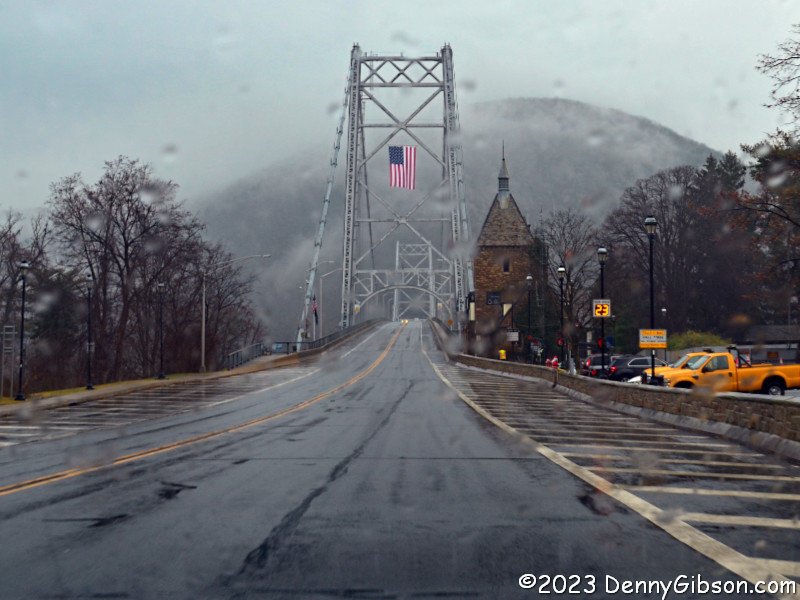
After a little recovery time in my room, I set out for Sleepy Hollow. The
phone said it was about twenty minutes away across the nearby Governor
Cuomo Bridge but when I punched it into the Garmin, I got a near one hour
route north over the Bear Mountain Bridge. The phone indicated there were
tolls involved, the GPS didn't, and I attributed the different routing to
that. I had been think of exploring the Hudson a little bit anyway so had
no problem embracing Garmin's route and heading for Bear Mountain. As I
drove north then south along the river, I could tell that this would be an
extremely scenic drive in fair weather and it was an enjoyable one even in
light rain under a gray sky.
|
|
|
 I did step briefly into the stone building housing
Sleepy Hollow
Cemetery's offices but I didn't need to. Free maps are available in
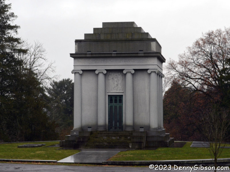
a wall-mounted rack by the door. Walter Chrysler's mausoleum (There's a
better look at the name here.) was my first stop
simply because my car was pointed that way when I started my drive through
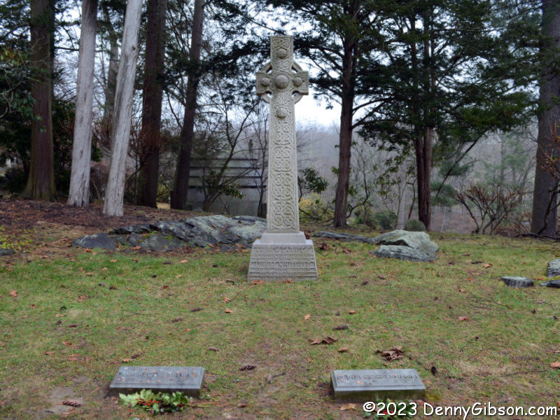
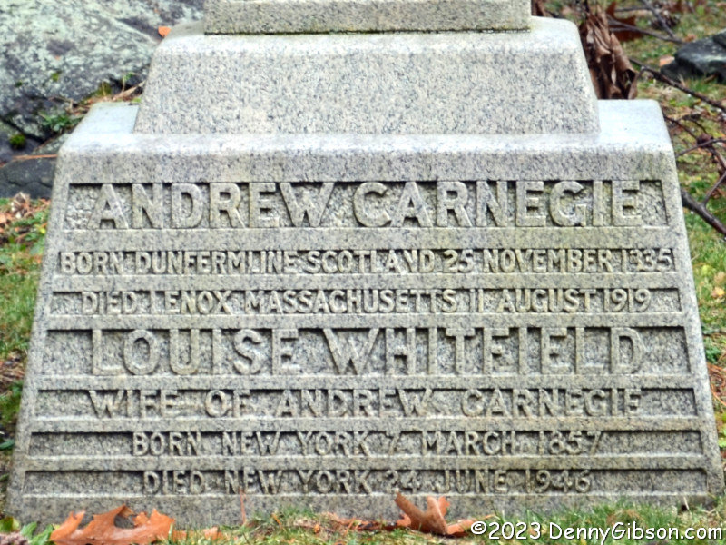
the cemetery. I then headed to the Carnegie plot with stops at the Bronze
Lady and William Rockefeller's mausoleum along the way. I knew nothing
about the Bronze Lady at the time and stopped only because it was noted on
the map. I've since learned that it has
it's own legend. Separate stones mark the graves of
Andrew Carnegie and his wife Louise with some
combined details on the cross beyond.
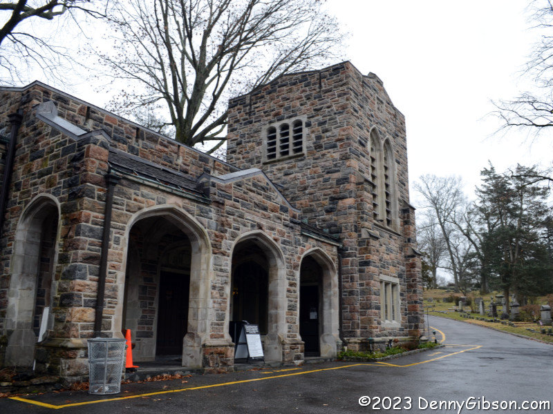
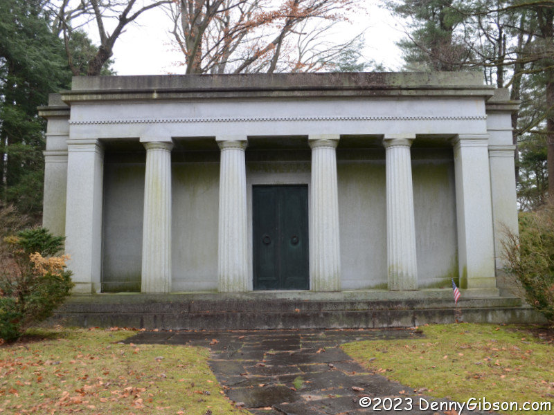
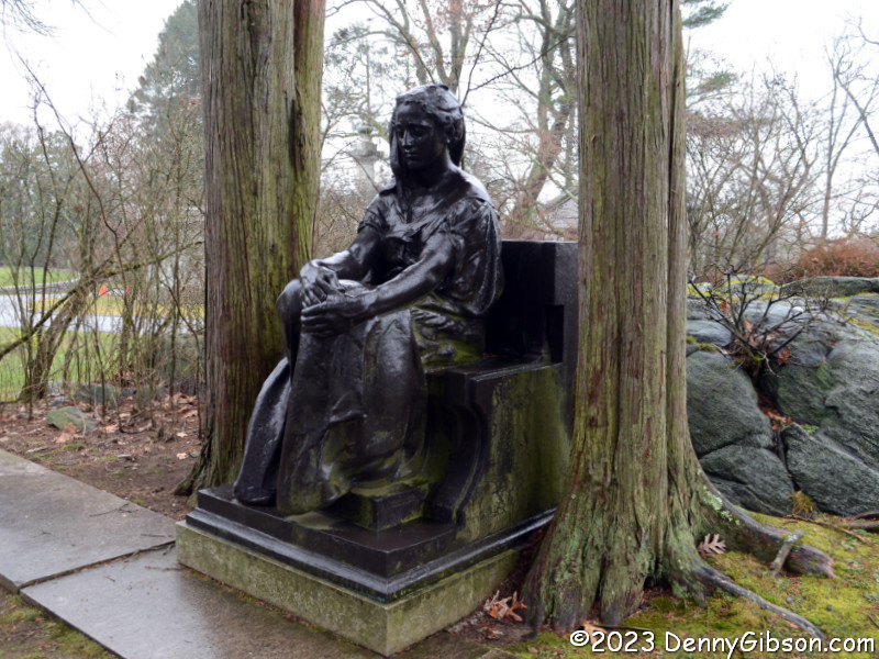
I did step briefly into the stone building housing
Sleepy Hollow
Cemetery's offices but I didn't need to. Free maps are available in
a wall-mounted rack by the door. Walter Chrysler's mausoleum (There's a
better look at the name here.) was my first stop
simply because my car was pointed that way when I started my drive through
the cemetery. I then headed to the Carnegie plot with stops at the Bronze
Lady and William Rockefeller's mausoleum along the way. I knew nothing
about the Bronze Lady at the time and stopped only because it was noted on
the map. I've since learned that it has
it's own legend. Separate stones mark the graves of
Andrew Carnegie and his wife Louise with some
combined details on the cross beyond.
|
|
|
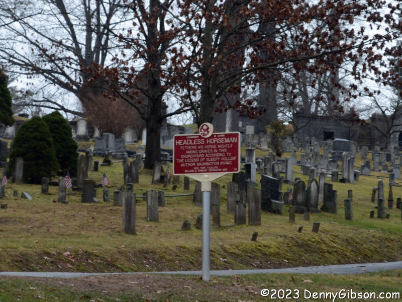
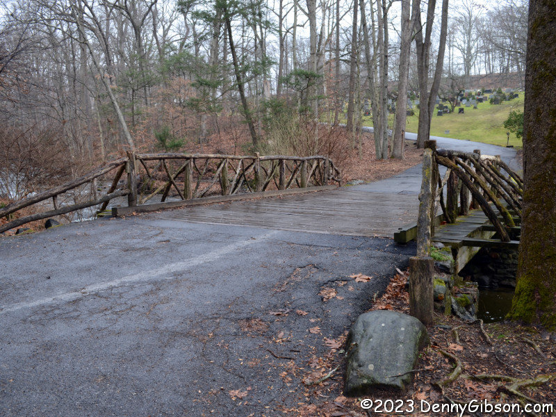 This is the Headless Horseman Bridge which the map dutifully explains is
not the original. The horseman's possible churchyard parking location is
marked by a sign just up the road. I snapped a picture of
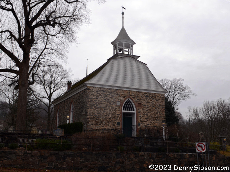
Old Dutch Church from outside the cemetery.
This is the Headless Horseman Bridge which the map dutifully explains is
not the original. The horseman's possible churchyard parking location is
marked by a sign just up the road. I snapped a picture of
Old Dutch Church from outside the cemetery.
|
|
|
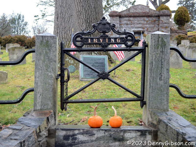
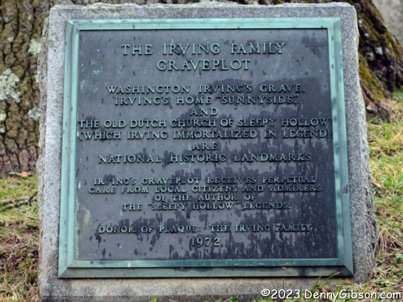
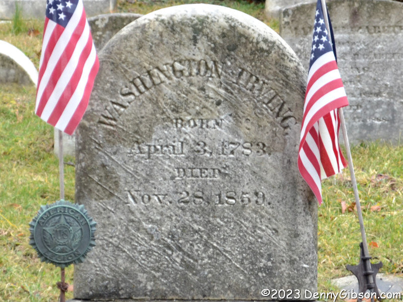
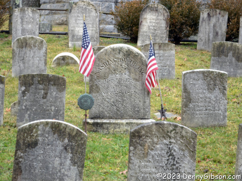 The section of the cemetery containing Washington Irving's grave is
currently off limits to vehicles so I had to hoof it there. I obeyed
"keep out" signs signs at the Irving family plot and grabbed
photos of the plaque and
Washington's tombstone from the fence line. The
flags by the stone honor his service in the War of 1812.
The section of the cemetery containing Washington Irving's grave is
currently off limits to vehicles so I had to hoof it there. I obeyed
"keep out" signs signs at the Irving family plot and grabbed
photos of the plaque and
Washington's tombstone from the fence line. The
flags by the stone honor his service in the War of 1812.
|
|
|
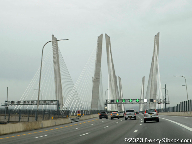 My GPS had no problem routing me back to my hotel on the Cuomo Bridge
making me initially think my toll based explanation of the earlier routing
was nonsense. I have since learned that only eastbound vehicles are
charged. A win for Garmin.
My GPS had no problem routing me back to my hotel on the Cuomo Bridge
making me initially think my toll based explanation of the earlier routing
was nonsense. I have since learned that only eastbound vehicles are
charged. A win for Garmin.
|
|
|
| [Prev] [Site Home] [Trip Home] [Next] |