Straight & Narrow
Prev
Next


|
Day 3: March 4, 2012 Straight & Narrow |
Prev Next |
|
|
|
 Back in 2008,
when the National Route 66 Festival was in Litchfield, Illinois, I noted
that the closest Route 66 came to my home was a point just a few mile
north of there. When I looked up the motel selected for the cruise
overnight, I saw it was situated just a few miles north of Litchfield. It
was, in fact, situated less than a mile from that "closest
point". "What if", I asked myself, "I tried driving
the straight line home." We are about to find out. These pictures are
of N 20th Ave which, at the point I entered it just east of I-55, would be
about a half mile north of my condo -- if the condo jumped 285 miles to
the west. I'll be driving, as close as practical, due east from here.
Back in 2008,
when the National Route 66 Festival was in Litchfield, Illinois, I noted
that the closest Route 66 came to my home was a point just a few mile
north of there. When I looked up the motel selected for the cruise
overnight, I saw it was situated just a few miles north of Litchfield. It
was, in fact, situated less than a mile from that "closest
point". "What if", I asked myself, "I tried driving
the straight line home." We are about to find out. These pictures are
of N 20th Ave which, at the point I entered it just east of I-55, would be
about a half mile north of my condo -- if the condo jumped 285 miles to
the west. I'll be driving, as close as practical, due east from here.
|
|
|
 Sometimes there are decisions to be made.
|
|
|

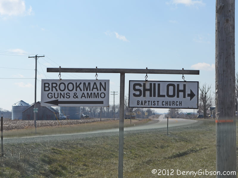
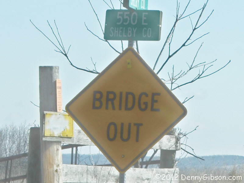
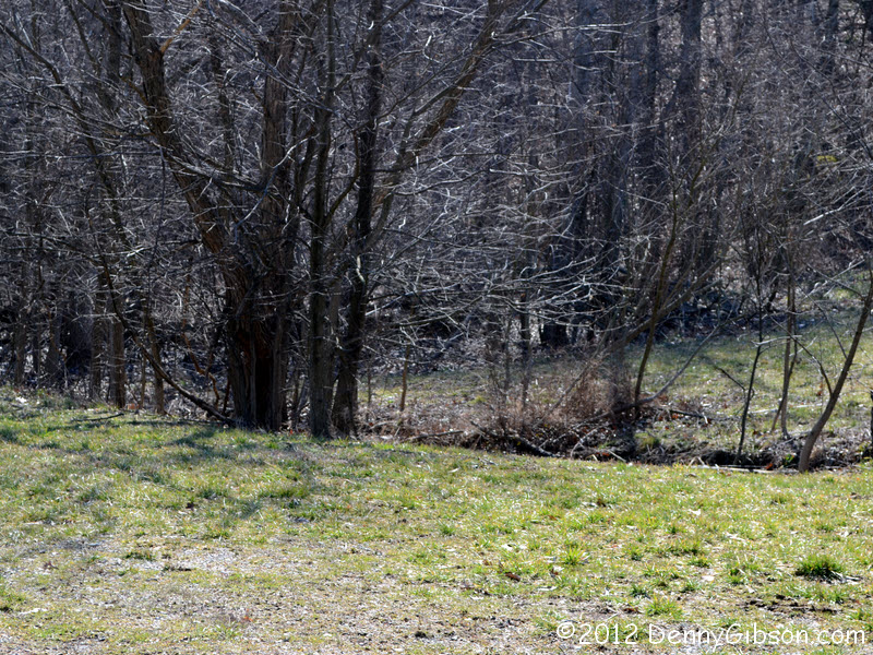
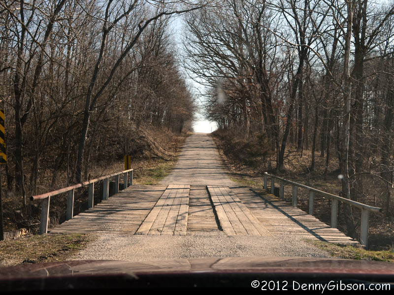 I continued in the direction of the guns & ammo and encountered this
rather basic bridge in about a mile. There was another just like it not
much further on and then the "BRIDGE OUT" sign. It pretty hard
to read in the sun facing picture so here's some
help. Going past the sign was hardly sensible but getting in a position to
read the sign in the first place revealed a certain lack of sense. So,
yeah, I did drive as far as I could but it was a big truck and a
"road closed" sign that stopped me. I never did see the bridge.
More importantly, the stoppage was not on the route shown by both Garmin
and DeLorme. That path headed off into some grass and
trees.
I continued in the direction of the guns & ammo and encountered this
rather basic bridge in about a mile. There was another just like it not
much further on and then the "BRIDGE OUT" sign. It pretty hard
to read in the sun facing picture so here's some
help. Going past the sign was hardly sensible but getting in a position to
read the sign in the first place revealed a certain lack of sense. So,
yeah, I did drive as far as I could but it was a big truck and a
"road closed" sign that stopped me. I never did see the bridge.
More importantly, the stoppage was not on the route shown by both Garmin
and DeLorme. That path headed off into some grass and
trees.
|
|
|
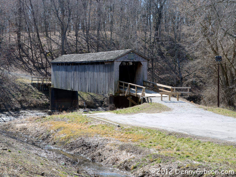
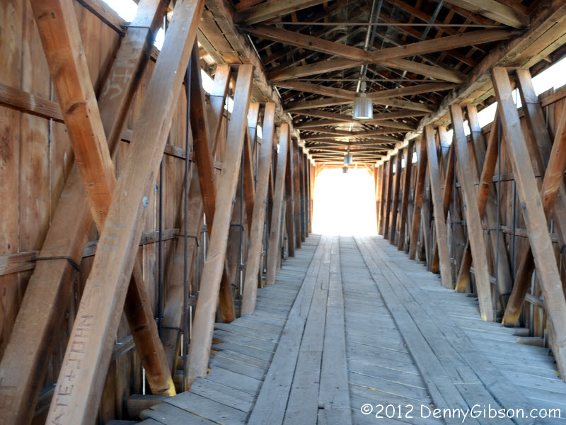
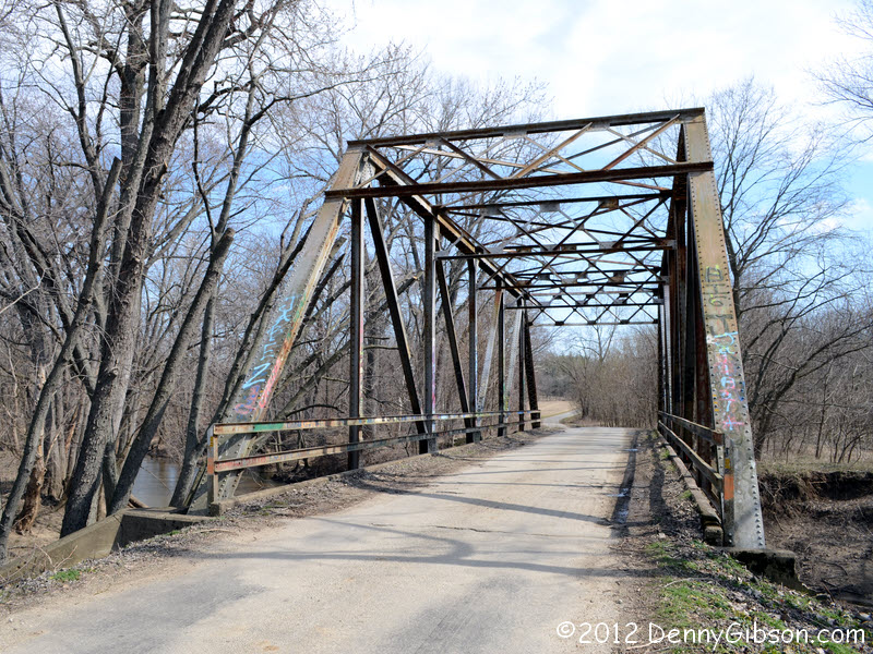 I was back on my intended route after a detour of six or so miles. Then
about three miles east of Cowden, Illinois, I headed a mile off the route
to check out this covered bridge. The steel bridge was on my route (at
this point Shelby County Road 8) some thirteen miles beyond.
I was back on my intended route after a detour of six or so miles. Then
about three miles east of Cowden, Illinois, I headed a mile off the route
to check out this covered bridge. The steel bridge was on my route (at
this point Shelby County Road 8) some thirteen miles beyond.
|
|
|
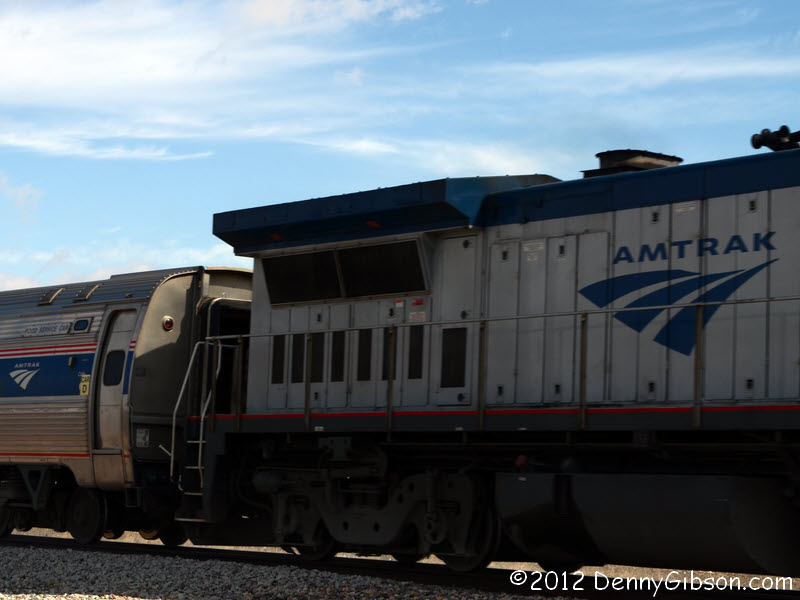
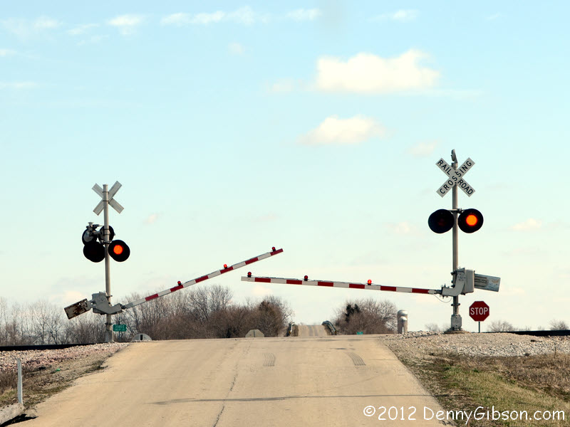
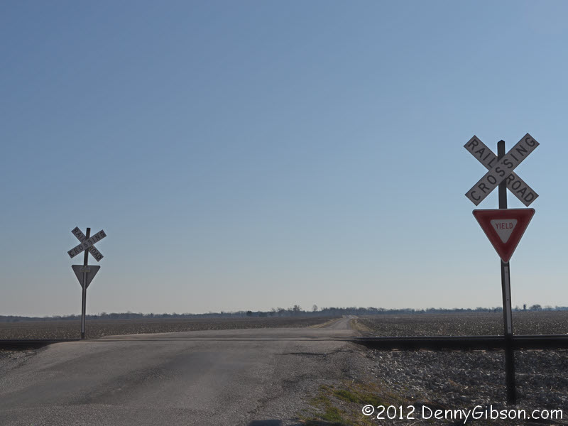
 Despite seeing the gates start down from a distance and reaching them
while they were still in motion, the train -- with passengers! -- streaked
by while I was still contemplating getting out of the car for a better
shot.
Despite seeing the gates start down from a distance and reaching them
while they were still in motion, the train -- with passengers! -- streaked
by while I was still contemplating getting out of the car for a better
shot.
|
|
|
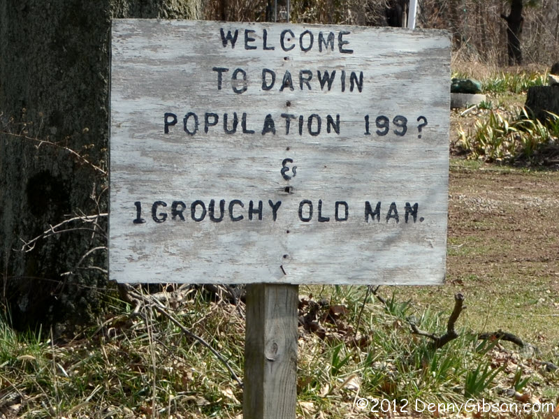
 I think that the inspiration for this sign was something along the lines
of "Welcome to Mytown, home to 999 happy people and 1 grouchy old
man" but it lost a little in the translation.
I think that the inspiration for this sign was something along the lines
of "Welcome to Mytown, home to 999 happy people and 1 grouchy old
man" but it lost a little in the translation.
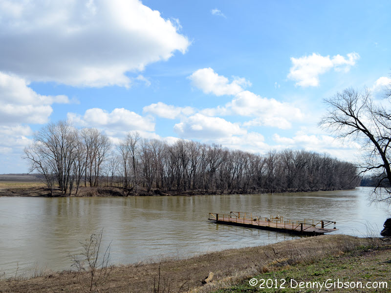
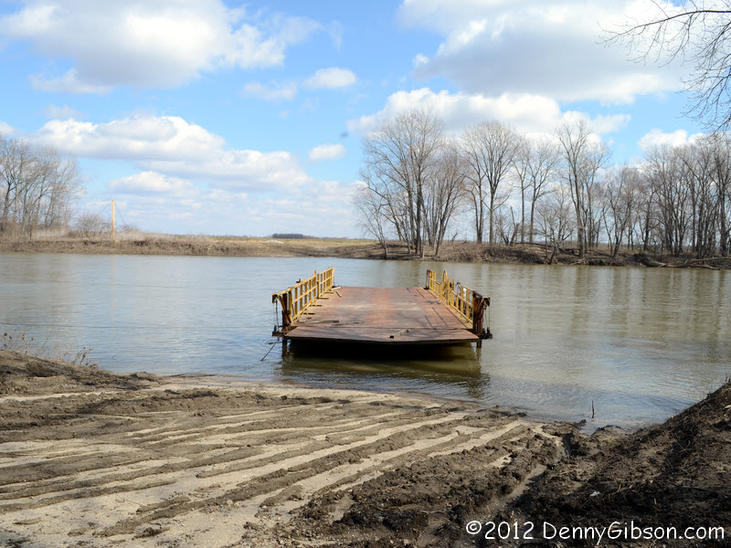
When I first plotted my path with DeLorme's Street Atlas, it sent me straight through Darwin. When I moved it to Garmin (my standard procedure) it sent me around Darwin and almost to Terre Haute. The reason is that the ferry, still used by local farmers who own it, last served the public in the 1980s. I still wanted to see the ferry and, since Terre Haute is semi-familiar territory, I plotted my own detour to the south. |
|
|
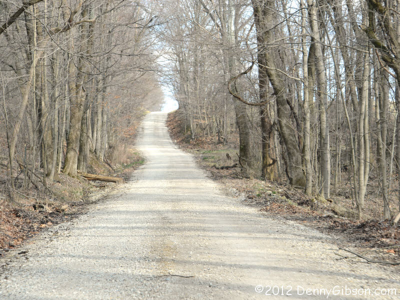
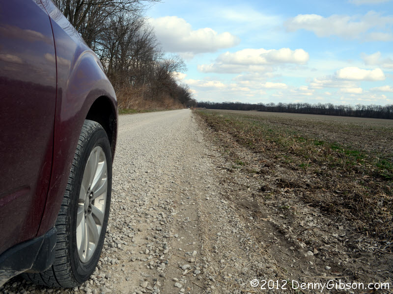
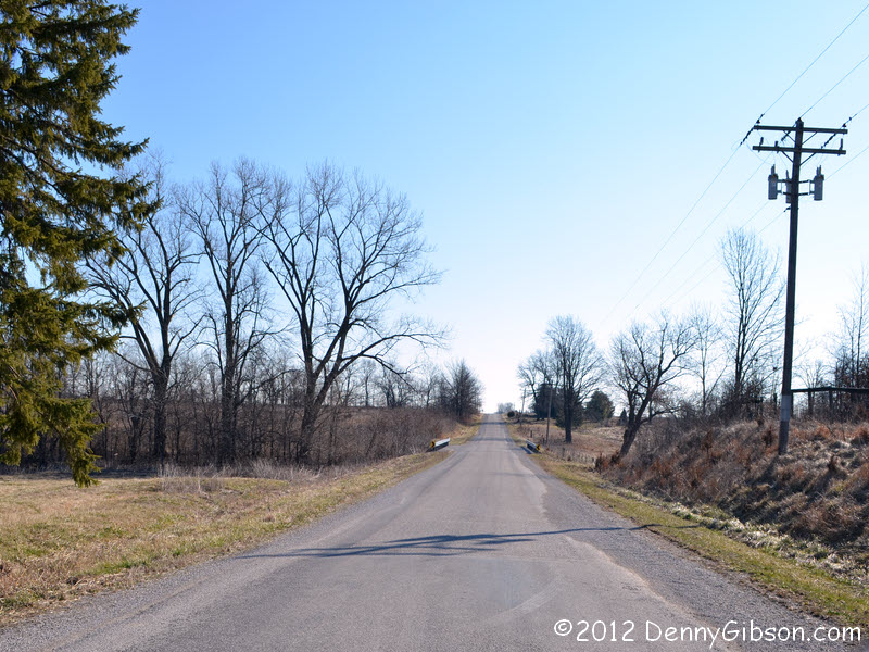
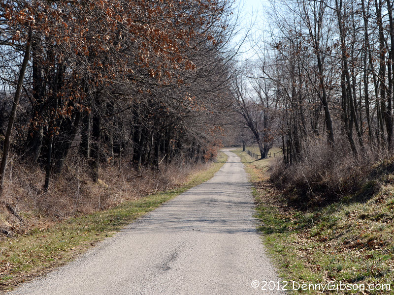
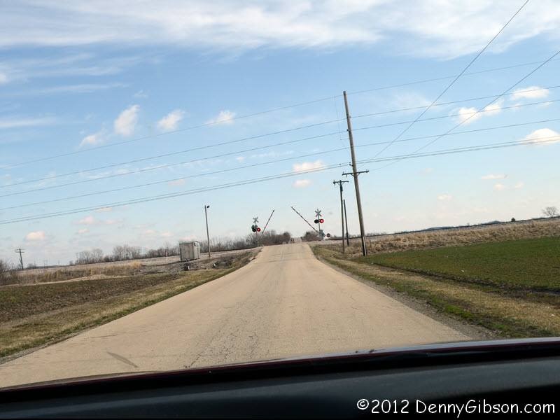
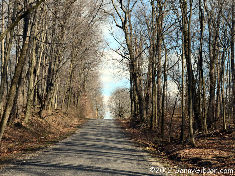 Just a few more examples of the roads comprising the "shortest
distance between two points".
Just a few more examples of the roads comprising the "shortest
distance between two points".
|
|
|
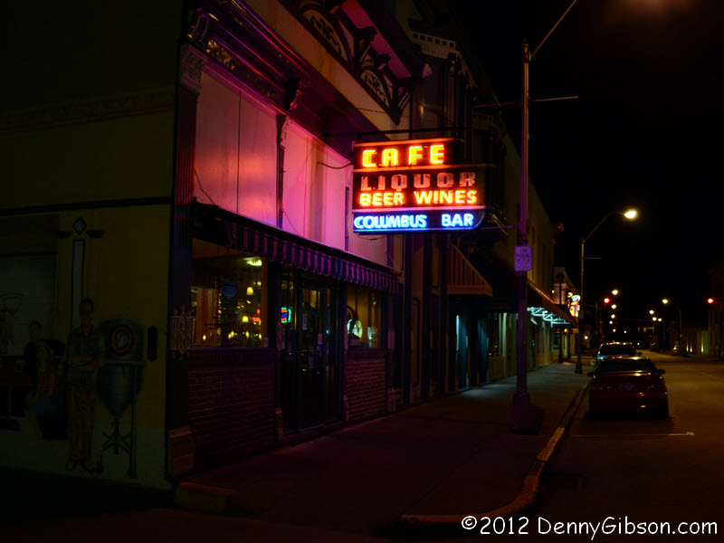
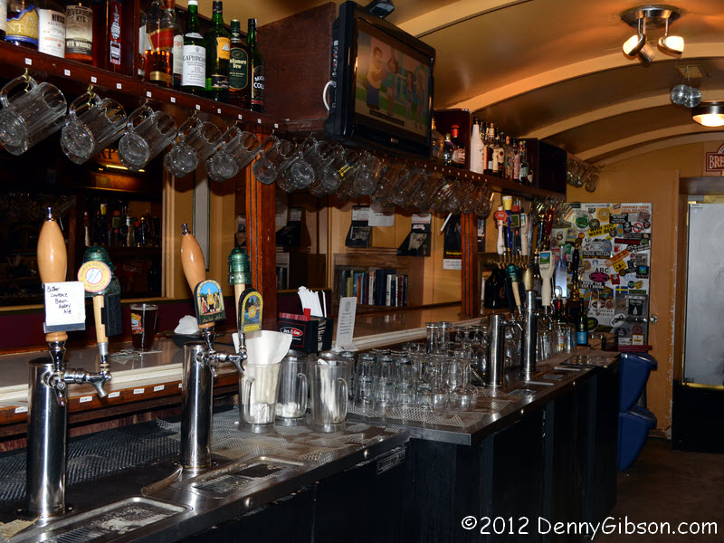 I ended the day in Columbus, Indiana, where a welcome surprise was
learning that a brewery started operation in the town about six years ago.
Power House
Brewing's home is a building erected in 1890 as a blacksmith shop. The
founder of Sap's Doughnuts once owned the place giving it the name Columbus
Bar and putting a horseshoe bar. Both name and bar remain. The About page
of their website includes much more of the building's interesting history.
I ended the day in Columbus, Indiana, where a welcome surprise was
learning that a brewery started operation in the town about six years ago.
Power House
Brewing's home is a building erected in 1890 as a blacksmith shop. The
founder of Sap's Doughnuts once owned the place giving it the name Columbus
Bar and putting a horseshoe bar. Both name and bar remain. The About page
of their website includes much more of the building's interesting history.
|
|
|
| [Prev] [Site Home] [Trip Home] [Contact] [Next] |