Gravel & Sand
Prev
Next


|
Day 22: August 15, 2012 Gravel & Sand |
Prev Next |
|
|
|


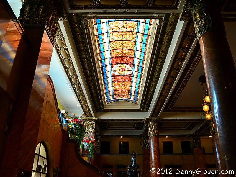
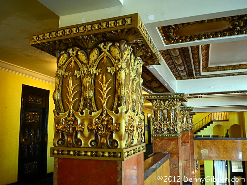
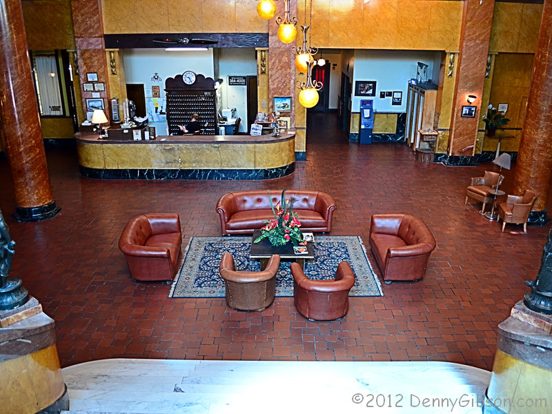
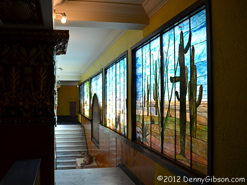 I said I'd try for some better pictures of the Hotel Gadsden in the morning and here they
are. The first is of the forty-two foot Tiffany stained glass mural at the
top of the marble staircase. Next is a view of the lobby from the top of
that staircase then a shot of the top of the columns. Then there are a
couple of shots from downstairs and one at the side door. Quite a few feet
passed this way before mine.
I said I'd try for some better pictures of the Hotel Gadsden in the morning and here they
are. The first is of the forty-two foot Tiffany stained glass mural at the
top of the marble staircase. Next is a view of the lobby from the top of
that staircase then a shot of the top of the columns. Then there are a
couple of shots from downstairs and one at the side door. Quite a few feet
passed this way before mine.
|
|
|
 When he noticed that I was in Douglas, Arizona, Steve Varner contacted me
on Facebook and provided links to tracks and photos for
Arizona and
New Mexico. Steve has US-80 tracks and photos for other states along
with lots of other road related information at his website. Exploration of Route 80 wasn't planned as
part of this trip but the tracks were pretty intriguing and led to this
off pavement excursion. Thanks, Steve.
When he noticed that I was in Douglas, Arizona, Steve Varner contacted me
on Facebook and provided links to tracks and photos for
Arizona and
New Mexico. Steve has US-80 tracks and photos for other states along
with lots of other road related information at his website. Exploration of Route 80 wasn't planned as
part of this trip but the tracks were pretty intriguing and led to this
off pavement excursion. Thanks, Steve.
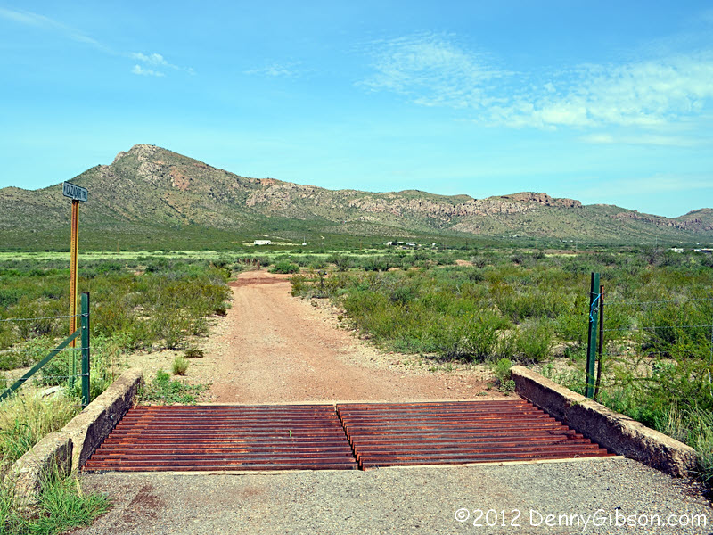
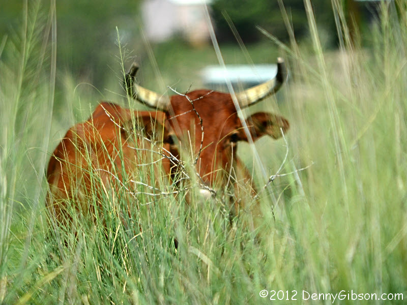
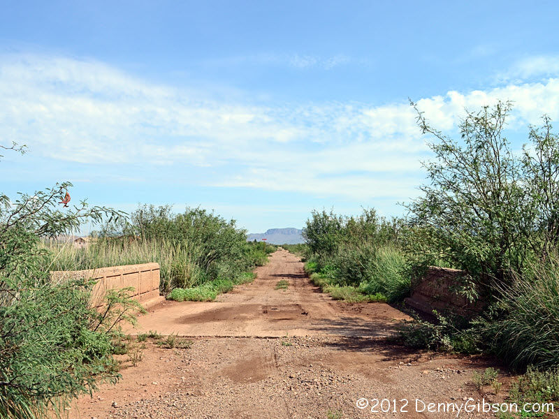
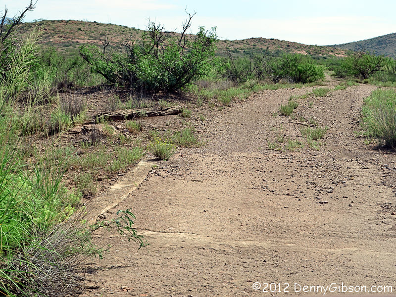
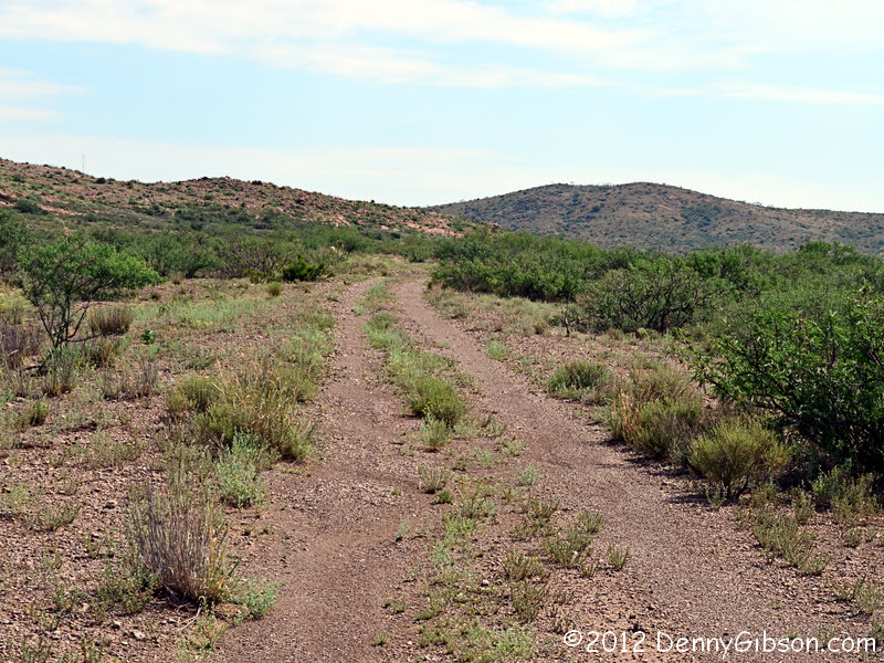
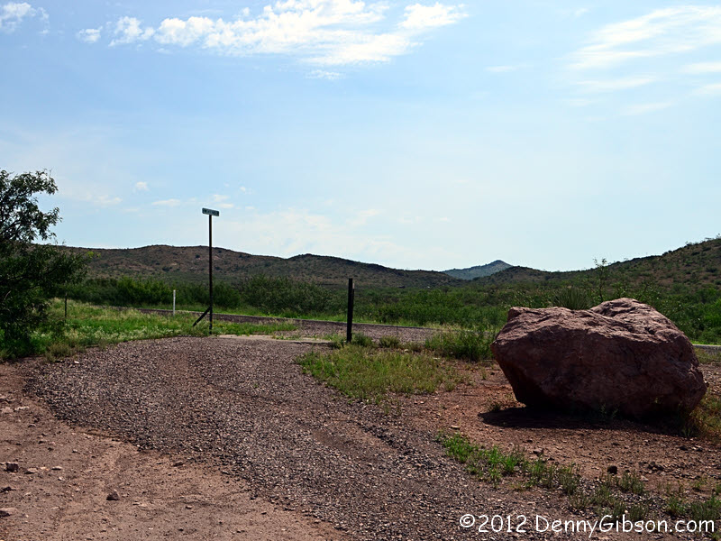
This dirt road is signed Cazador Trail and leads to the "true" Cazador Trail -- and Old Spanish Trail and old US-80 -- in a couple hundred yards. It is about ten miles north of Douglas. At roughly the same time as I reached the old alignment, I was reminded of why there are cattle guards. I was also made to question whether being on this side of them was a good idea. I saw no obvious date on the bridge but did not examine it closely. Well beyond the bridge was something that may have been a bit of old pavement although Steve indicates that this section was never fully paved. This whole loop was about a mile in length so I was never more than a half mile from the current AZ-80 but there were spots where it looked quite isolated and probably about the same as it did in the 1920s. The sign where the loop rejoins AZ-80 reads "Pink Rock Ranch Road". |
|
|
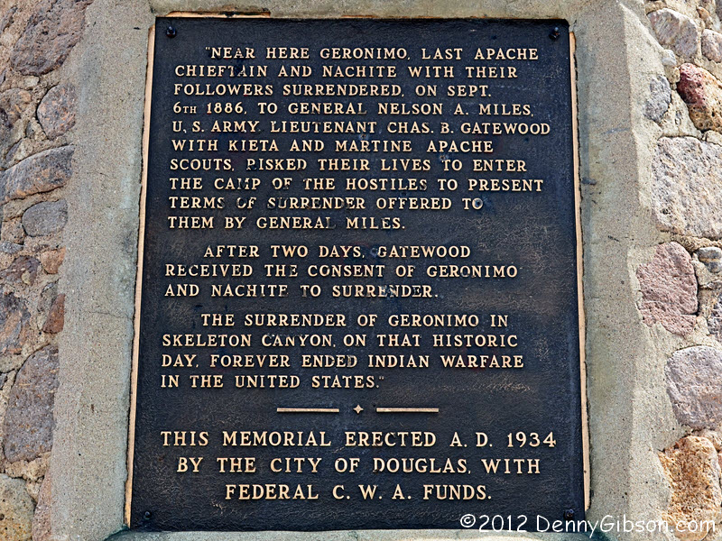
 The American Indian chief Geronimo surrendered near this spot in 1886. The
plaque says September 6; Most other sources
say September 4. The plaque also says that the surrender "...forever
ended Indian warfare in the United States." I suppose things like the
1890 Wounded Knee Massacre can't really be called warfare.
The American Indian chief Geronimo surrendered near this spot in 1886. The
plaque says September 6; Most other sources
say September 4. The plaque also says that the surrender "...forever
ended Indian warfare in the United States." I suppose things like the
1890 Wounded Knee Massacre can't really be called warfare.
|
|
|

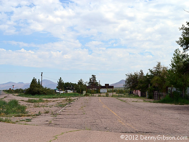
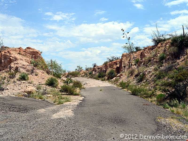
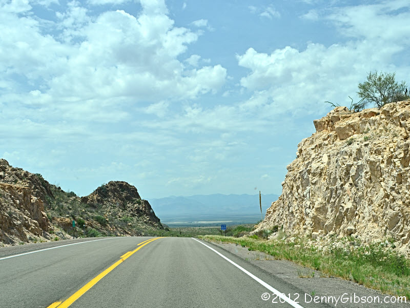
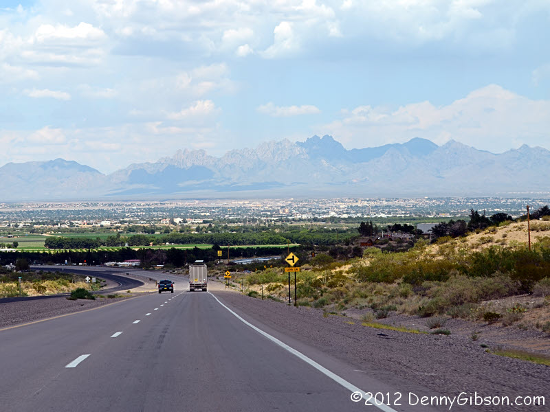 There are several bridges just like this one on the former US-80 current
AZ-80. This one is within sight of the Geronimo monument. The abandoned
bit of pavement is in the town of Rodeo. The very short gravel segment
that merely goes around the rock was bypassed to soften a curve and it
would be silly to drive it. Yes I did. The fourth picture faces west from
near the spot of the bypassed curve. It's the wrong way but is a very
dramatic -- more dramatic than the photo -- view. Another dramatic view is
the entry into Las Cruces.
There are several bridges just like this one on the former US-80 current
AZ-80. This one is within sight of the Geronimo monument. The abandoned
bit of pavement is in the town of Rodeo. The very short gravel segment
that merely goes around the rock was bypassed to soften a curve and it
would be silly to drive it. Yes I did. The fourth picture faces west from
near the spot of the bypassed curve. It's the wrong way but is a very
dramatic -- more dramatic than the photo -- view. Another dramatic view is
the entry into Las Cruces.
|
|
|

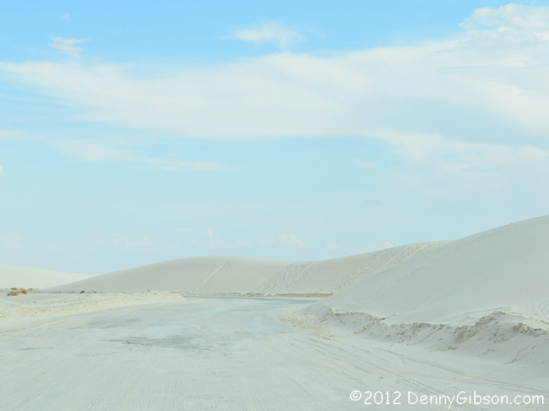
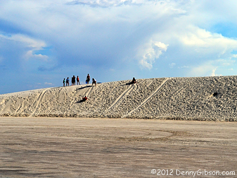
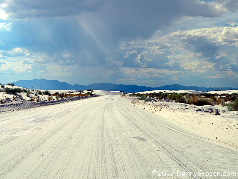
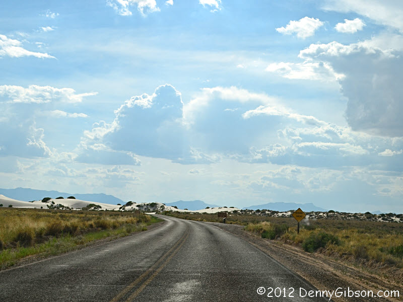
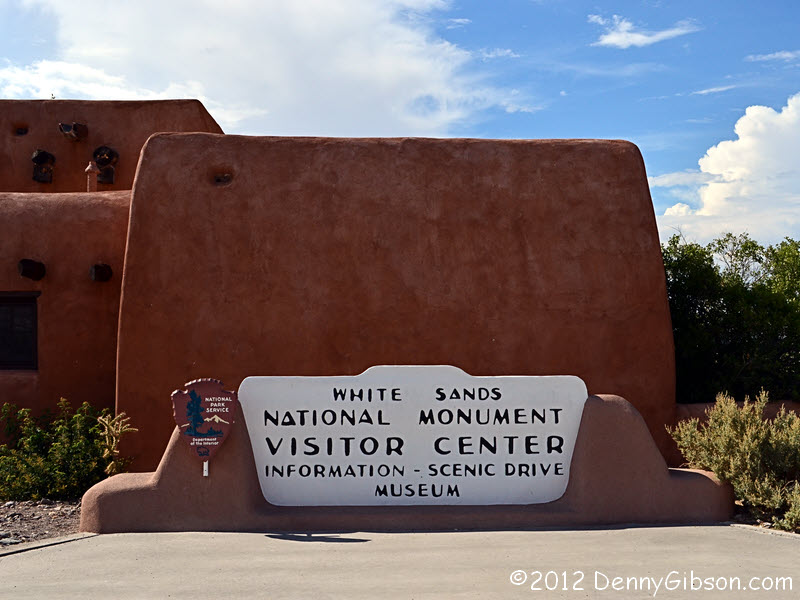 I considered ending the day in Las Cruces but it was still early. In fact
I had plenty of time to drive the scenic loop at
White Sands National
Monument. The sky looked slightly strange over the dunes and I think I
saw some rain in the distance. Sledding is permitted and the gift shop
even sells saucer sleds. I saw lots of people standing at the tops of
dunes or climbing up them but I only saw two instances of actual sledding.
There are picnic shelters, camping areas, and hiking trails. I did none of
the above.
I considered ending the day in Las Cruces but it was still early. In fact
I had plenty of time to drive the scenic loop at
White Sands National
Monument. The sky looked slightly strange over the dunes and I think I
saw some rain in the distance. Sledding is permitted and the gift shop
even sells saucer sleds. I saw lots of people standing at the tops of
dunes or climbing up them but I only saw two instances of actual sledding.
There are picnic shelters, camping areas, and hiking trails. I did none of
the above.
|
|
|
| [Prev] [Site Home] [Trip Home] [Contact] [Next] |