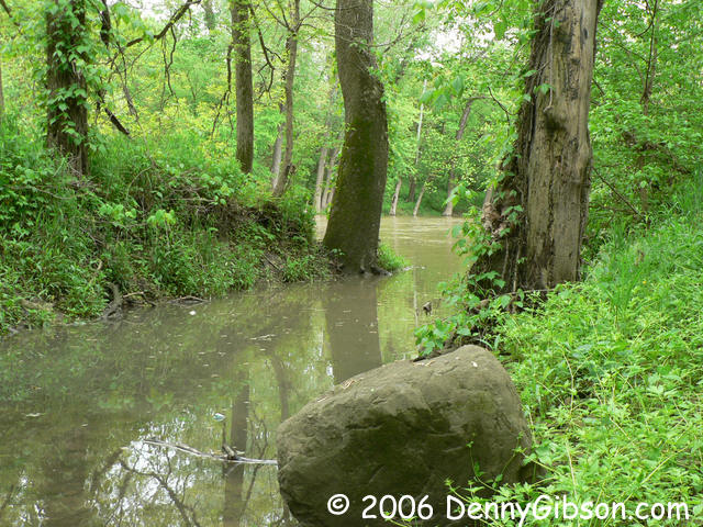
In the mid-nineteenth century, all four of the major transportation methods of the time came together in Tadmor, Ohio. For starters, the village sat on the banks of the Great Miami River a few miles north of Dayton. Then the Miami & Erie Canal came through on Tadmor's western edge. The National Road reached there in 1839 and the Dayton & Michigan Railroad rounded out things when it was completed in 1851. Only a couple of dozen people actually lived in Tadmor but a lot of people passed through along with plenty of freight. The river, railroad, and canal carried things north and south with the National Road being the sole east-west connection.
River travel declined when the more dependable canal was built and the railroad triggered a similar decline in canal use. Since much of the east-west traffic followed the "Dayton Cutoff" instead of the official National Road, this section was never as heavily traveled as other sections of the road. By the turn of the century, only the rails carried much traffic through Tadmor.
Then came the 1913 flood and dramatic changes followed. Dayton decided to get serious about the long standing flood problem and built a set of five dams. One of those was on the Great Miami near Tadmor and the National Road was rerouted across its top. In 1926, that became US-40. The railroad moved west to higher ground where CSX operates today and the canal was simply abandoned. The Great Miami River remained great and remained a river but its flow could now be held up with the new dam. Dayton was now safe from floods but Tadmor was soon gone.
Today the site is inside
Taylorsville Metro Park and can be reached by walking or
pedaling 1.3 miles from a parking area at the west end of the dam. The
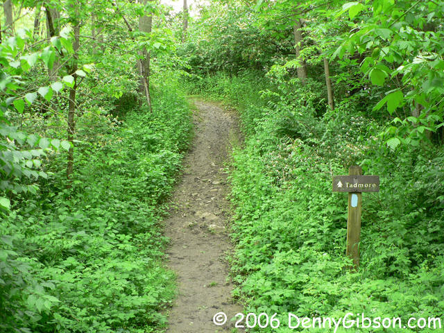
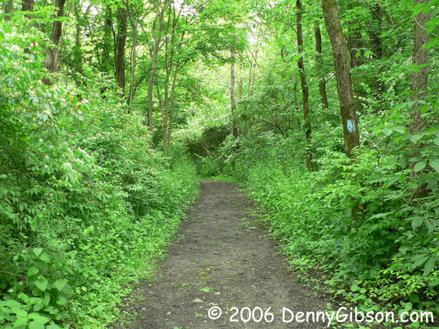
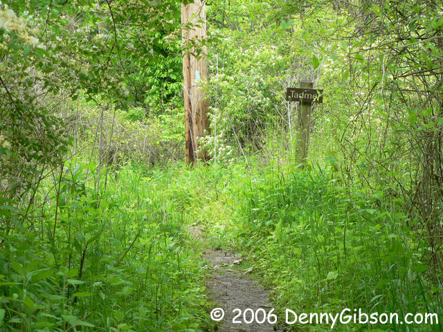
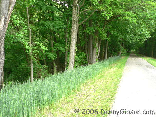
Buckeye
Trail more or less follows the old canal tow path on the east side of the
canal. It's fairly level and well marked. Actually, it's well traveled so the
blue blaze trail markings don't really come into play. A paved bike/hike path
runs along the west side of the former canal. On this day, only the Buckeye
Trail had a Tadmor sign so that is the path I chose. As it turns out, the
canal is easily crossed at Tadmor (It's pretty much gone.
 ) so biking or skating there is possible. In fact,
although not marked on current park maps, the paved path, known as the Great
Miami River Recreational Trail, now extends north to Old Springfield Road so
you can skate to Tadmor from either direction. I'm sure signs and maps will
soon catch up.
) so biking or skating there is possible. In fact,
although not marked on current park maps, the paved path, known as the Great
Miami River Recreational Trail, now extends north to Old Springfield Road so
you can skate to Tadmor from either direction. I'm sure signs and maps will
soon catch up.
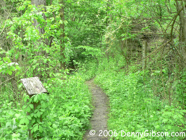
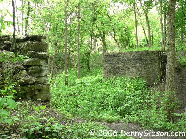
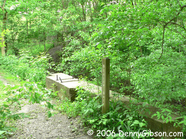
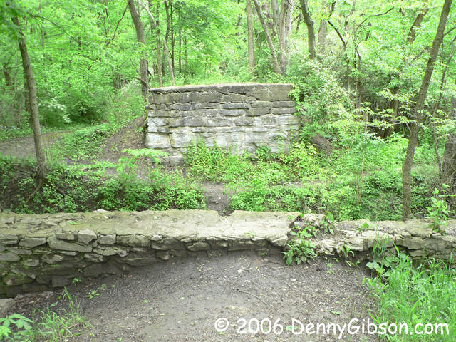
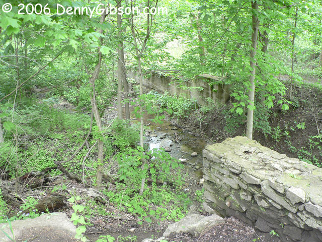
There's not much of Tadmor left. I managed to work my hike in between actual rainfall but just barely. That meant things were rather wet so I did not explore very far off of the trail. At the trail, the concrete base of a sluice gate and the stone abutments of a bridge that once crossed the canal are all that remain. An abutment of the National Road bridge is a bit to the north but requires some off trail scrambling to reach. Having discovered that the canal channel was easily crossed at Tadmor, I did just that, took a few pictures from the west, and headed back on asphalt.
|
|
|
|
|
|
|
|

|
|
|
|