Riding the Dusty Trail
Comment via blog
Prev
Next


|
Day 6: June 24, 2017 Riding the Dusty Trail Comment via blog |
Prev Next |
|
|
|

 The day started with the Lincoln Highway Association general membership
meeting. It was held over breakfast and I did get a few pictures but
you've seen people eating before. It's time for some road pics.
The day started with the Lincoln Highway Association general membership
meeting. It was held over breakfast and I did get a few pictures but
you've seen people eating before. It's time for some road pics.
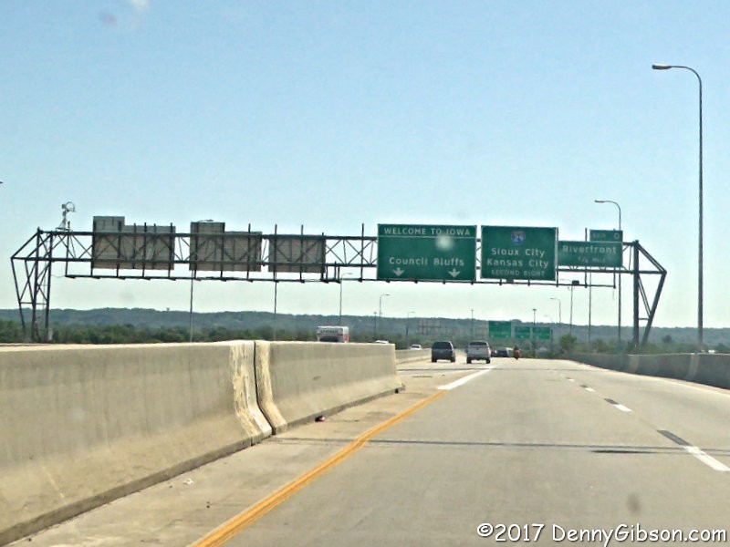
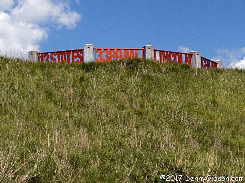
I headed west from Denison to pick up the LH at the state line. Much of today's route will duplicate that of the bus tours but this time I'll see things from car level and will be able to stop when I want. |
|
|
 Not everything is a repeat of a bus tour. For example, the buses did not
drive this bypassed alignment just two miles north of I-680.
Not everything is a repeat of a bus tour. For example, the buses did not
drive this bypassed alignment just two miles north of I-680.
|
|
|

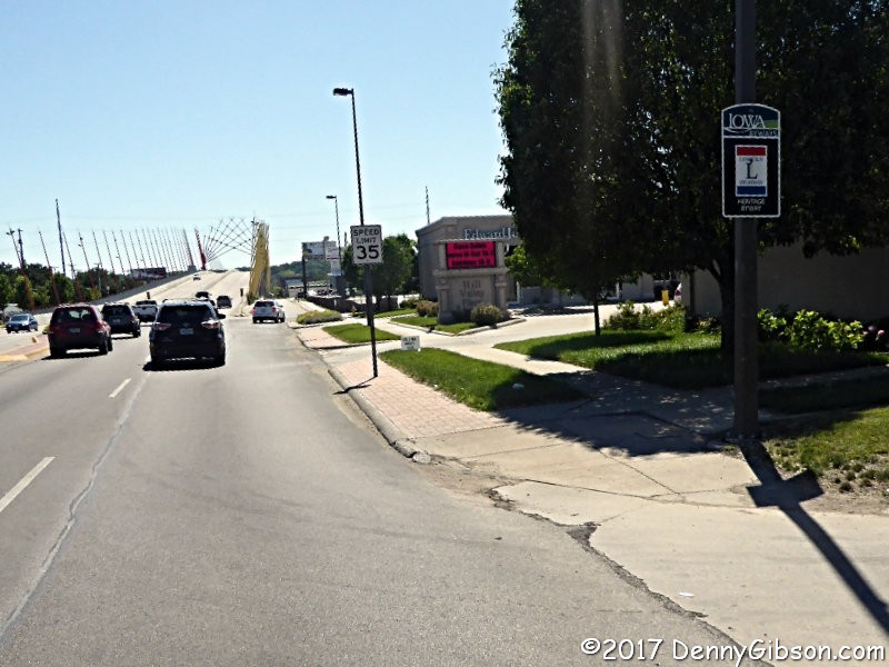
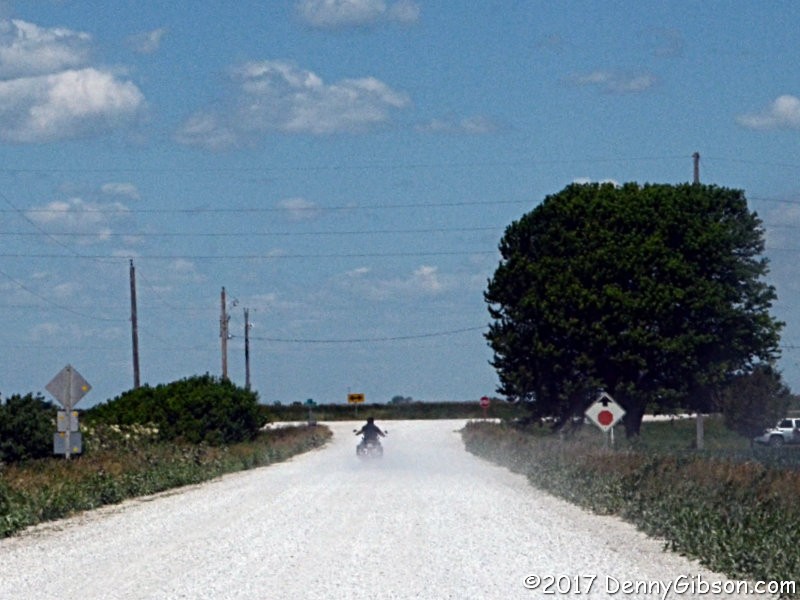
 I did not pull into the Harrison County Welcome Center today but did pause
on US-30 for a couple of pictures from the underlook.
I did not pull into the Harrison County Welcome Center today but did pause
on US-30 for a couple of pictures from the underlook.
|
|
|

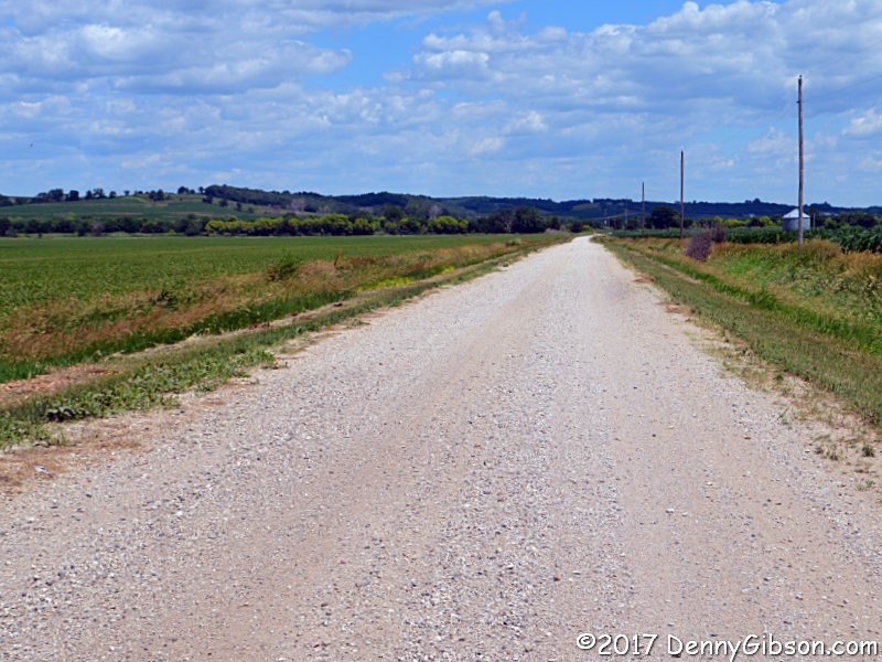
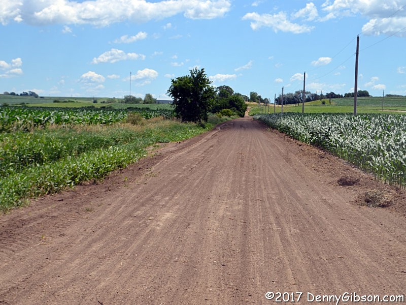

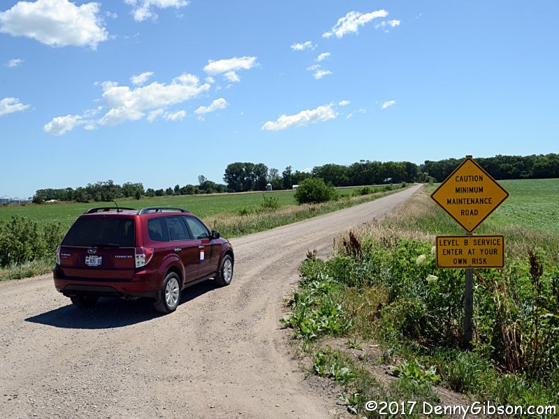
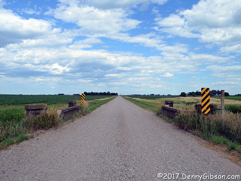
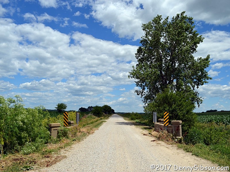 The first photo is of a gravel section about two mile north of the Welcome
Center. The others are of some stair-steps north of Logan. Most of the
gravel roads are well maintained and would be safe to drive in almost any
vehicle. There were stretches of dirt, however, where I was quite happy to
be in the AWD Forester and some, like the one in the fourth picture, I'd
try to avoid after a rain AWD or not.
The first photo is of a gravel section about two mile north of the Welcome
Center. The others are of some stair-steps north of Logan. Most of the
gravel roads are well maintained and would be safe to drive in almost any
vehicle. There were stretches of dirt, however, where I was quite happy to
be in the AWD Forester and some, like the one in the fourth picture, I'd
try to avoid after a rain AWD or not.
|
|
|
 I took a break from the gravel and dirt in Woodbine.
|
|
|
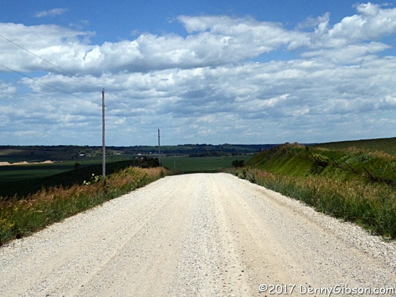

 The first three are from a long gravel section between Woodbine and
Dunlap. The fourth is from a fairly short stretch between Denison and
Vail. I know that some of you think all gravel roads look alike and to you
I apologize. But how about them clouds?
The first three are from a long gravel section between Woodbine and
Dunlap. The fourth is from a fairly short stretch between Denison and
Vail. I know that some of you think all gravel roads look alike and to you
I apologize. But how about them clouds?
|
|
|
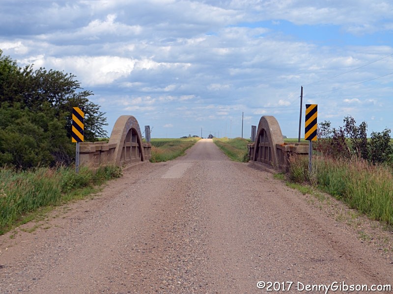
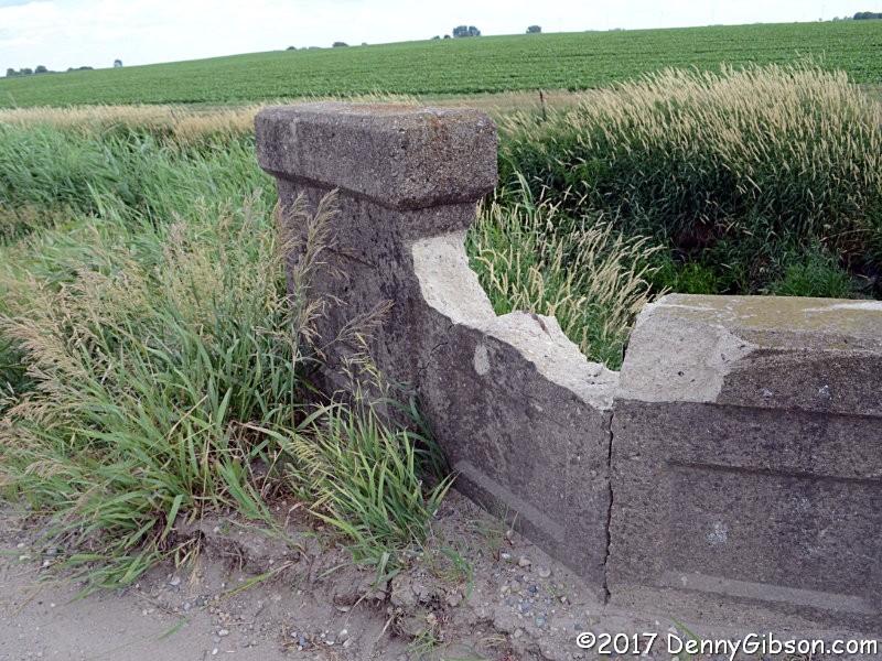
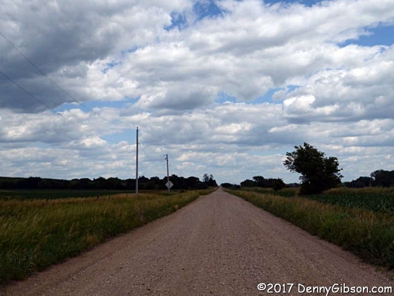
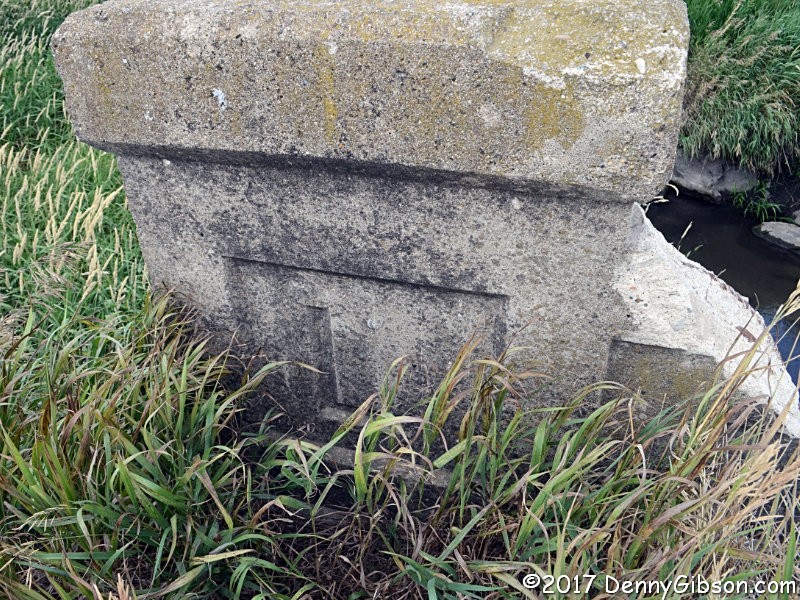
 Yes, it's more gravel road pictures but there's a little more to these.
They are from the gravel section that passes north of Beaver. The first
two are of the 'L' Bridge. Grass that hides the 'L's is easily pulled
aside for a better view but smashed railings
aren't so easily dealt with. It seems unlikely that any repair could be
made without really altering the appearance of the old bridge any it's
fair to question whether repairs should even be attempted since other,
more accessible, pieces of history need preservation resources, too.
Yes, it's more gravel road pictures but there's a little more to these.
They are from the gravel section that passes north of Beaver. The first
two are of the 'L' Bridge. Grass that hides the 'L's is easily pulled
aside for a better view but smashed railings
aren't so easily dealt with. It seems unlikely that any repair could be
made without really altering the appearance of the old bridge any it's
fair to question whether repairs should even be attempted since other,
more accessible, pieces of history need preservation resources, too.
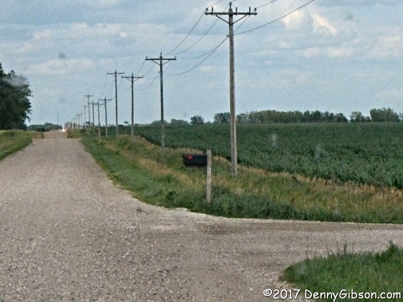
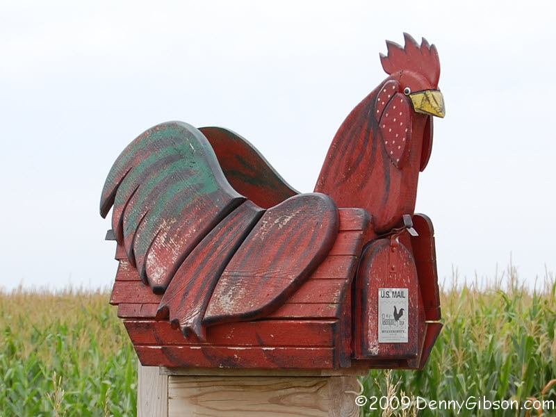
The good looking Marsh Arch in the fourth picture dates from 1915. In between the two bridges is a mailbox that probably has meaning only to me. About three years ago, my website started seeing a significant number of hits on a particular picture. It was taken in 2009 and showed a single mailbox. The hits kept on coming and increasing and I eventually figured out that almost all were coming from Pinterest. Pinterest users are a sharing bunch and not only did the number of hits keep increasing, so too did the number of sources. The mailbox in the popular photo is chicken shaped. The photo is here. The chicken used to stand where the boring black box does now. Chicky is gone but I doubt the hits on the picture will decrease or the queries about buying or building one go away. |
|
|
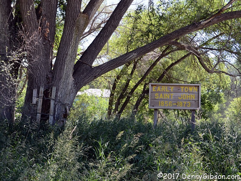
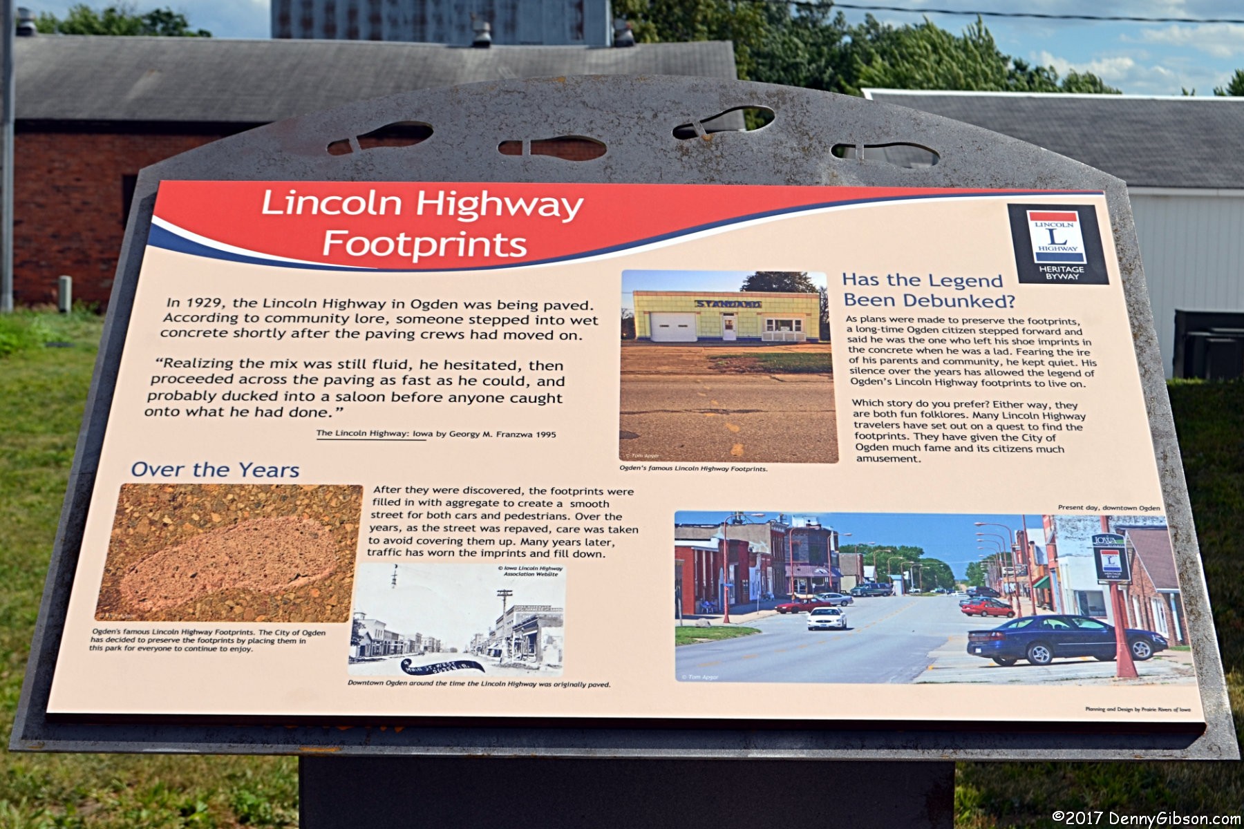
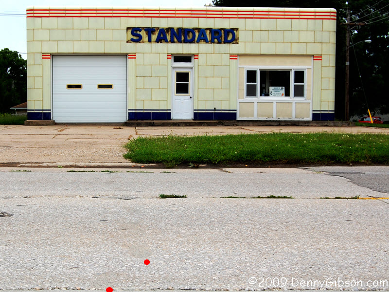
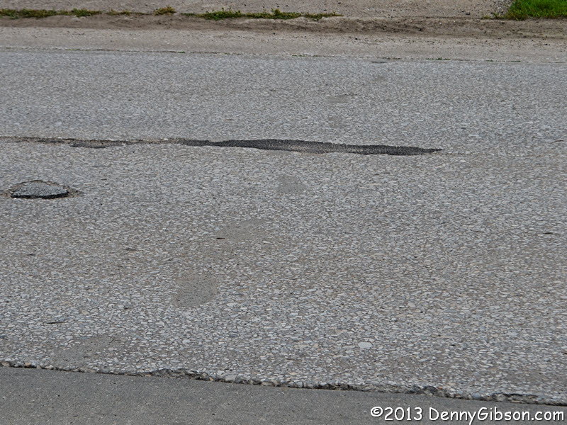
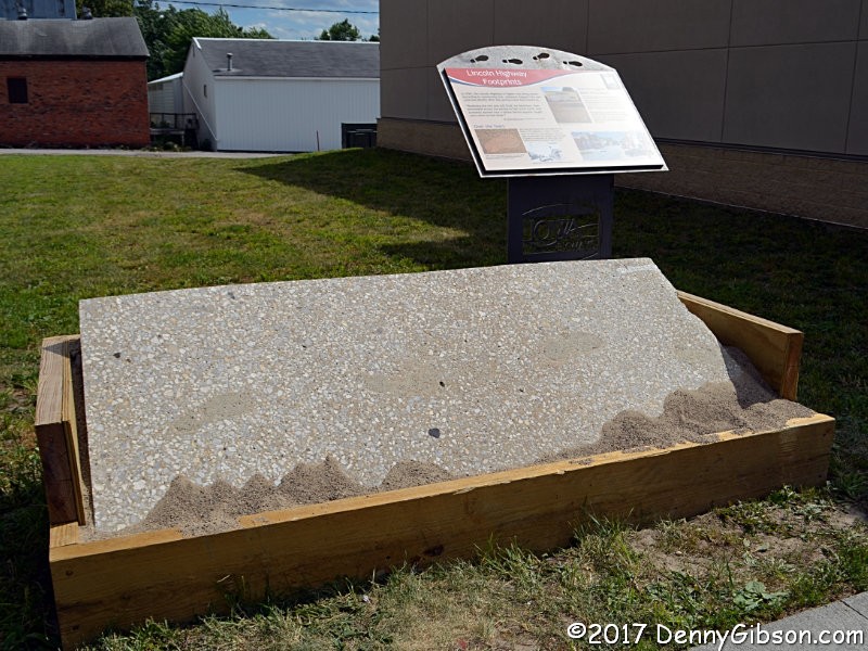 The gravel road in the previous panel leads into Ogden where something
else is gone. For nearly nine decades Ogden's main street (Lincoln
Highway) preserved a 1929 goof. Someone had crossed the street through
fresh concrete and the city refrained from paving over the section
containing the evidence. But the pavement finally deteriorated to a point
where repairs were necessary. The section is now covered with asphalt but
a portion of the concrete containing the prints is preserved in a small
park a bit to the east of their original location. A large and hopefully
readable picture of the information panel is
here. Photos of the prints in their original
setting can be seen here
(2009) and here (2013).
The gravel road in the previous panel leads into Ogden where something
else is gone. For nearly nine decades Ogden's main street (Lincoln
Highway) preserved a 1929 goof. Someone had crossed the street through
fresh concrete and the city refrained from paving over the section
containing the evidence. But the pavement finally deteriorated to a point
where repairs were necessary. The section is now covered with asphalt but
a portion of the concrete containing the prints is preserved in a small
park a bit to the east of their original location. A large and hopefully
readable picture of the information panel is
here. Photos of the prints in their original
setting can be seen here
(2009) and here (2013).
|
|
|
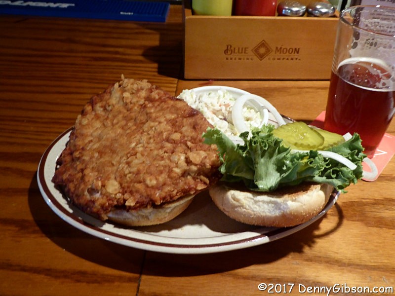
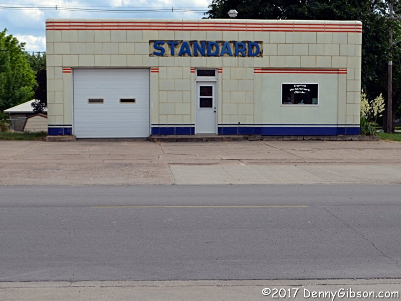
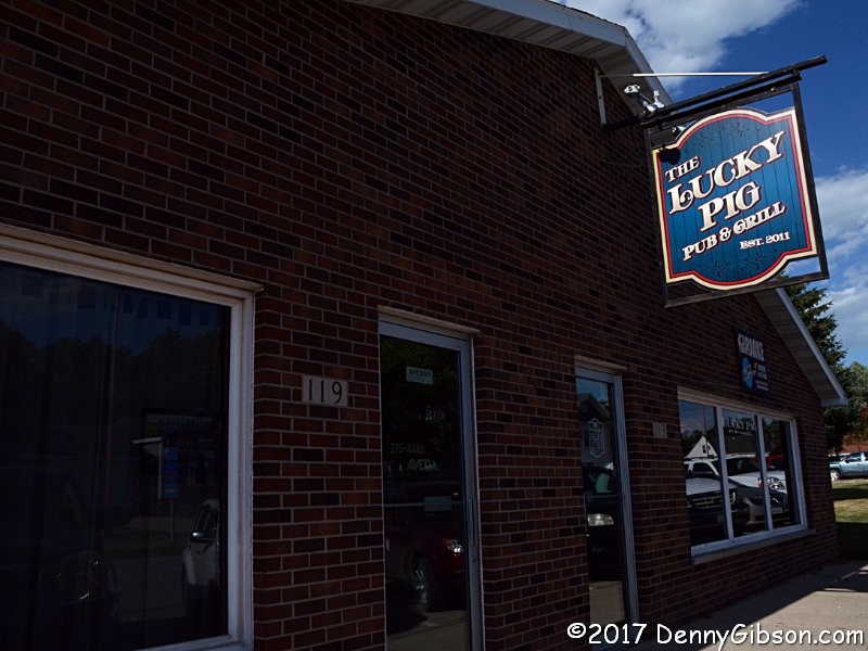 The Lucky Pig in Ogden is the most recent winner of some
ranking of breaded pork tenderloins in Iowa. Two of the conference
speakers had mentioned this so it was on my mind when I reached the town.
It's good. Really really good. But the one from the caterers at the
fairgrounds would get my vote. Too bad there's no place to get it on a
regular basis.
The Lucky Pig in Ogden is the most recent winner of some
ranking of breaded pork tenderloins in Iowa. Two of the conference
speakers had mentioned this so it was on my mind when I reached the town.
It's good. Really really good. But the one from the caterers at the
fairgrounds would get my vote. Too bad there's no place to get it on a
regular basis.
|
|
|

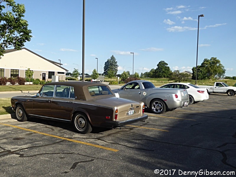
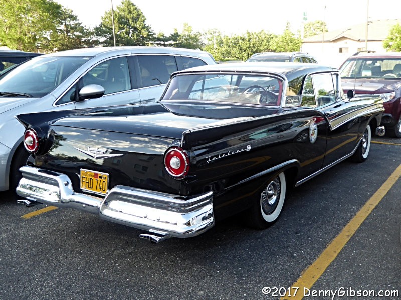 A LHA organized tour on the Jefferson Highway launched from Denison at the
end of the conference. I knew that the first overnight would be in Ames so
I stopped by. It was a short stop with quick snapshots of just a few of
the participating cars.
A LHA organized tour on the Jefferson Highway launched from Denison at the
end of the conference. I knew that the first overnight would be in Ames so
I stopped by. It was a short stop with quick snapshots of just a few of
the participating cars.
|
|
|

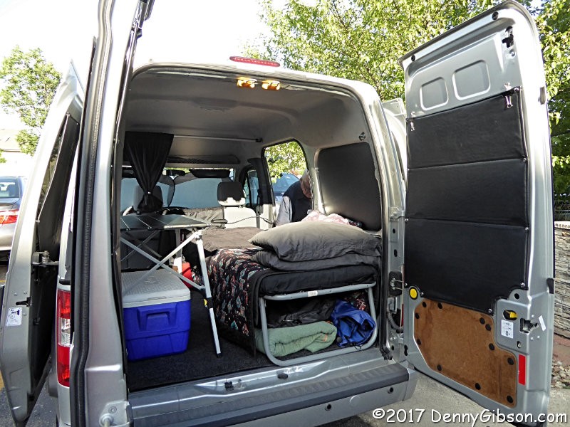 One reason I made the stop was to say Hi to Paul Gilger, the tour's guide,
who had not been at the conference. I also got to see Paul's new camper
which I have a story for.
One reason I made the stop was to say Hi to Paul Gilger, the tour's guide,
who had not been at the conference. I also got to see Paul's new camper
which I have a story for.
As the "conversion" of the Ford Transit progressed, Paul posted photos to Facebook. Another friend, Chery Eichar Jett, is also setting up a Ford Transit for camping. I was aware of both projects but one day photos of the two were intermixed in my Facebook feed and the similarities and differences really registered. Paul is deeply involved with mapping and other activities related to the Lincoln Highway. Chery is an author and lecturer deeply involved in Historic Route 66. Neither knew the other and would probably never meet "on the road" yet both were in the midst of very similar projects on nearly identical vehicles. I sent notes of introduction and they now happily compare cots, insulation, umbrellas, and more. |
|
|
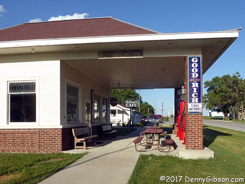
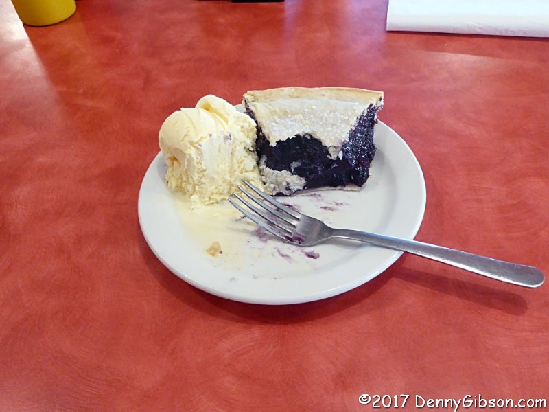
 The day's last stop was at Reed-Niland Corner where I snapped a few pictures,
including one of the proper marking of a path shared by the Lincoln and
Jefferson Highways, and ate some pie. I took a
picture of the blueberry ala mode despite not thinking of it before it was
half gone. Chatting with Sandi distracted me, you know?
The day's last stop was at Reed-Niland Corner where I snapped a few pictures,
including one of the proper marking of a path shared by the Lincoln and
Jefferson Highways, and ate some pie. I took a
picture of the blueberry ala mode despite not thinking of it before it was
half gone. Chatting with Sandi distracted me, you know?
|
|
|
| [Prev] [Site Home] [Trip Home] [Contact] [Next] |