Into Colorado
Comment via blog
Prev
Next


|
Day 5: June 12, 2014 Into Colorado Comment via blog |
Prev Next |
|
|
|
 Here's the short story on the Lincoln Highway in Colorado. It was not on
the 1913 Proclamation Route but was hastily added due to major protests
from the state's governor. It never really made sense and was quickly
dropped. Dropping it meant turning right rather than left at this
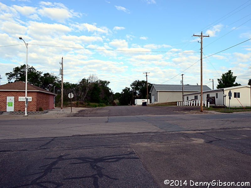
intersection in Big Springs, Nebraska. For some time there were
"dueling billboards" here touting the advantages of the two
routes. Today I turned left for the first time.
Here's the short story on the Lincoln Highway in Colorado. It was not on
the 1913 Proclamation Route but was hastily added due to major protests
from the state's governor. It never really made sense and was quickly
dropped. Dropping it meant turning right rather than left at this
intersection in Big Springs, Nebraska. For some time there were
"dueling billboards" here touting the advantages of the two
routes. Today I turned left for the first time.
|
|
|

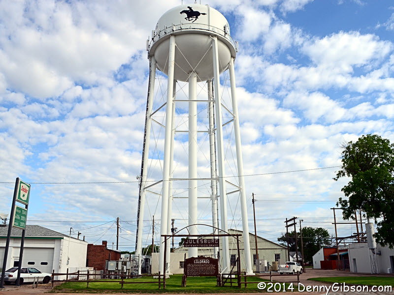
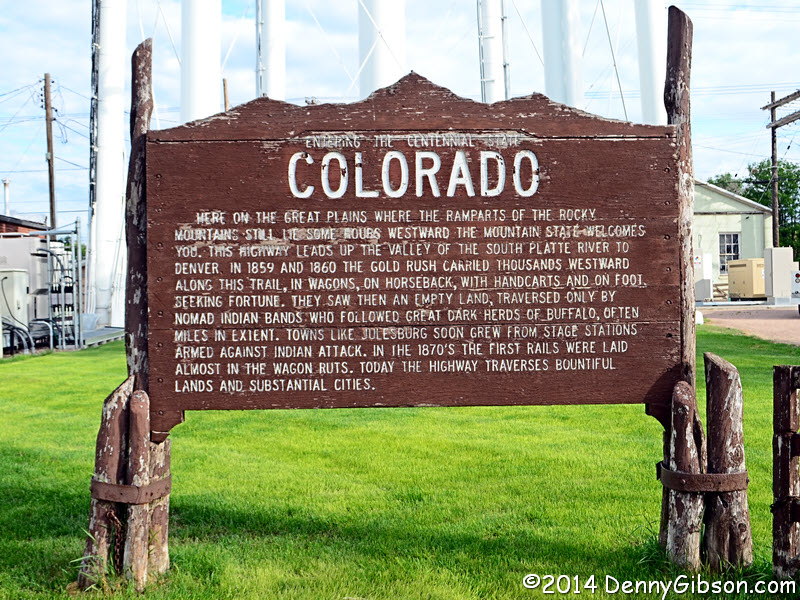 Julesburg, the first town in Colorado, does a nice job welcoming people to
the state.
Julesburg, the first town in Colorado, does a nice job welcoming people to
the state.
|
|
|
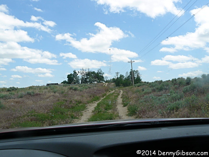
 I learned early on that I had issues with the GPS routing in this section.
Back in 1913, roads did not cut diagonally through the farm land as they
do now. Instead, they followed section lines in a stair-step pattern. In
this part of Colorado, many of those old roads still exist but haven't
been improved much since they truly carried the Lincoln Highway. Whether a
particular stretch is passable is in the eye of the beholder and may vary
from day to day. The GPS issues came from it wanting to avoid something I
wanted to drive. I pulled out Lee & Jane Whiteley's excellent The
Lincoln Highway in Colorado and used a combination of the book, the,
GPS, and my own judgment to determine my path. In the end, I believe I
covered almost all of the route as described by the Whiteleys.
I learned early on that I had issues with the GPS routing in this section.
Back in 1913, roads did not cut diagonally through the farm land as they
do now. Instead, they followed section lines in a stair-step pattern. In
this part of Colorado, many of those old roads still exist but haven't
been improved much since they truly carried the Lincoln Highway. Whether a
particular stretch is passable is in the eye of the beholder and may vary
from day to day. The GPS issues came from it wanting to avoid something I
wanted to drive. I pulled out Lee & Jane Whiteley's excellent The
Lincoln Highway in Colorado and used a combination of the book, the,
GPS, and my own judgment to determine my path. In the end, I believe I
covered almost all of the route as described by the Whiteleys.
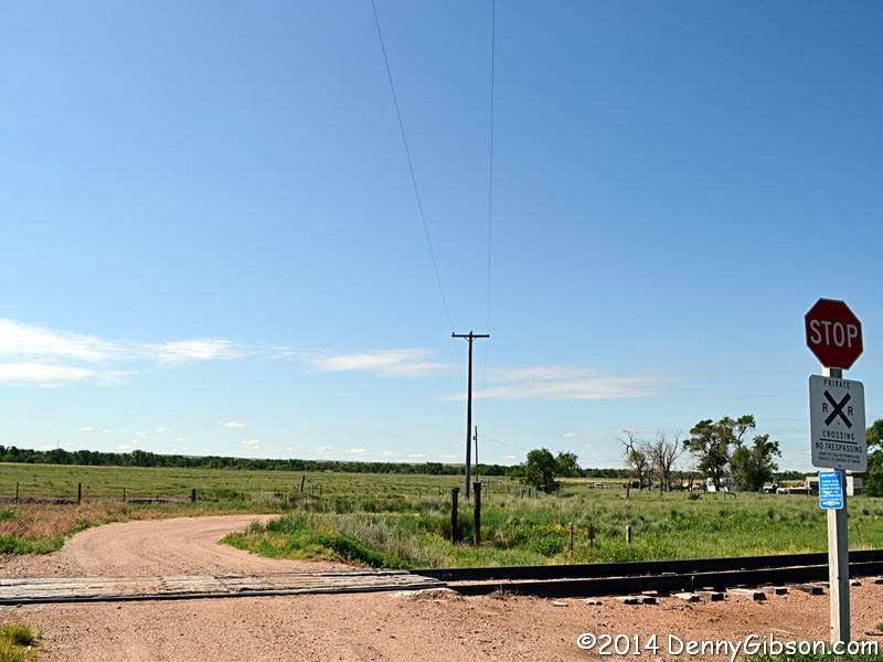
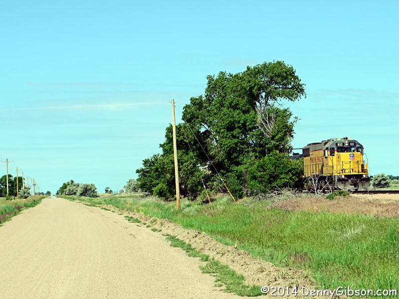
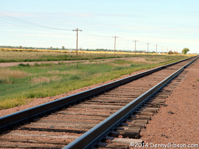
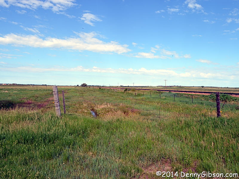
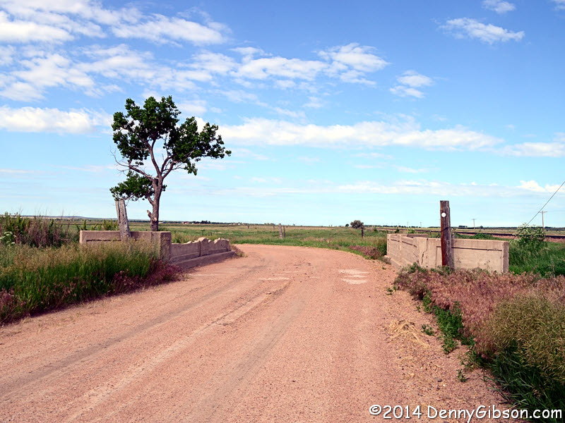
The road originally went straight beyond the bridge in the second picture but now curves left. The next picture attempts to show that but empty roadbed is much easier to see on the ground than in photos. The one time Union Pacific track and Lincoln Highway dirt probably looked a lot like the next picture back in 1913 although the machines that use them have changed considerably. The last picture is of the east end of the mile or so of Lincoln Highway that I did not drive. It was marked as private property and I decided it wasn't worth trespassing or seeking permission. |
|
|

 The Whiteleys did their guide in 2007 and reported that Bill's Motor
Company, in Sterling, "has been in business since the 1920s".
It's closed now although neither of the employees I spoke with at the
restaurant that now occupies the building knew when and they weren't
really sure how long the restaurant had been there other than "at
least two years".
The Whiteleys did their guide in 2007 and reported that Bill's Motor
Company, in Sterling, "has been in business since the 1920s".
It's closed now although neither of the employees I spoke with at the
restaurant that now occupies the building knew when and they weren't
really sure how long the restaurant had been there other than "at
least two years".
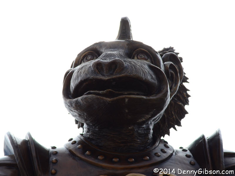
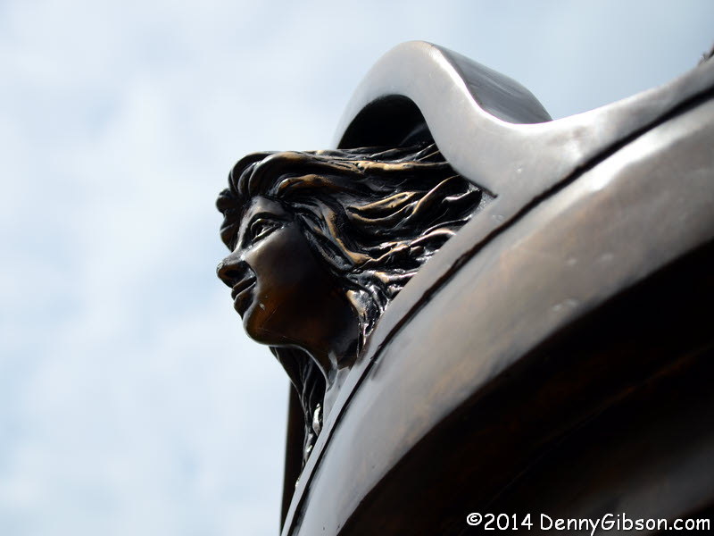
To make up for the lack of a decades old car dealership, I'm tossing in a picture of the nearby Dream Redeemer which Roadside America described as a "steampunk flying monkey". I kind of like it and offer these views of some details: A B C |
|
|
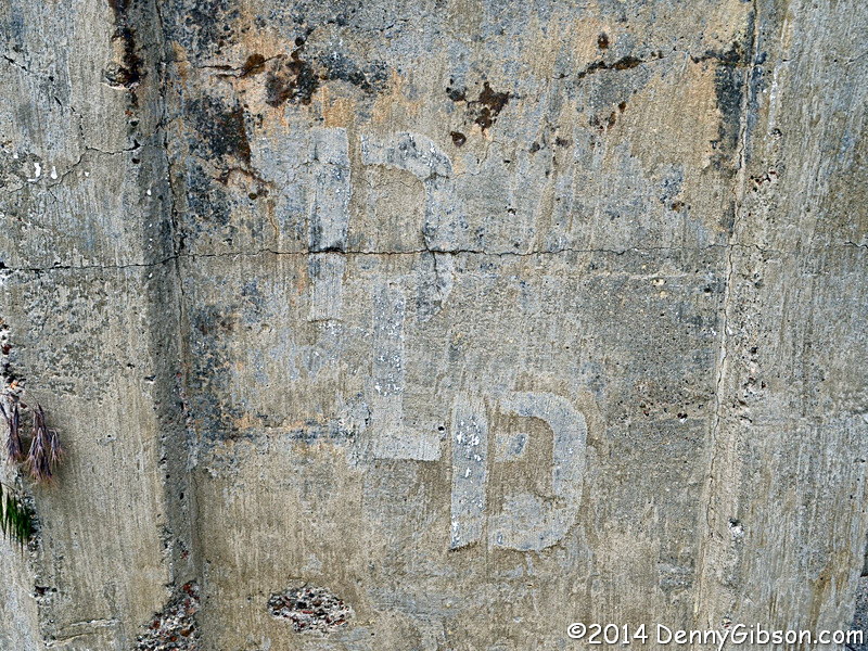
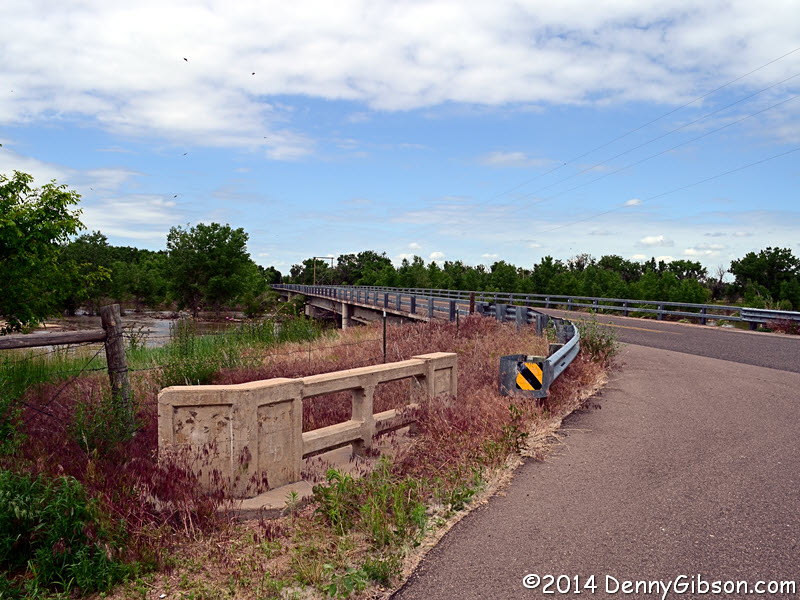
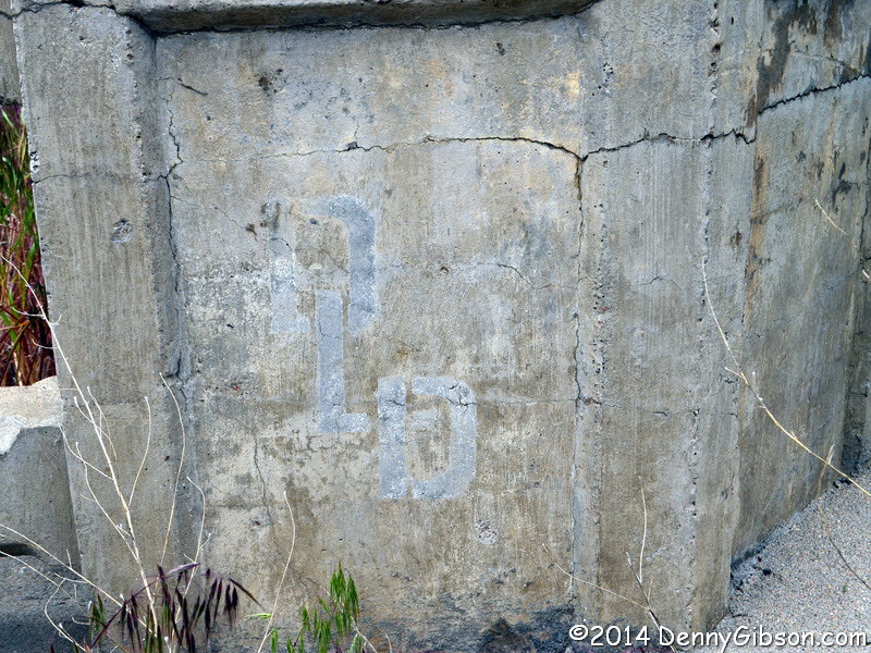
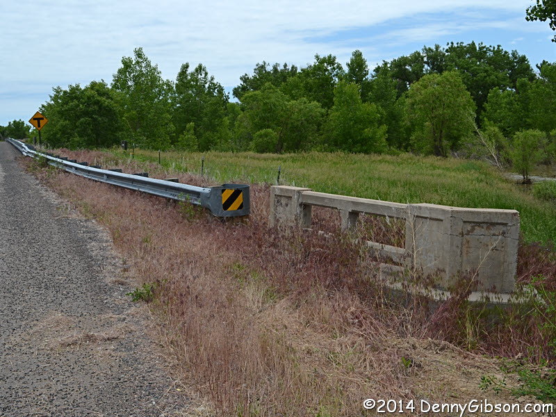 The bridge has been replaced but the abutments, with the DLD of the
Denver-Lincoln-Detroit Highway still visible, remain at the site.
The bridge has been replaced but the abutments, with the DLD of the
Denver-Lincoln-Detroit Highway still visible, remain at the site.
|
|
|
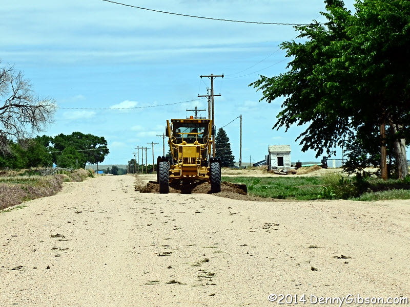 I even got to witness a little road maintenance during my drive.
|
|
|
 This Fort Morgan intersection is another dividing point. The real Colorado
Loop of the Lincoln Highway went off to the left while a fake, or at least
unofficial, branch turned right. I'll be back here tomorrow.
This Fort Morgan intersection is another dividing point. The real Colorado
Loop of the Lincoln Highway went off to the left while a fake, or at least
unofficial, branch turned right. I'll be back here tomorrow.
|
|
|

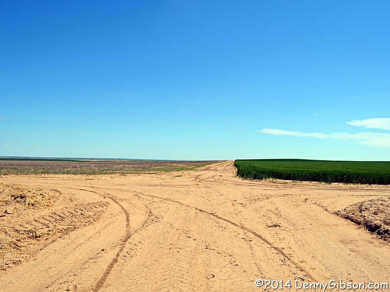
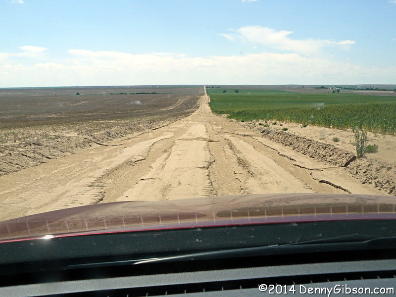 The first picture was taken while I made a decision. The Whiteleys
describe this as the route of the LH but report it as being
"on private land". But there were no signs and the GPS was
routing me through it so I went with the GPS. It was a true two-track but
there were no problems. I've included the intersection picture to
illustrate a couple of points, both based on the fact that there are no
signs at the intersection. First, the absence of stop or yield signs means
you won't get ticketed for rolling through but you might get T-boned.
Second, I needed to turn here. The absence of any sort of identity
markings means you best be tracking your mileage if you want the follow
the Whiteleys or someone else's directions. The last picture is of Denver's
(I assume) 160th Avenue and I've included it mostly because of that. I got
a chuckle out of the name since it was the longest stretch of consistently
rough road I've encountered so far on this trip.
The first picture was taken while I made a decision. The Whiteleys
describe this as the route of the LH but report it as being
"on private land". But there were no signs and the GPS was
routing me through it so I went with the GPS. It was a true two-track but
there were no problems. I've included the intersection picture to
illustrate a couple of points, both based on the fact that there are no
signs at the intersection. First, the absence of stop or yield signs means
you won't get ticketed for rolling through but you might get T-boned.
Second, I needed to turn here. The absence of any sort of identity
markings means you best be tracking your mileage if you want the follow
the Whiteleys or someone else's directions. The last picture is of Denver's
(I assume) 160th Avenue and I've included it mostly because of that. I got
a chuckle out of the name since it was the longest stretch of consistently
rough road I've encountered so far on this trip.
|
|
|
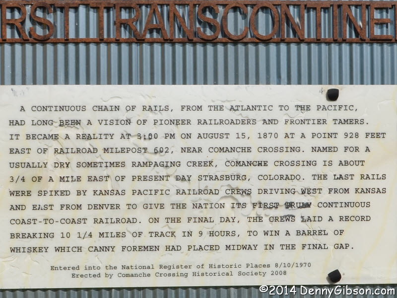
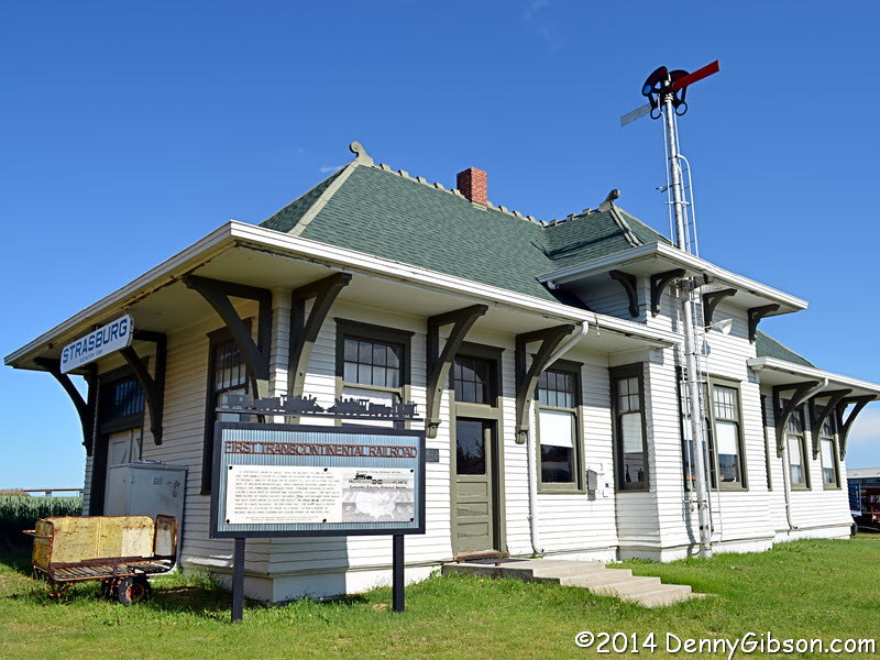 A couple of days ago I saw a golden spike at the Union Pacific Museum in
Council Bluffs and I'm planning on visiting Promontory Summit following
the conference so I didn't hesitate at all in go a few miles off route
when something called "Where the Transcontinental Railroad Actually
Met" appeared on my GPS. It appeared courtesy of Roadside America and
was something like five miles from where I would be spending the night.
The sign basically debunks the whole
Promontory Summit thing but not many are paying attention. When I checked
the Roadside America website at the end of the day, I read
about a concrete pylon that is also in Strasburg but I missed that.
A couple of days ago I saw a golden spike at the Union Pacific Museum in
Council Bluffs and I'm planning on visiting Promontory Summit following
the conference so I didn't hesitate at all in go a few miles off route
when something called "Where the Transcontinental Railroad Actually
Met" appeared on my GPS. It appeared courtesy of Roadside America and
was something like five miles from where I would be spending the night.
The sign basically debunks the whole
Promontory Summit thing but not many are paying attention. When I checked
the Roadside America website at the end of the day, I read
about a concrete pylon that is also in Strasburg but I missed that.
|
|
|
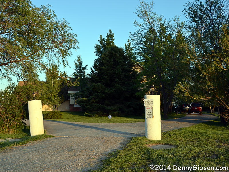
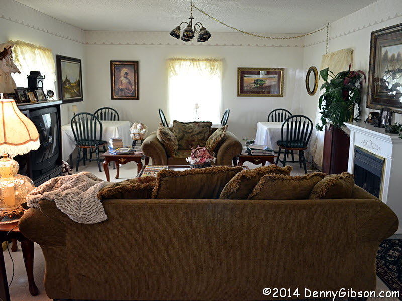
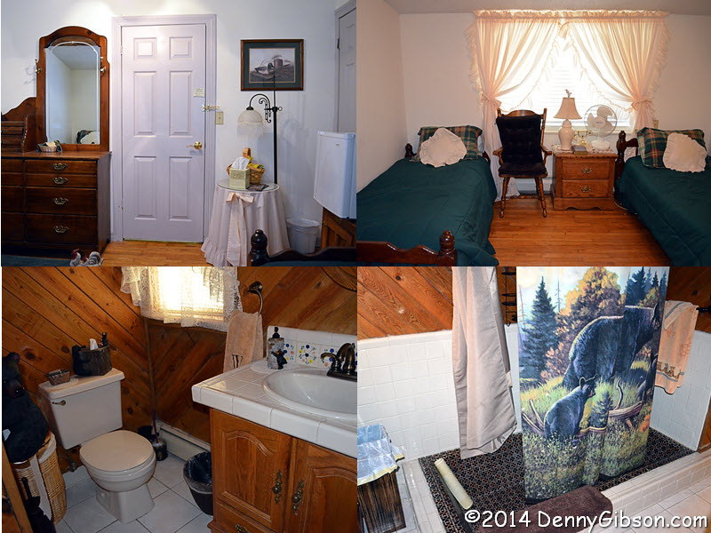
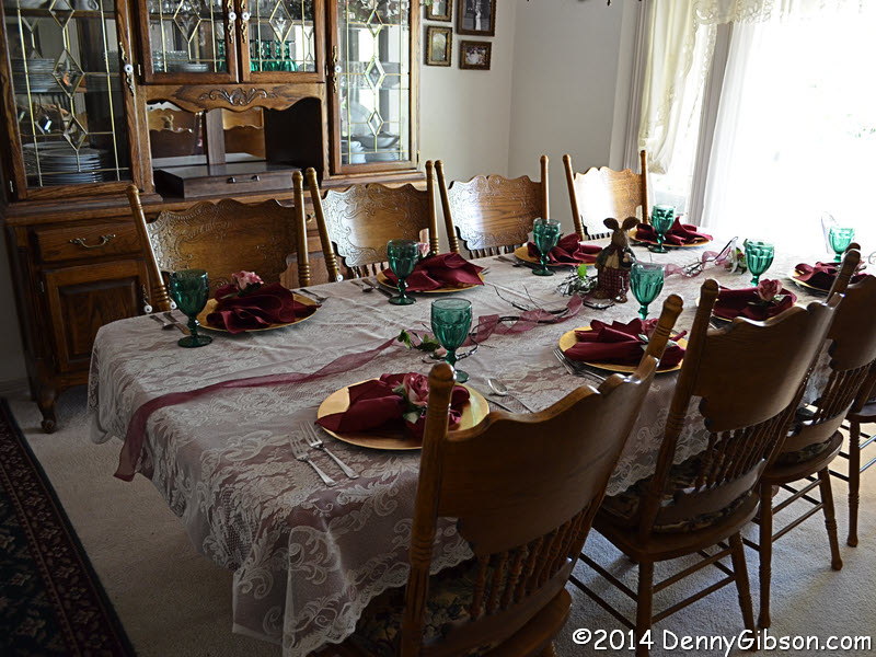 Trees and cars interfered with me getting any good exterior photos of my
home for the night but their website,
Willow Tree Country
Inn, has a good one. I've tried to compensate by posting a couple
shots of the public areas plus, of course,
my room. This place is actually a DB&B
(dinner, bed, and breakfast) and everything about it was wonderful.
Trees and cars interfered with me getting any good exterior photos of my
home for the night but their website,
Willow Tree Country
Inn, has a good one. I've tried to compensate by posting a couple
shots of the public areas plus, of course,
my room. This place is actually a DB&B
(dinner, bed, and breakfast) and everything about it was wonderful.
|
|
|
| [Prev] [Site Home] [Trip Home] [Next] |