A Peek at the PP-OO
Prev
Next
|
Day 4: September 3, 2007 A Peek at the PP-OO |
Prev Next |
|
|
 In the days of named auto trails, the Pikes Peak Ocean to Ocean Highway
entered Ohio either fifteen or twenty miles north of Wheeling. Those two
numbers come from the two different alignments that the highway followed
in this area. Several alignment changes were made during the highway's
short life and, in addition to its official description as "The
Apian Way of America", it was also known as "a highway that
couldn't make up its mind". Today was spent driving the two PP-OO
alignments between the Ohio border and the town of Hopedale. As a result,
this page contains a lot more "road" than "trip" so
some may want to skip it. Go ahead. I'll understand.
In the days of named auto trails, the Pikes Peak Ocean to Ocean Highway
entered Ohio either fifteen or twenty miles north of Wheeling. Those two
numbers come from the two different alignments that the highway followed
in this area. Several alignment changes were made during the highway's
short life and, in addition to its official description as "The
Apian Way of America", it was also known as "a highway that
couldn't make up its mind". Today was spent driving the two PP-OO
alignments between the Ohio border and the town of Hopedale. As a result,
this page contains a lot more "road" than "trip" so
some may want to skip it. Go ahead. I'll understand.
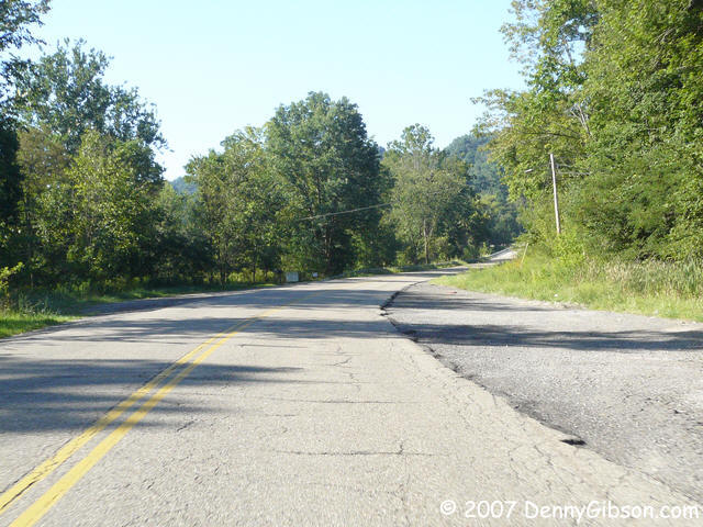
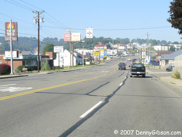
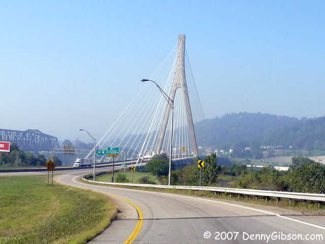
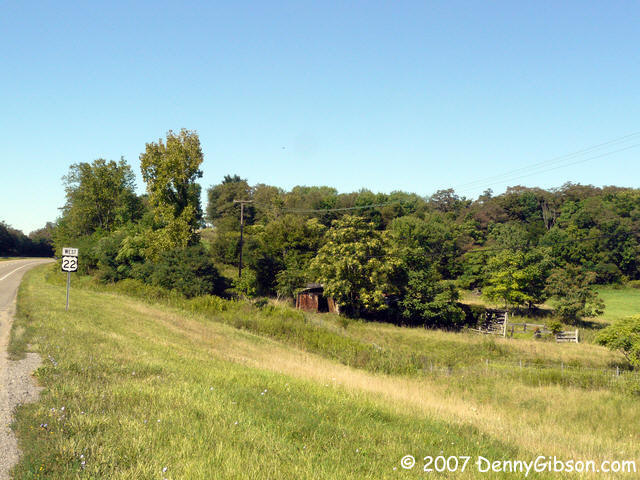
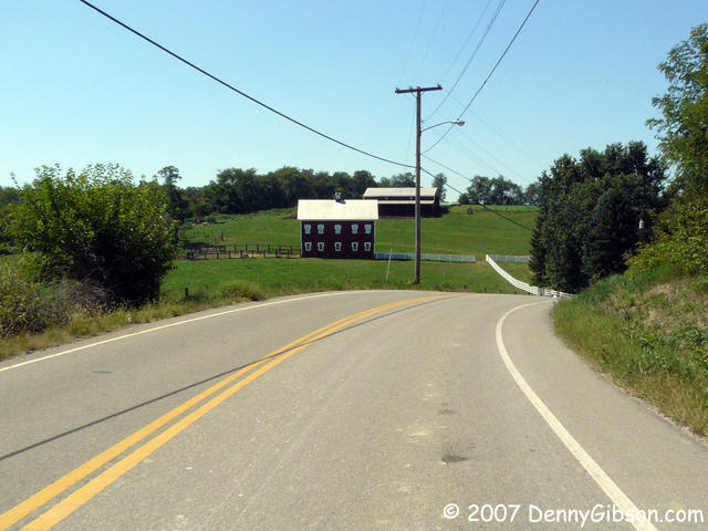
Initially, the PP-OO entered Ohio in company with the National Old Trails Road which incorporated the National Road's path through Wheeling. When it first moved off on its own, it crossed the Ohio River at Steubenville. At the end of its life, the PP-OO was crossing the river at Georges Run. I started the day with the Steubenville alignment. I had spent Sunday night in a motel on this alignment just a few miles from the river. I could have reached its Ohio starting point with almost no effort or could have simply headed west from the motel without missing anything significant. Instead, I drove into West Virginia just so I could come back. Silly, I know, but it gives me an excuse to include a picture of the cable stayed bridge on US-22. The second picture is of OH-43/Sunset Boulevard through Steubenville. Of course, it could be a franchise lined street in just about any other town, too. Things remain cityfied and mostly four-lane through Wintersville. Then, when most traffic merges onto the new US-22, the more discerning traveler veers south to freedom and two-lane roadway. The move here is essentially to stay on county 22A which is the old US-22. The road is quite pleasant as it moves north of US-22 then back to the south side to pass through Bloomingdale. |
|
|
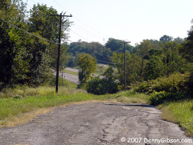
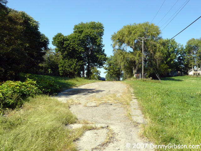
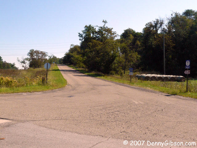
 A surprise came when I prepared to cross Twenty-Two again and both the GPS
and my eyes said no. (WARNING - If that road vs. trip comment in the first
paragraph caused you to consider avoiding this page, now's the time.) The
software I had used to plan the route (DeLorme Street Atlas 2008) showed a
continuation on the other side. The GPS (Garmin Quest) steered me onto the
big four-lane. On site observation favored Garmin.
A surprise came when I prepared to cross Twenty-Two again and both the GPS
and my eyes said no. (WARNING - If that road vs. trip comment in the first
paragraph caused you to consider avoiding this page, now's the time.) The
software I had used to plan the route (DeLorme Street Atlas 2008) showed a
continuation on the other side. The GPS (Garmin Quest) steered me onto the
big four-lane. On site observation favored Garmin.
But all agreed that what would have been the return crossover did exist and I could visit the other side of the gap. The first picture is facing east at the west end of the dead-end segment. (For the seriously curious, I've included a Google Earth overview with this marked as Point 1. The next two pictures are from the east end of the segment (Point 2) facing east and then west. The next picture is back at the south side of US-22 looking east along County Road 22A (Point 3) and the last was taken from the north side of US-22 (Point 4) looking toward the eastern end of the dead-end. In hind sight, I wish I had studied and photographed the area directly west of the end of CR-22A (Point 3) but... The Pike Tavern sits on CR-22A just a short distance east of this intersection but it is closed on Mondays so I couldn't ask about the origin of the name - or get a cold beer. I'll do both someday. |
|
|

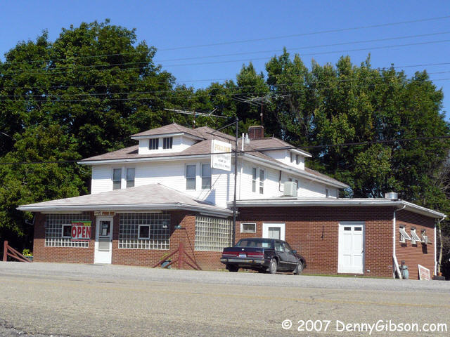
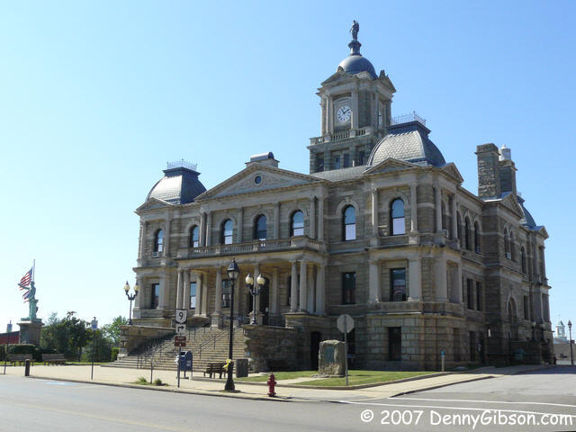 I eventually moved on and followed the road right up to the Harrison County
Courthouse in Cadiz. I believe this is the first courthouse that I've been
able to photograph without some (or a bunch of) overhead cables cluttering
the view. It's also the first - and only - courthouse with an "Arkansas
Traveler" marker in the yard. "The Arkansas Traveler" was
a nickname used by comedian
Bob Burns. Burns was born in Van Buren, AR,
and quite proud of his small
town origin. Apparently he made an accounting of similar sized towns that had
produced well known persons and Cadiz, Ohio, topped the list. The marker
is dated 1938 with George Custer and Clark Gable among the well known locals.
I eventually moved on and followed the road right up to the Harrison County
Courthouse in Cadiz. I believe this is the first courthouse that I've been
able to photograph without some (or a bunch of) overhead cables cluttering
the view. It's also the first - and only - courthouse with an "Arkansas
Traveler" marker in the yard. "The Arkansas Traveler" was
a nickname used by comedian
Bob Burns. Burns was born in Van Buren, AR,
and quite proud of his small
town origin. Apparently he made an accounting of similar sized towns that had
produced well known persons and Cadiz, Ohio, topped the list. The marker
is dated 1938 with George Custer and Clark Gable among the well known locals.
|
|
|
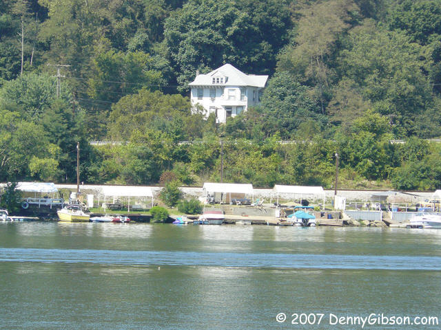 From the courthouse in Cadiz I took the fast route all the way to Wellsburg,
WV. This was where the final Pikes Peak Ocean to Ocean routing crossed
the Ohio. Toward the end of the era of named highways, the PP-OO tried to
become a sort of express route by bypassing big cities and their congestion.
In this instance, it exchanged a bridge to Steubenville for a ferry to
Brilliant. I guess it seemed like a good decision at the time. The first
picture is of Wellsburg's 8th Street ending at the river and the second is
of the Ohio shore directly across from it. According to the notes of Dr.
Harold Meeks published by Anna Clark, this was the ferry landing.
From the courthouse in Cadiz I took the fast route all the way to Wellsburg,
WV. This was where the final Pikes Peak Ocean to Ocean routing crossed
the Ohio. Toward the end of the era of named highways, the PP-OO tried to
become a sort of express route by bypassing big cities and their congestion.
In this instance, it exchanged a bridge to Steubenville for a ferry to
Brilliant. I guess it seemed like a good decision at the time. The first
picture is of Wellsburg's 8th Street ending at the river and the second is
of the Ohio shore directly across from it. According to the notes of Dr.
Harold Meeks published by Anna Clark, this was the ferry landing.
|
|
|

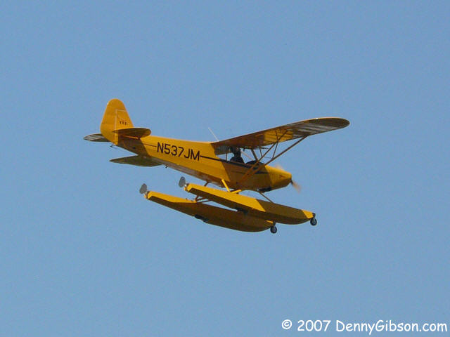
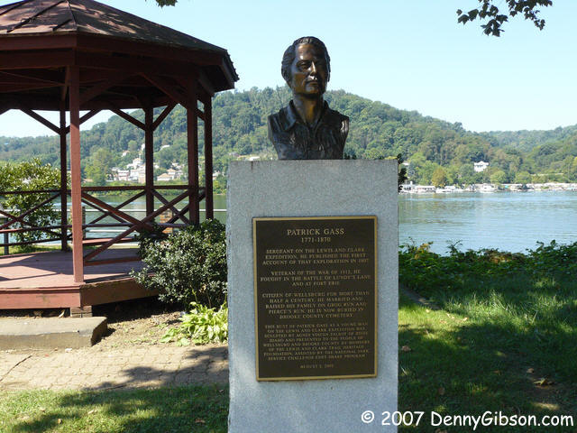
 I strolled around the area and took a few more pictures of things like the
town square and the bust of Patrick Gass. After serving as sergeant on the
Lewis and Clark expedition (He was elected to replace Charles Floyd.),
Gass lived out his 99 years in Wellsburg. He was the last living member of
the expedition. When I heard the sound of an approaching engine, I looked up
to see a pontoon shod airplane overhead. I overheard two passing boys comment
that it was some fellow who "lived on the docks" but they were
gone before I could get any details.
I strolled around the area and took a few more pictures of things like the
town square and the bust of Patrick Gass. After serving as sergeant on the
Lewis and Clark expedition (He was elected to replace Charles Floyd.),
Gass lived out his 99 years in Wellsburg. He was the last living member of
the expedition. When I heard the sound of an approaching engine, I looked up
to see a pontoon shod airplane overhead. I overheard two passing boys comment
that it was some fellow who "lived on the docks" but they were
gone before I could get any details.
|
|
|
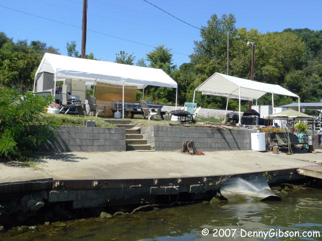 Next it was the shortest path (five miles up stream to the Market Street
Bridge) to Brilliant. The 4-and-more-lane OH-7 has pretty much taken over
north-south travel through here and it's hard to tell what once was. Maybe
the ferry landed at what is now the Brilliant Boat Club.
Next it was the shortest path (five miles up stream to the Market Street
Bridge) to Brilliant. The 4-and-more-lane OH-7 has pretty much taken over
north-south travel through here and it's hard to tell what once was. Maybe
the ferry landed at what is now the Brilliant Boat Club.
|
|
|
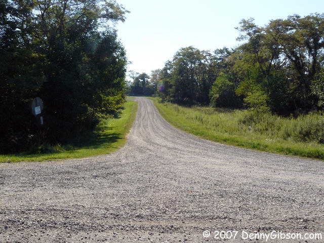
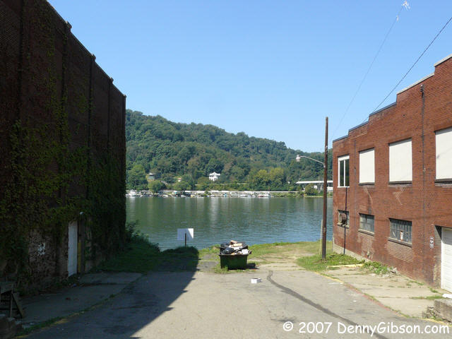
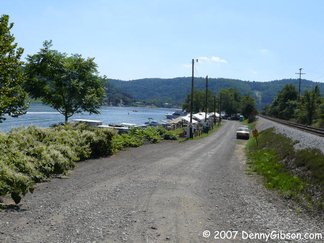
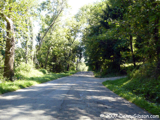
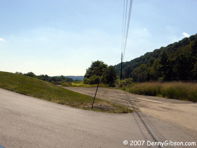 In Georges Run, I followed the old road south as far as it went. Anything beyond that
gravel dead-end, is probably buried under OH-7. The second picture is facing
away from the dead-end.
In Georges Run, I followed the old road south as far as it went. Anything beyond that
gravel dead-end, is probably buried under OH-7. The second picture is facing
away from the dead-end.
|
|
|
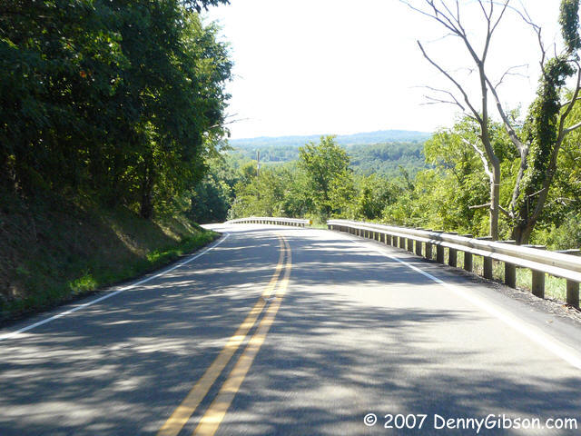
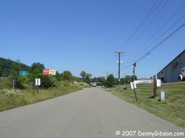
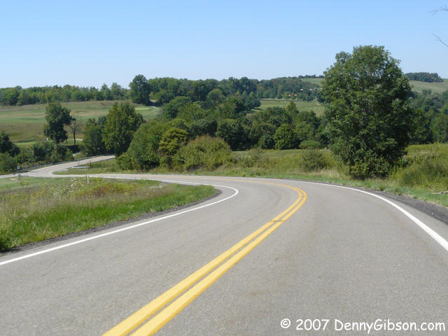 Strip mining and at least one lake have altered the landscape here. It's
possible that some research and a bit of exploring would turn up some old
roadway but I took the easy way today. The easy way, OH-151, certainly
follows much of the PP-OO route and it is an extremely pleasant and comfortable
drive. No wild scenery or hairpin turns but today that was OK.
Strip mining and at least one lake have altered the landscape here. It's
possible that some research and a bit of exploring would turn up some old
roadway but I took the easy way today. The easy way, OH-151, certainly
follows much of the PP-OO route and it is an extremely pleasant and comfortable
drive. No wild scenery or hairpin turns but today that was OK.
|
|
|
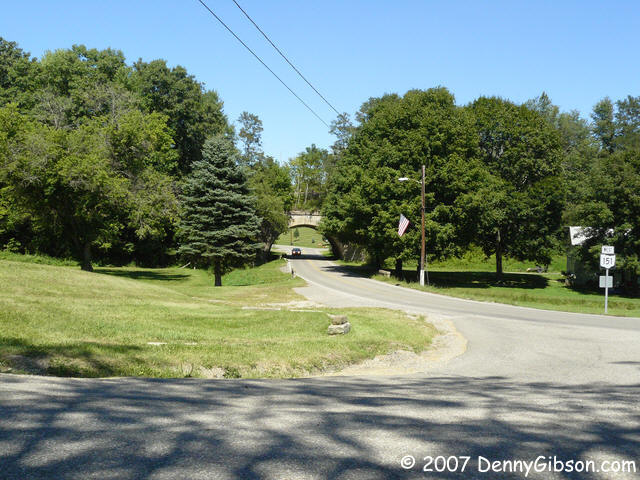
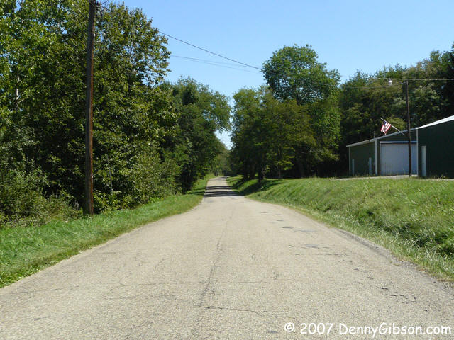 I know that the later PP-OO alignment entered Hopedale to connect with the
earlier one but I theorized that a straighter path named Rabbit Road might
have been a later improvement. Maybe it was but it didn't seem to catch on.
The best maintained route is OH-151 and Main Street. These pictures are from
Rabbit Road with the last one showing the connection with OH-151 and a
railroad underpass on the state route.
I know that the later PP-OO alignment entered Hopedale to connect with the
earlier one but I theorized that a straighter path named Rabbit Road might
have been a later improvement. Maybe it was but it didn't seem to catch on.
The best maintained route is OH-151 and Main Street. These pictures are from
Rabbit Road with the last one showing the connection with OH-151 and a
railroad underpass on the state route.
|
|
|
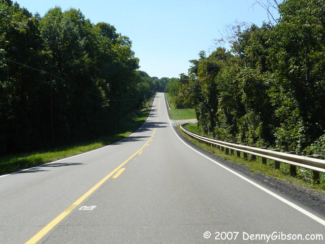
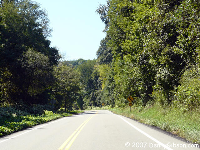
 From Hopedale I headed directly to US-22 and followed it to I-70 near Zanesville.
I haven't been on this part of Twenty-Two in many years and it was a pleasant
surprise. With so much of the route being "upgraded" to multiple
lanes this well maintained and rather pretty two-lane made for a relaxing
drive. A group of what I believe were Model A Fords passed by but I was too
slow to catch any but the last one. Even that one I didn't catch all that well
but I'm posting it anyway.
From Hopedale I headed directly to US-22 and followed it to I-70 near Zanesville.
I haven't been on this part of Twenty-Two in many years and it was a pleasant
surprise. With so much of the route being "upgraded" to multiple
lanes this well maintained and rather pretty two-lane made for a relaxing
drive. A group of what I believe were Model A Fords passed by but I was too
slow to catch any but the last one. Even that one I didn't catch all that well
but I'm posting it anyway.
|
|
|
| [Prev] [Site Home] [Trip Home] [Contact] [Next] |