 I know I can’t do this forever, but I let the Facebook crowd steer me to another blog post this week. This one is somewhat different in that it doesn’t involve something new to me but some things I’d seen multiple times in the past that I was due for a refresher on. Back in 2006, I did Oddment pages on two dams that altered the path of the National Road north of Dayton, Ohio. Those pages are here, for the Taylorsville Dam, and here, for the Englewood Dam. The next year, I wrote an article for American Road Magazine (Vol V Num 3) that talked about both dams. The name of this post comes from the name of that article.
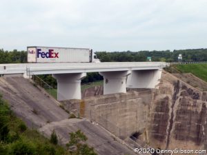
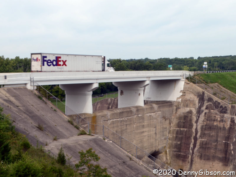
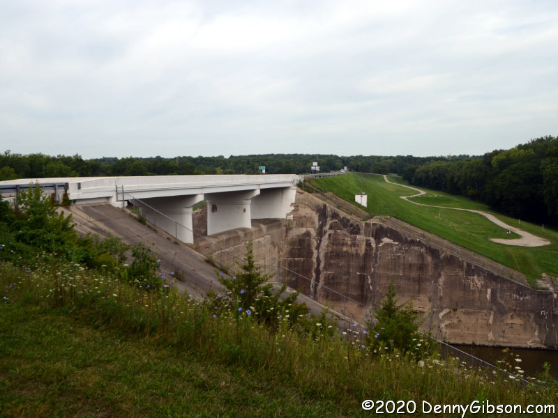
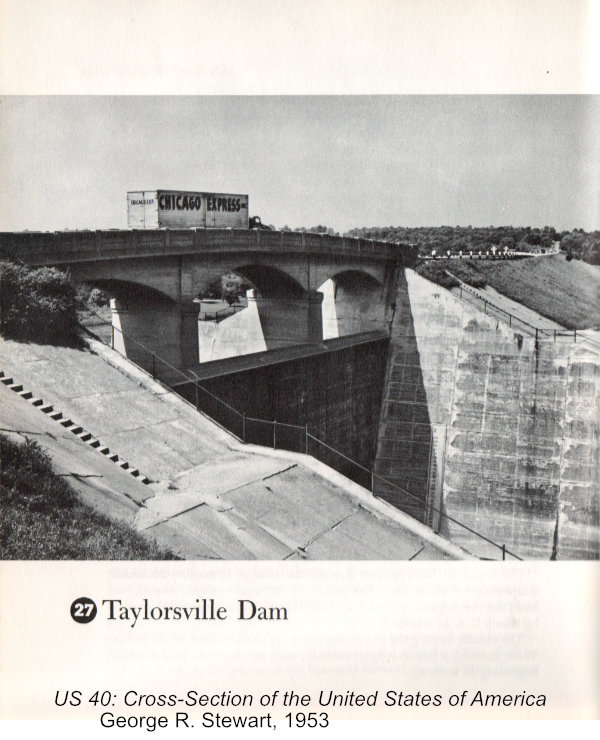
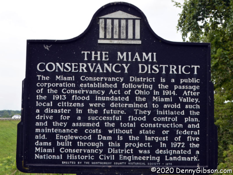
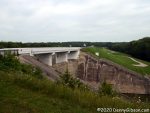 The first photo at left shows the easternmost edge of the easternmost dent. The road runs south for about a mile and a half before turning west to cross the mile-long dam then turning north to rejoin the original route. The dam is shown in the opening photo, which some will recognize as my attempt to reproduce George R. Stewart’s Photo #27 from 1953’s US 40: Cross-Section of the United States of America. Stewart’s photo and my “update” concentrate on the spillway and the bridge that crosses it. More of the massive earthen dam can be seen in the picture at left. The dams were completed in 1922 in response to the horrific 1913 flood. At that time, this was still known as the National Road. It would become US-40 in 1926. The 1953 and 2020 photos show some differences in the bridge itself due to a 1979 rehabilitation. The National Old Trails Road, a continent crossing named auto trail that existed from 1912 to 1926 never crossed these dams since the NOTR followed the “Dayton Cutoff” south through Dayton and Eaton.
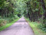
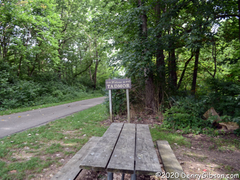
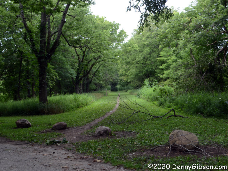
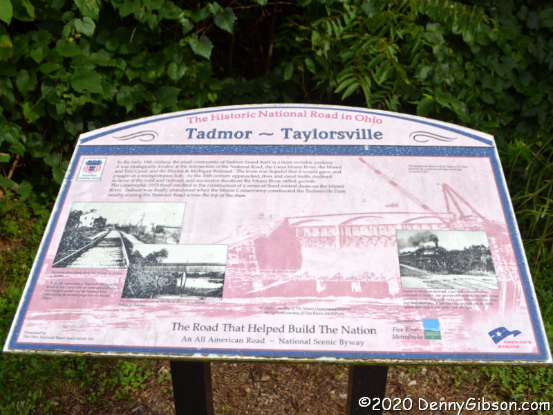
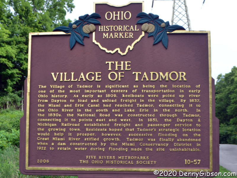
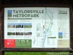 There is a small paved area at the east end of the Taylorsville Dam where I parked to photograph it. On the west end, there is an actual park area with considerably more parking space and several informative signs including one from the Ohio National Road Association on Tadmor and Taylorsville. A section of the extensive Miami Vally Trails system passes through here and makes it easy to get to the former location of the town of Tadmor about 1.3 miles away.

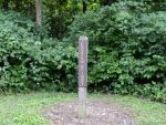
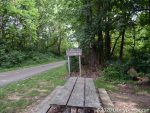
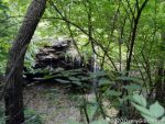
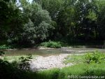
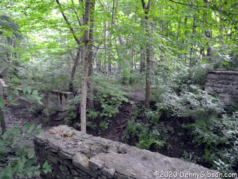
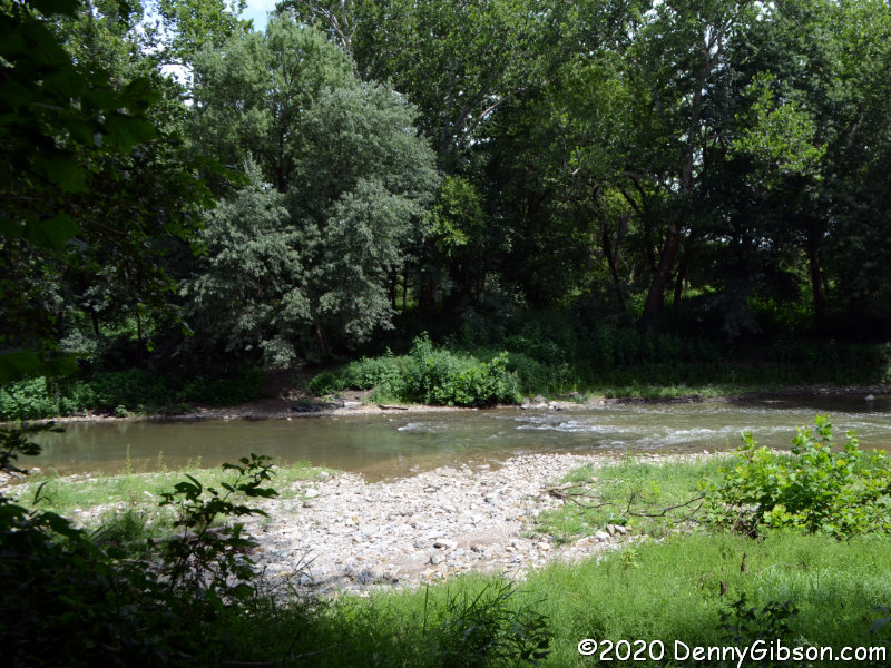
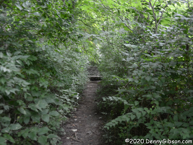
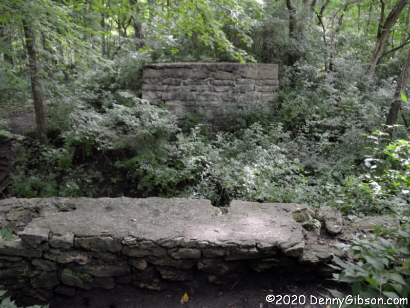
 The first of these pictures was taken looking back to the south after I’d strolled beyond Tadmor. I have been to the site since the dual purpose plaque (readable here and here) was placed but there are more labeled posts than I remember. Another difference is the rather impenetrable growth between the path and the river. There is a narrow path next to the previously pictured Tadmor sign that leads directly to the abutments of a short bridge that crossed the canal. Because of the growth and my aging sense of adventure, I did not go beyond this today as I did in 2006. The third picture shows a wall of the canal sluice gate with the canal bridge abutments in the foreground.
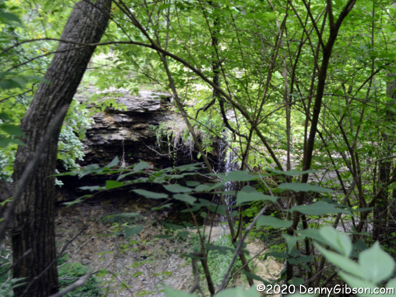
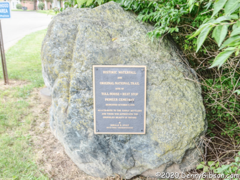
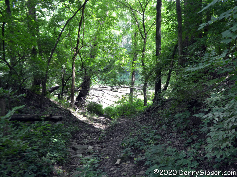
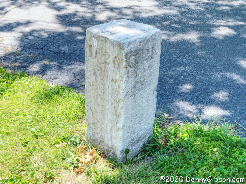
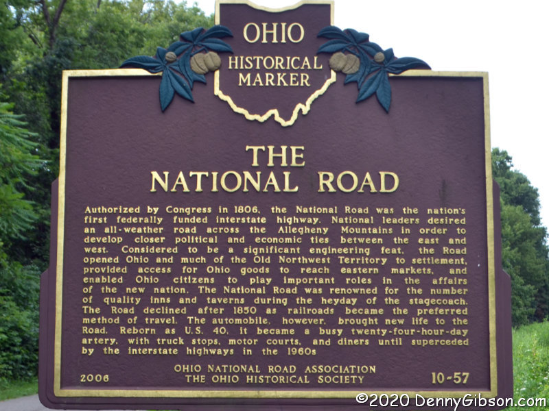
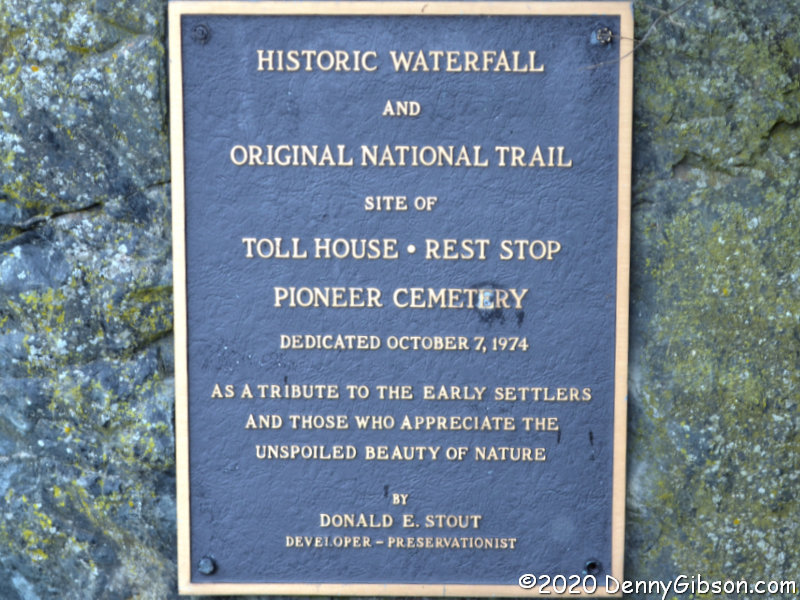
 The rules called for the National Road to follow a straight line to the capital city Columbus with no grade greater than 10%. At Tadmor, following both of these rules in the early 19th century was impossible and it was the straight-line rule that lost. The road turned to the south on the west bank of the Great Miami and curved around a large hill. The grade, though not as bad as climbing the hill, still gave westbound travelers and their animals quite a workout. A spring near the top was certainly a welcome sight. The spring can be reached by heading east a bit where US 40 picks up the original path of the National Road. Although it’s not easy getting a clear view of the spring-fed waterfall, it is pretty easy imagining how refreshing it was to a team of horses dragging a Conestoga wagon up from the riverbank. A less blown-out version of the plaque is here.

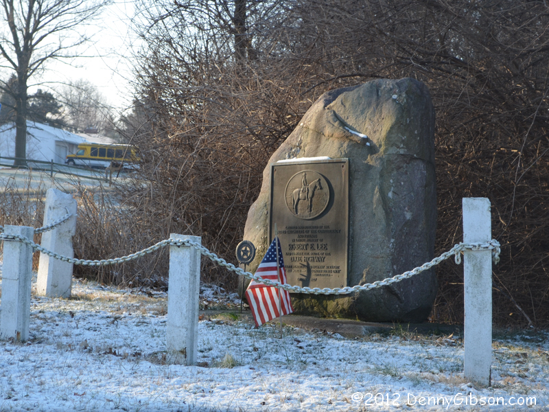
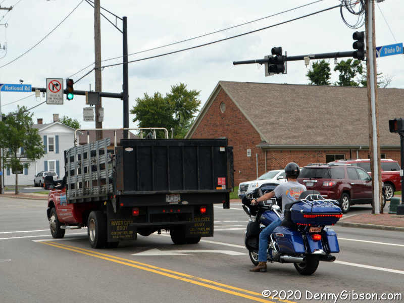
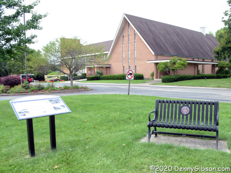
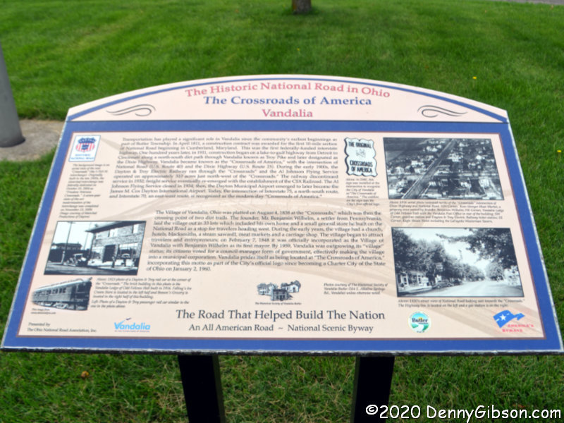
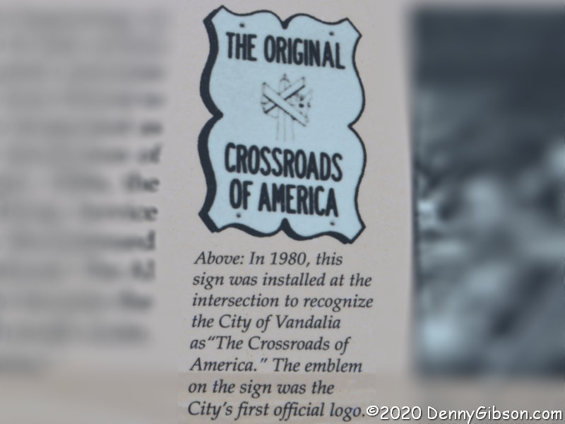
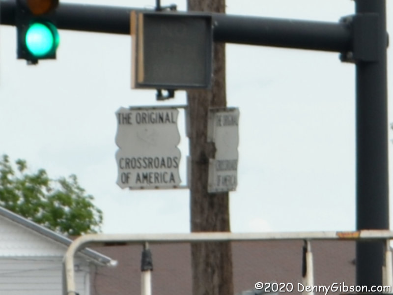
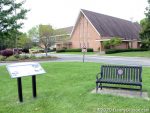 An intersection between the dents has a legitimate claim on the Crossroads of America. In the days before US Numbered Highways, the National Road and the Dixie Highway crossed here. With the coming of numbers, the crossing routes became US-40 and US-25. A fair amount of traffic still passes through the intersection today though not nearly as much as through the nearby intersections of the successors to these routes, I-75 and I-70. The memorial bench and explanatory sign are just west of the intersection. A detail lifted from the sign explains a detail lifted from the photo of the intersection.
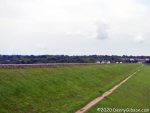
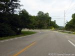
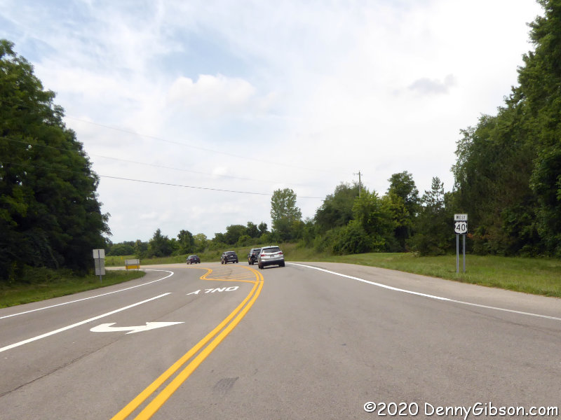
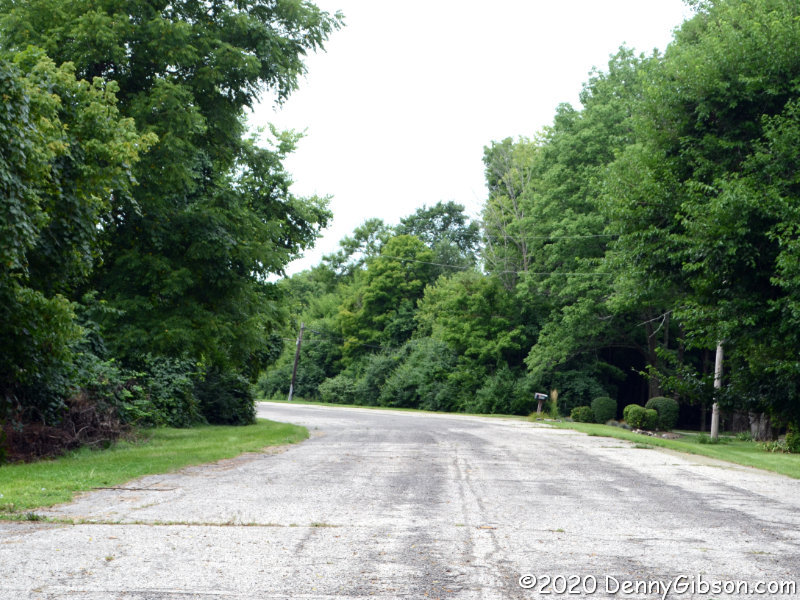
 Continuing west, I came to the beginning of the second dent. Behind those trees on the right is a bypassed earlier curve which I slipped onto for a photograph. The entrance to the eastern portion of Engelwood Metropark is right at the eastern end of the dam. There is parking space for several cars and that is where I paused to photograph the dam and explanatory sign.
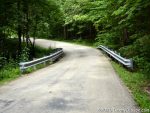

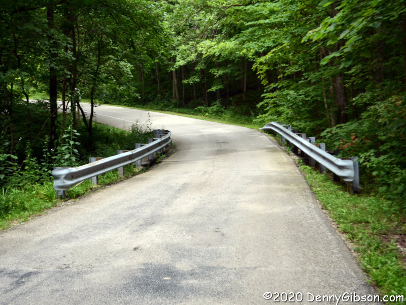
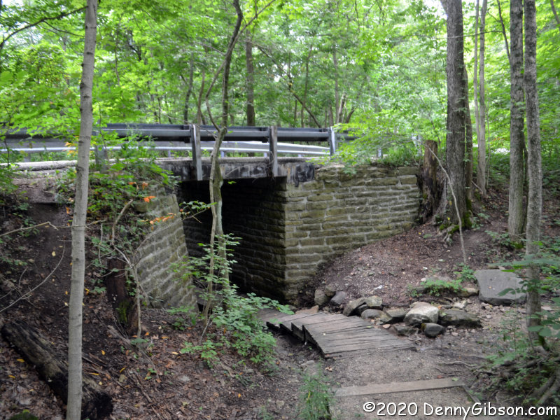
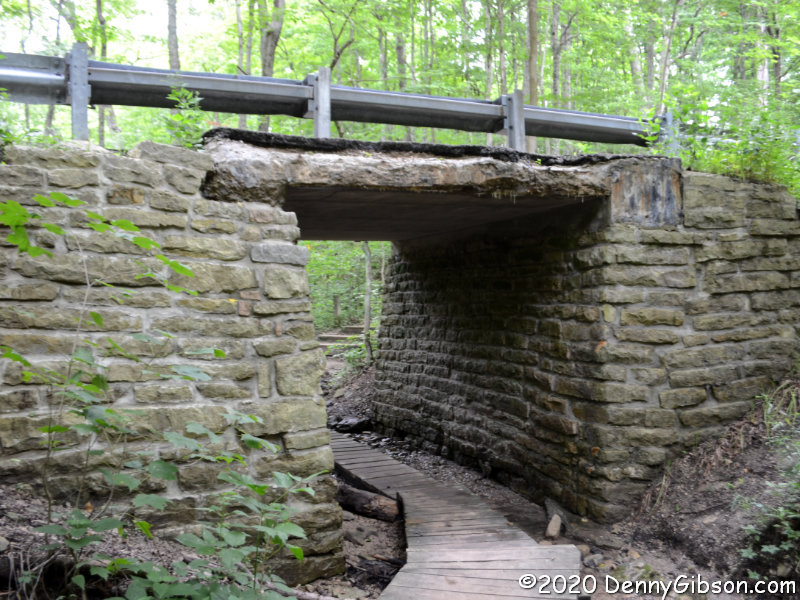
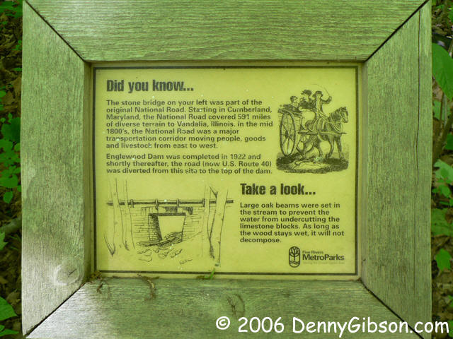
 The road through the park is one-way which requires the former National Road, now called Patty Road, to be driven from west to east. Since all my other driving in this post has been east to west, that’s the sequence in which I’ve arranged these photos. The little bridge doesn’t look particularly historic when driving over it but the underside is a different story. The second picture shows the bridge from the north side and there’s a view from the south here. A sign that once stood near the bridge has gone missing so I’ve included a photo of it from 2006. The third photo shows where the National Road once continued westward. I walked down it in 2006 but did not today. There really isn’t much to see as a water-filled borrow pit prevents reaching the river.

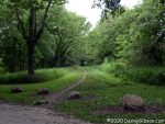
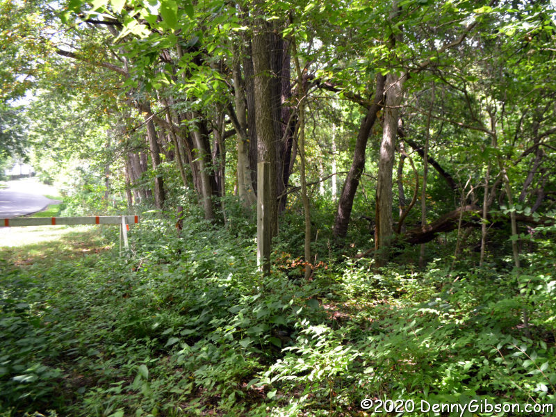
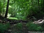 This is on the west side of the Stillwater River in the smaller portion of Engelwood Metropark. I’ve been in the park before but did not do much exploring. Today I walked an abandoned section of the National Road down to the river. I’ve heard, and have even told others, that there are pieces of bridge abutments along the river. That might be true, but I didn’t see any today. I also didn’t see an explanatory sign mentioned in a Facebook post by William Flood, author of the upcoming Driving the National Road & Route 40 in Ohio: Then and Now. Further online discussion indicated that it might have gone missing from this wooden post. Not finding the sign certainly wasn’t an issue since looking for it is what led me to the riverside and that’s a good thing.
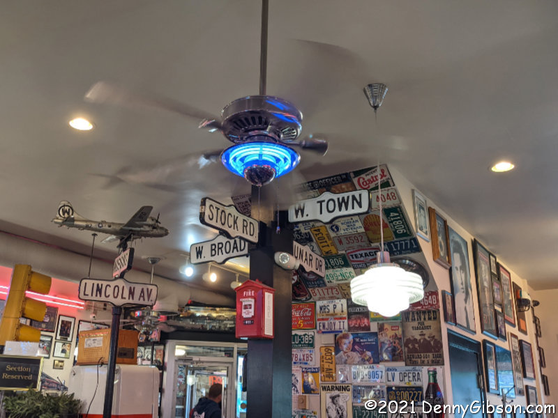
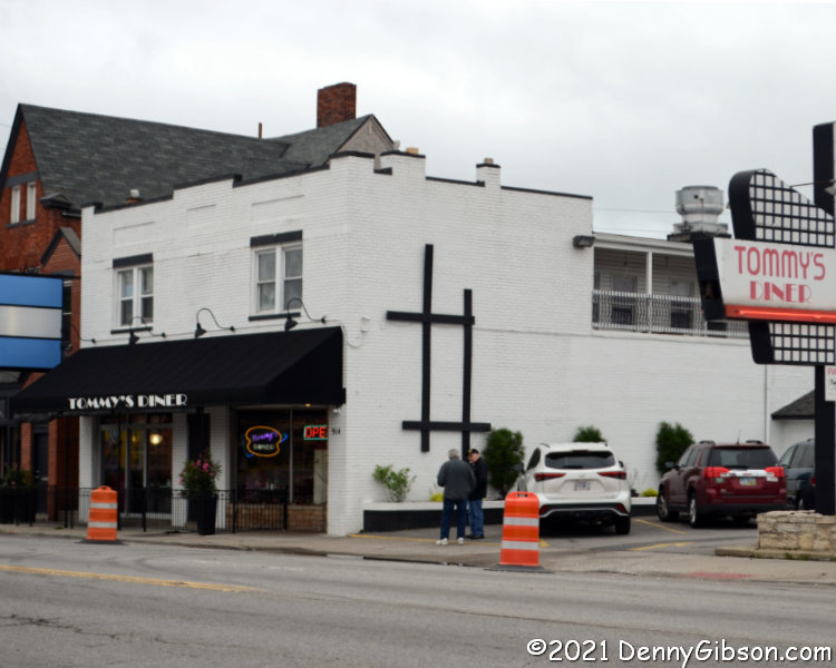
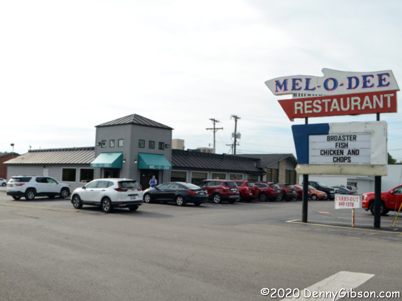
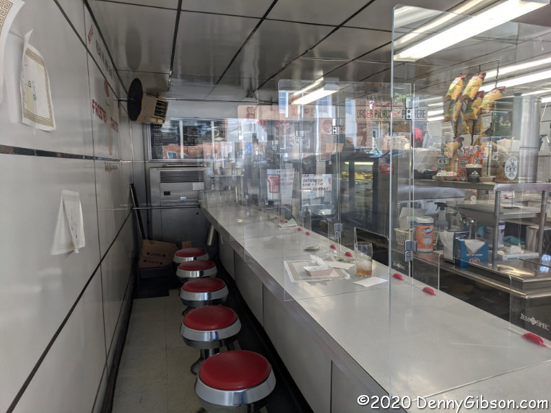
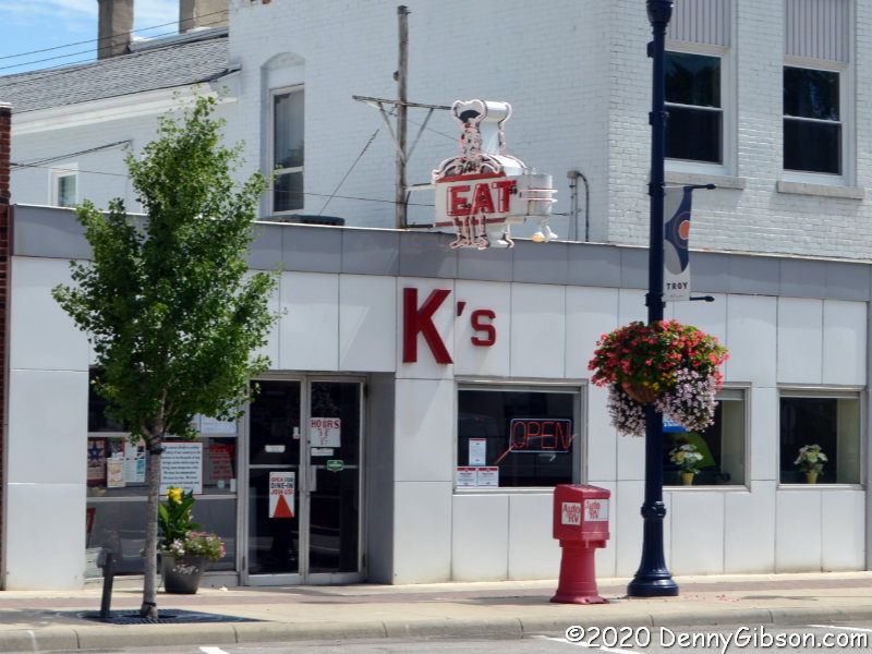
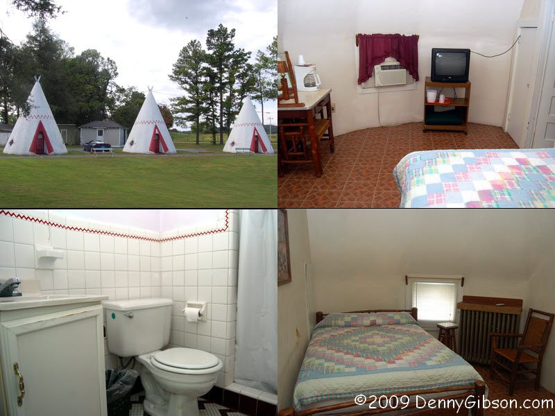
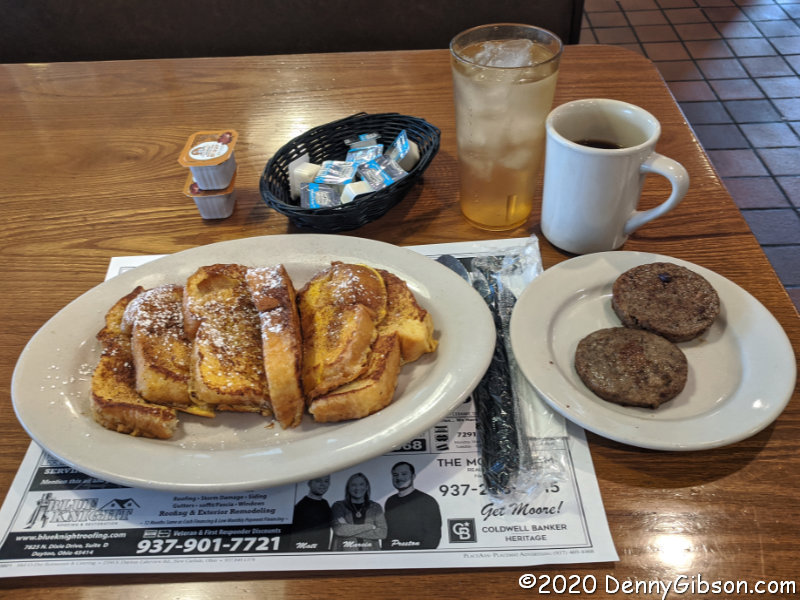
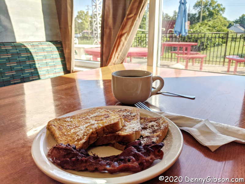
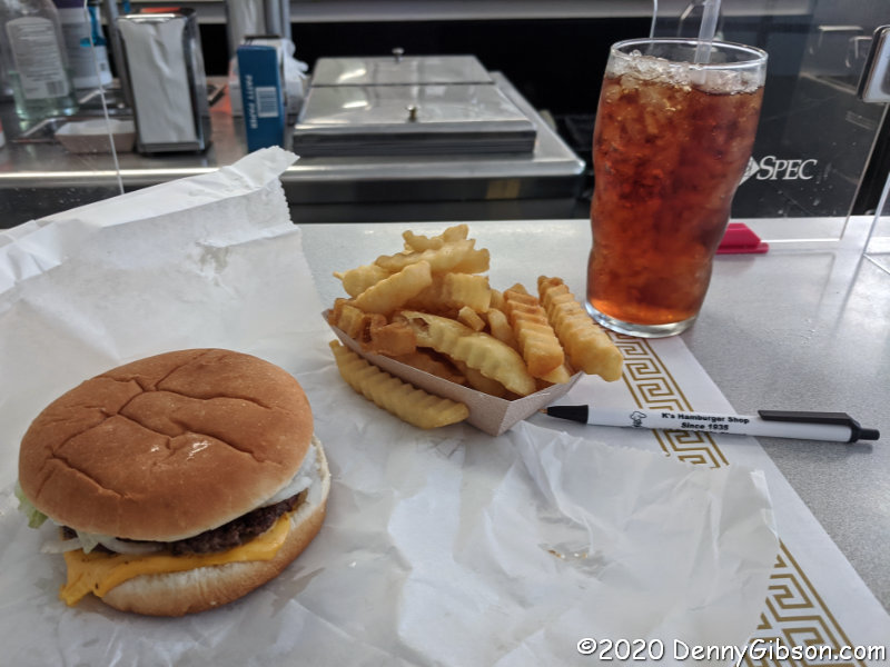
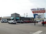 Yes, I had breakfast. The Mell-O-Dee Restaurant isn’t exactly on the National Road, but about two miles to the south where it’s been since 1965. COVID-19 precautions include a closed counter, plexiglass dividers between booths, and masked staff. They bake their own bread and pies and their French toast is made with that bread. It’s what I ordered and devoured with another COVID-19 precaution, disposable utensils.

 Just like all but one of my previous books, Tracing a T to Tampa is a travelogue. Unlike any of those books, it is not about following a specific road or reaching specific destinations. It is about following a single specific trip. That trip is one made by my great-grandparents in 1920 in a Model T Ford. Throughout the 1920 journey, my great-grandmother sent a series of letters to her daughter in which town names were often included in her reports of what they were seeing and doing. Those town names allowed me to roughly reproduce their route. There are multiple reasons why my reproduction is a rough one. One is that roads have changed in the intervening years and another is that I usually had to guess at the path they took between the towns my great-grandmother mentioned. Some of those guesses are almost certainly wrong but proving it, should you be so inclined, would not be easy. Parts of the 1920 trip were clearly on the Dixie Highway and National Old Trails Road although neither is identified by name in the letters.


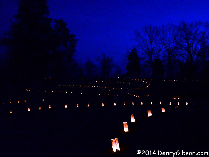
 I was understandably alarmed when I first saw the news at right. However, reading beyond the headline reassured me that it was only the program planned for Fort Ancient that has been canceled and that the Sun and Earth and other heavenly bodies are to continue as is. The program was held last year and I attended. It was on a Saturday and the following article was published the next day as the regular weekly post. I am reusing it as a regular weekly post 364 days later, a day ahead of the 2020 Winter Solstice which will occur at 5:02 AM December 21.


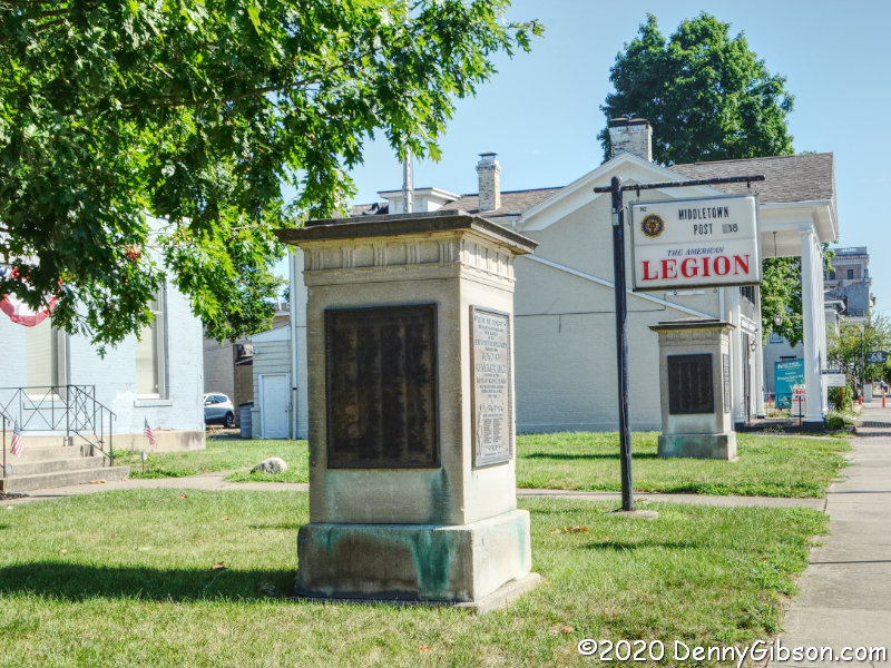
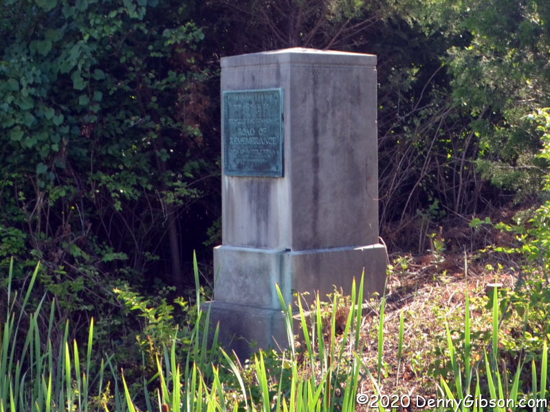
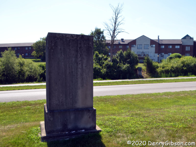
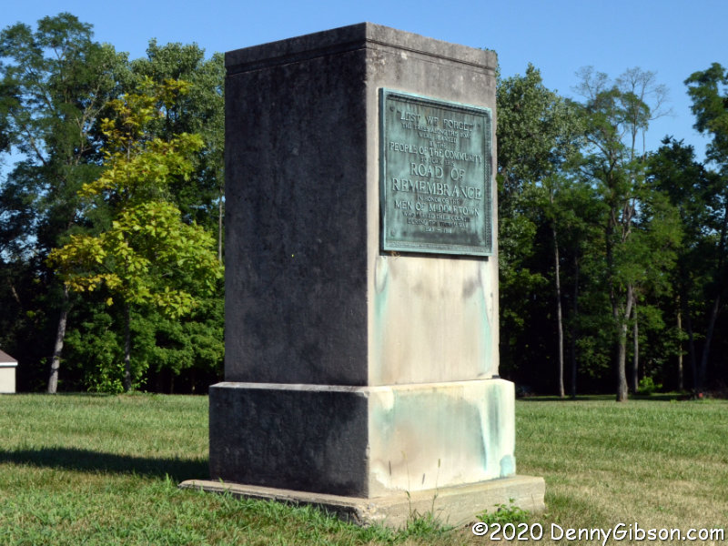
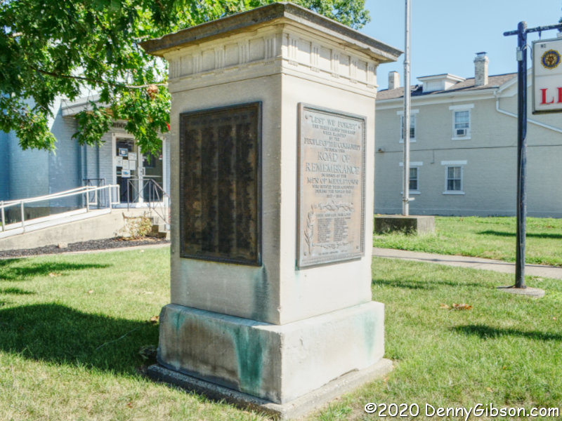
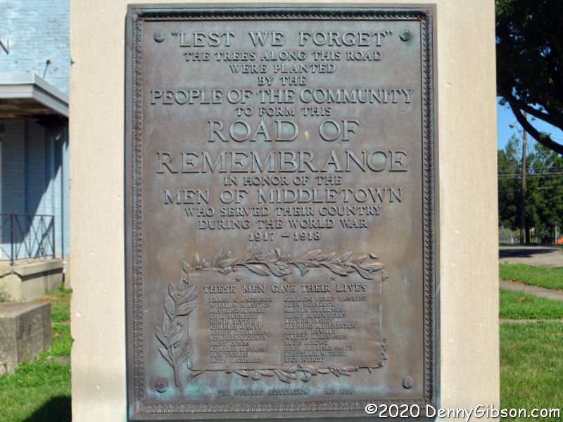
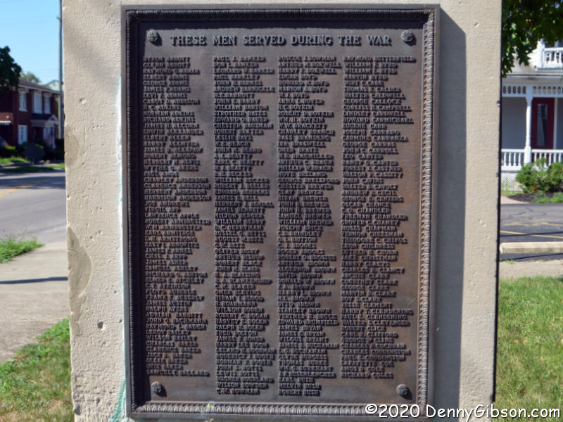
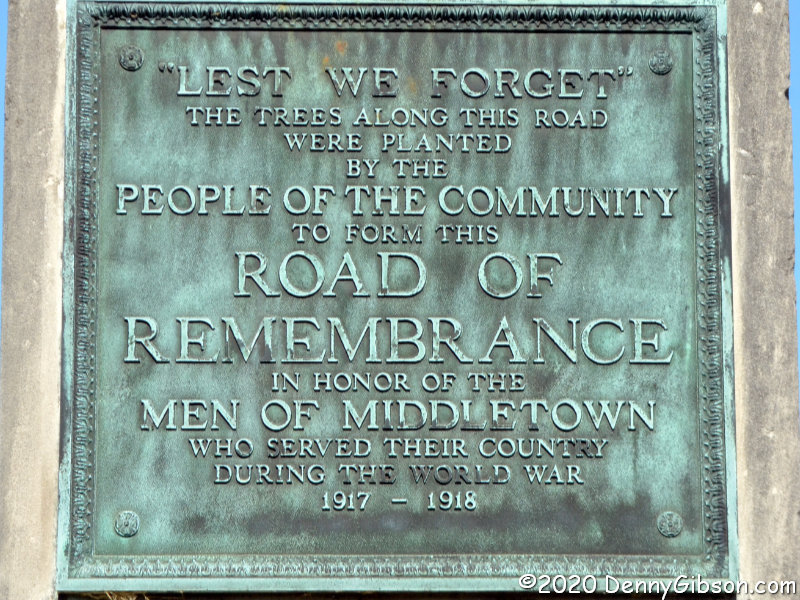
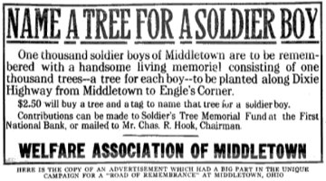 References to the Middletown Road of Remembrance often mention a thousand trees lining a mile of roadway. Both seem to have been considerably exceeded. The markers that now stand at the Legion, originally stood at 14th and Main. The southern markers originally stood about a mile and a half away at Oxford and Main. Plans to construct arches over the road where the markers stood were mentioned, but I’ve seen nothing to indicate that ever happened. Middletown’s Road of Remembrance was dedicated on Labor Day, September 6, 1920, and there are possibly legitimate claims that this was the nation’s first Road of Remembrance to be completed. The ad image is from