 We just had a total eclipse of the sun and by we, I mean me. The United States, has had total eclipses before but we (i.e., people within shouting distance of me) haven’t. I actually thought we had but that’s clearly not the case. I have a memory of standing on the school playground watching the image of an eclipse created by a pinhole in a piece of paper. Total eclipses have been visible in the U.S. in 1954, ’63, ’70, and ’79. Two of those are within my school years but both took place in the summer (June ’54, July ’63) when classes would not have been in session. But what really stomps on the idea that I’d previously seen a full sized solar eclipse in person is the fact that the 1954 event was visible only in Nebraska, Wisconsin, and neighboring states. The only states caught by the 1963 eclipse were Alaska and Maine. The best explanation I can come up with for my school playground memory is that some group met at the school specifically for the 1954 eclipse and saw about 79% obscuration. Maybe that’s it or maybe not. My recall sometimes reaches 79% obscuration, too.
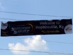
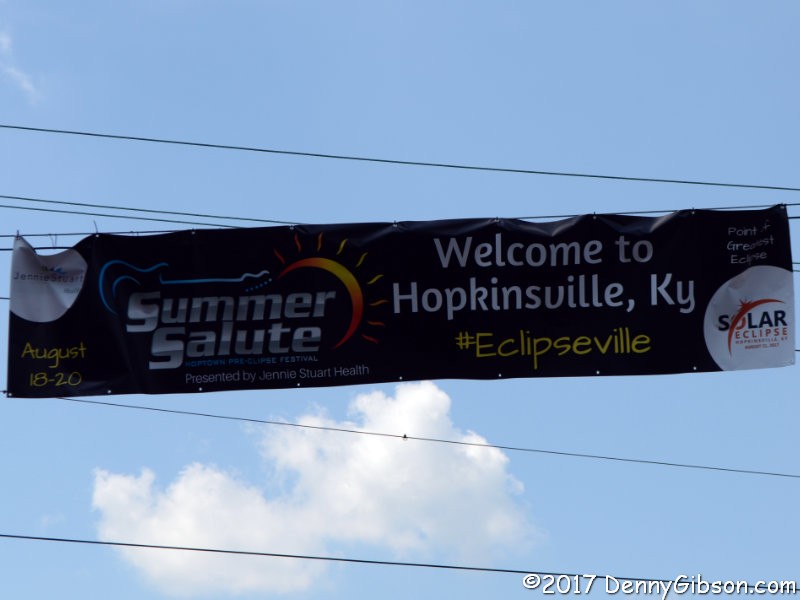
 Last Monday’s eclipse delivered 100% obscuration to fourteen of the United States and partial obscuration to all of them except Alaska and Hawaii. I could have stayed home and had 90.43% obscuration but I wanted to not see the whole thing. Not all complete obscuration is equal, however. NASA identified two “greatest” points. The self-explanatory point of Greatest Duration was in Illinois near the town of Makanda. The point of Greatest Eclipse, which NASA defines as “the instant when the axis of the Moon’s shadow cone passes closest to Earth’s center” was in Kentucky near the town of Hopkinsville where most of the 30,000 plus residents embraced the name “Eclipseville”. Hopkinsville is about 240 miles from my home.
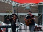
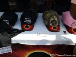
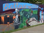
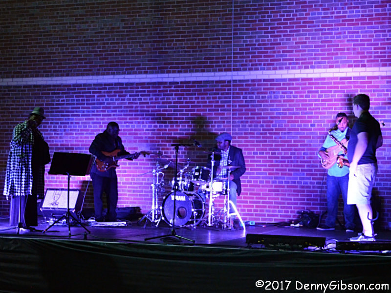
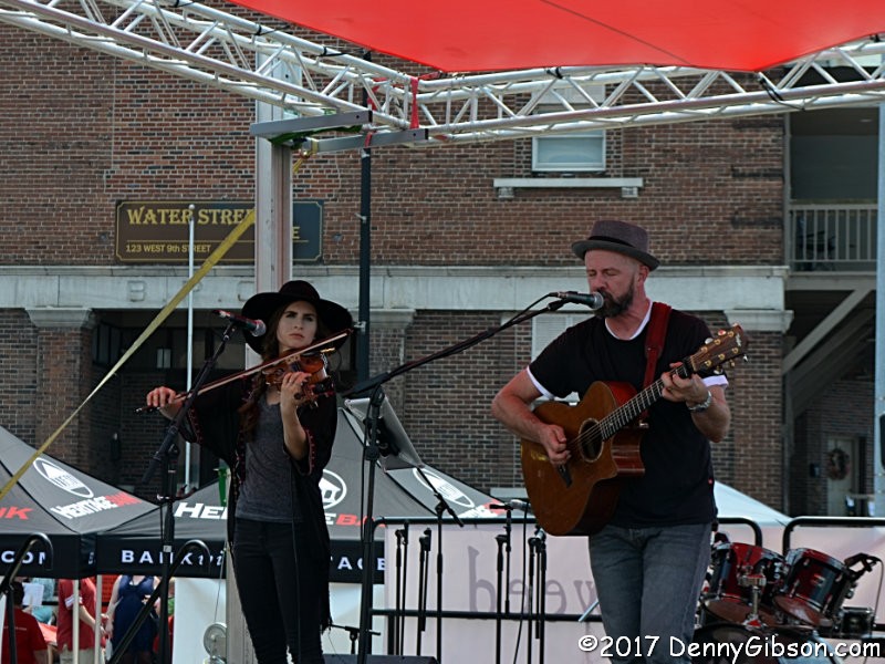
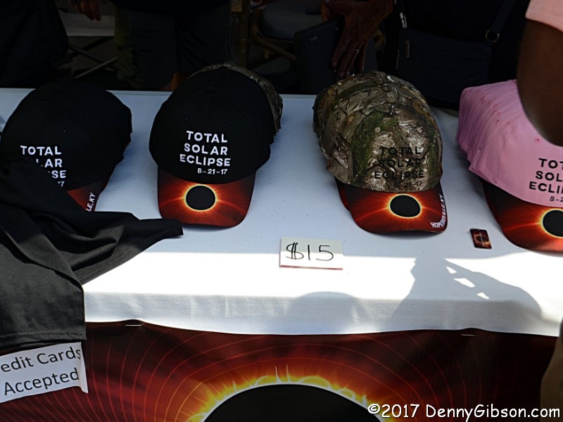
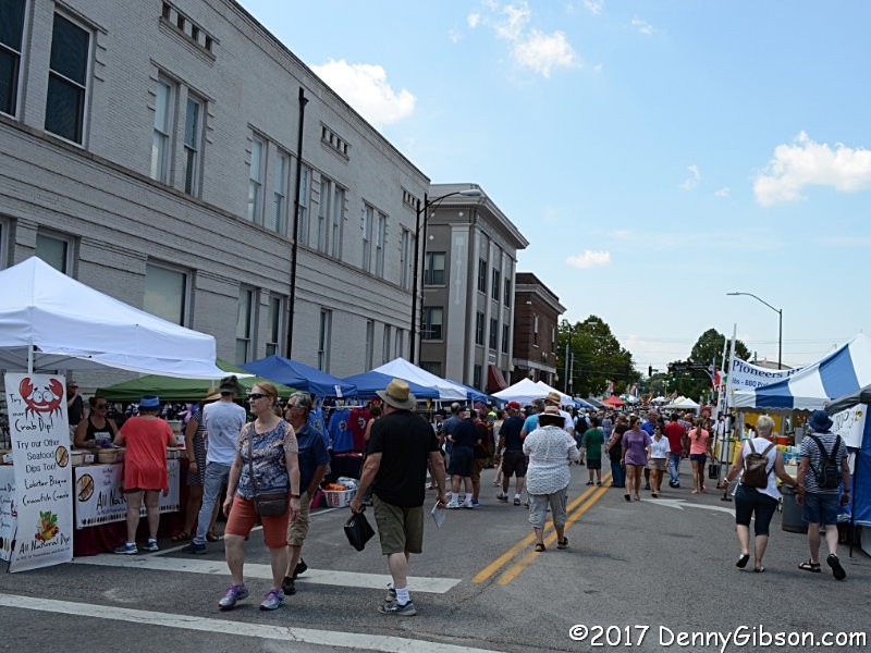
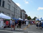 Area motel rooms and campsites sold out months in advance. I visited Hopkinsville about 24 hours before the big event but lodged more than 60 miles away in Owensboro. Food and souvenir vendors lined downtown streets and entertainers performed in areas set aside for the purpose. It wasn’t as jam-packed and hectic as I had feared and my understanding is that even on the next day, when it was jam-packed, it was not terribly hectic. People came to see something not say something.
My plan for eclipse day was to get somewhat close to Hopkinsville then seek out a parking spot on some back road. The Western Kentucky Parkway was busy but tolerable until it neared the Pennyrile Parkway where traffic tightened up in a way that promised congestion from that point on. I turned north (away from the congestion) on Pennyrile, took the next exit, then followed secondary and tertiary roads south to the path of the eclipse about twenty-five miles away.
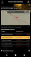
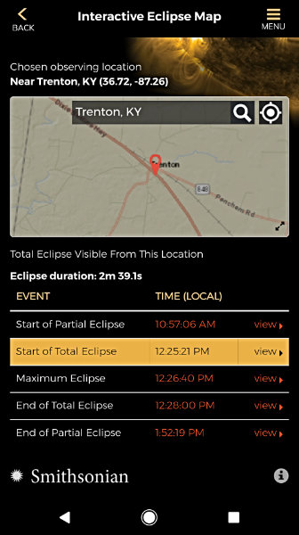
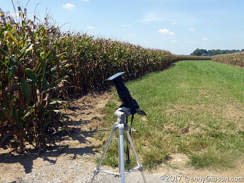
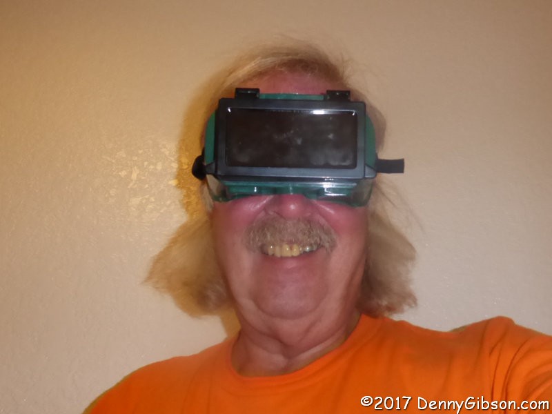
 It really was kind of ridiculous for me to even try photographing the eclipse. Without even considering the pros at NASA and other organizations, thousands of real photographers with much better equipment and infinitely better skills would be recording images that would capture the event for all of us to enjoy. I was here because I wanted to experience a total eclipse not because I needed a photograph. But… I got some anyway. I found a spot at the edge of a cornfield about fourteen miles from Hopkinsville. It was far enough from population centers to keep my phone from picking up a signal. That’s why the screen capture is for the town of Trenton some two miles distant. I set up my tripod and mounted my camera on top. I snapped on the hood with a welder’s lens duct taped to it. I put on my goggles. I took some pictures and I watched something marvelous unfold.


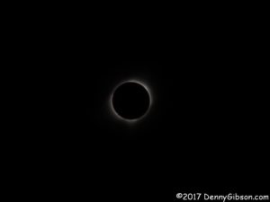
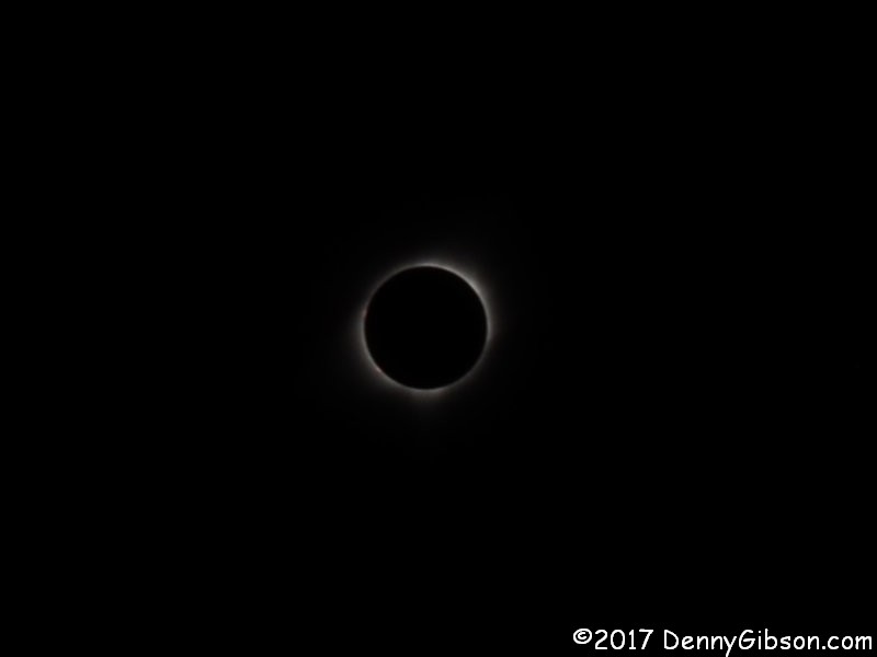
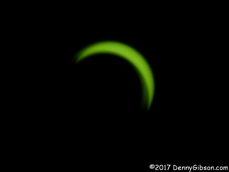
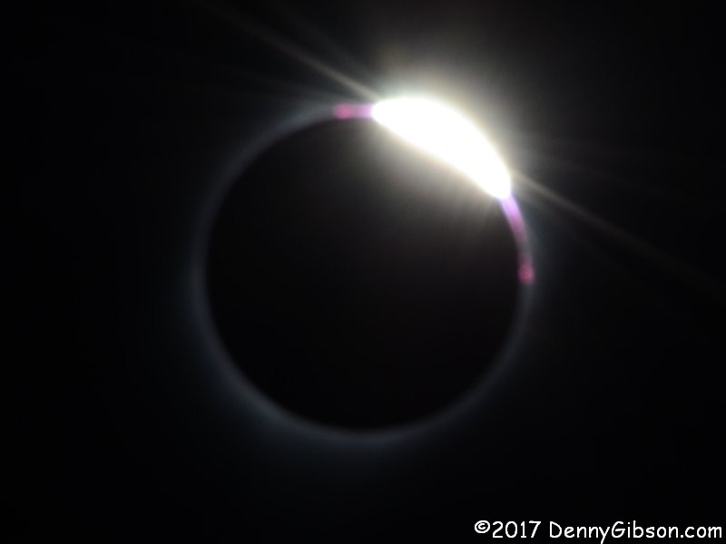
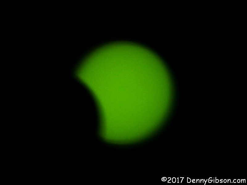
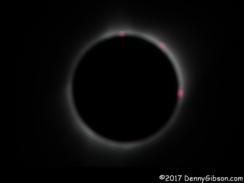
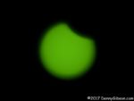 The first picture at right is the very first picture I took. Things had started happening as I parked the car and aimed the camera. A little bit of the sun was already gone by the time of the first shutter click. The photo of totality at the top of this post is sized to minimize fuzziness and to show some of the black sky. Although it does not show up in the photo, a star (or more likely a planet) was quite visible to the right of the sun and moon. A vision of totality with unfettered fuzziness is here. The second picture is my version of the diamond ring effect that appeared as totality ended. The third picture shows the sun starting to reassert itself. The Greatest Eclipse point was about 12 miles west of Hopkinsville or about 26 miles from where I stood. The duration of totality at that point was 160.1 seconds. The point of Greatest Duration, 90 miles beyond, beat that by 0.1 second. At my spot next to the corn it was 159.7 seconds. To paraphrase a slogan from an event that occurs in Kentucky on a more regular basis, it was “The most exciting two minutes in amateur sky gazing.”
Witnessing the sun’s disappearance, the mid-day darkness, and the drop in temperature was definitely exciting. It was also thought provoking. To some it was spiritual. More than anything, though, it was uniting. For a short period the eclipse was at the center of the actions of a huge number of people and the conversations of even more. And almost all of those conversations were quite friendly. Sure, in Kentucky I heard some grumbling about traffic and comments about “crazy Texans who drove all that way for two minutes” but there was no real anger in the grumbling and chuckles accompanied the Texan comments.
It was way short of a “The Day the Earth Stood Still” moment but there was just a tiny glimmer of that “tiny ball in a big universe” understanding. In the diner where I overheard the comment about “crazy Texans”, I also observed one fellow explaining the positions of earth, moon, and sun during the eclipse to what seemed to be a regular breakfast meeting of a local “Liars Club”. He wasn’t breaking new ground or fighting against doubt. All the old timers at that table understood the basics but were just a little foggy on the details.
A few weeks ago I visited some mounds in eastern Ohio that are believed to have been constructed at least partially to study the movements of the moon. On the day of the eclipse I held a device in my hand that, bad reception in the cornfield aside, was capable of telling me the precise effect that two heavenly bodies were about to have on the exact spot I was standing on. I thought of Arthur C. Clarke’s well known statement about advanced technology being indistinguishable from magic. It somehow applied but far from perfectly so. I’ve since learned of other lines from other writers that proceeded Clarke’s and may have influenced it. One that seems quite appropriate to me comes from Leigh Brackett’s 1942 The Sorcerer of Rhiannon: “Witchcraft to the ignorant, … simple science to the learned.” Even though, as the latest and loudest news stories often show, plenty of ignorance remains, we really aren’t quite as ignorant as we used to be. I’m guessing that those mounds helped.
 There will be another total solar eclipse within range of Cincinnati in 2024 and again in 2045. Those guys in the diner knew about both. There’s a decent chance I’ll be around in 2024 and a very slim but non-zero chance I’ll still be here in 2045. If I am, I hope that someone drags my ancient bones outside and makes sure my chair is facing the right direction.

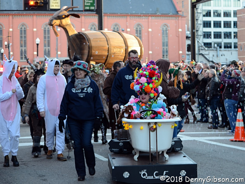 Anytime you spot a Trojan goat being led down the street by a self propelled bathtub, the odds are considerable that you’re at Cincinnati’s annual Bockfest parade. It happened Friday for the twenty-sixth time. My attendance has been frequent but imperfect. While I have no statistics to prove that Friday’s parade was the biggest yet, it felt like it might be. Sunshine and relatively warm temperatures (high 40s) helped.
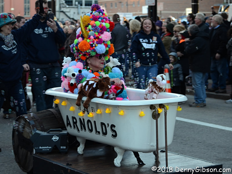
 The bathtub belongs to Arnold’s Bar and Grill. It’s Cincinnati’s oldest tavern and the parade’s starting point. The traveling tub is a reference to the legend that the bar’s bathtub was used to make gin during prohibition. As I recall, the goat was created by the defunct downtown Barrel House Brewery but is now in the care of the Moerlien Brewing Company.
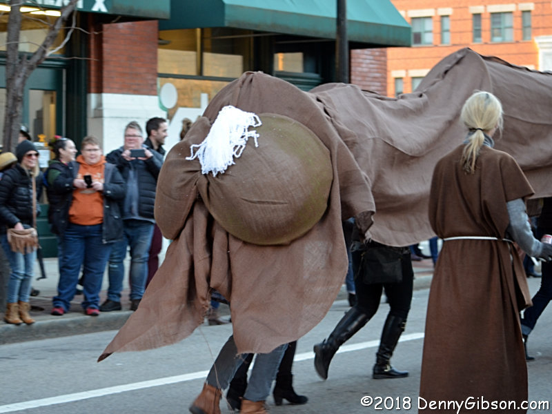
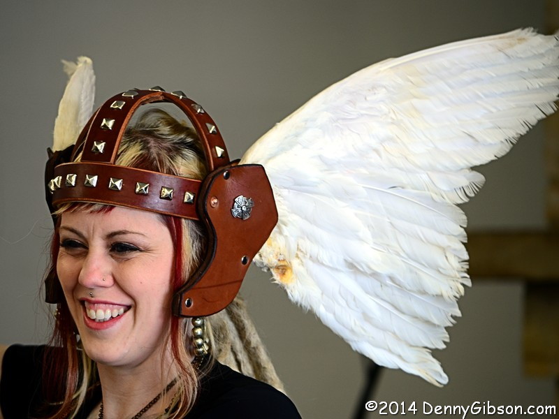
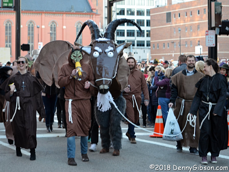 Goats are traditionally associated with bock beer and they appear at Bockfest in many forms. However, no matter how many legs a particular goat might have, it still has only two ends.
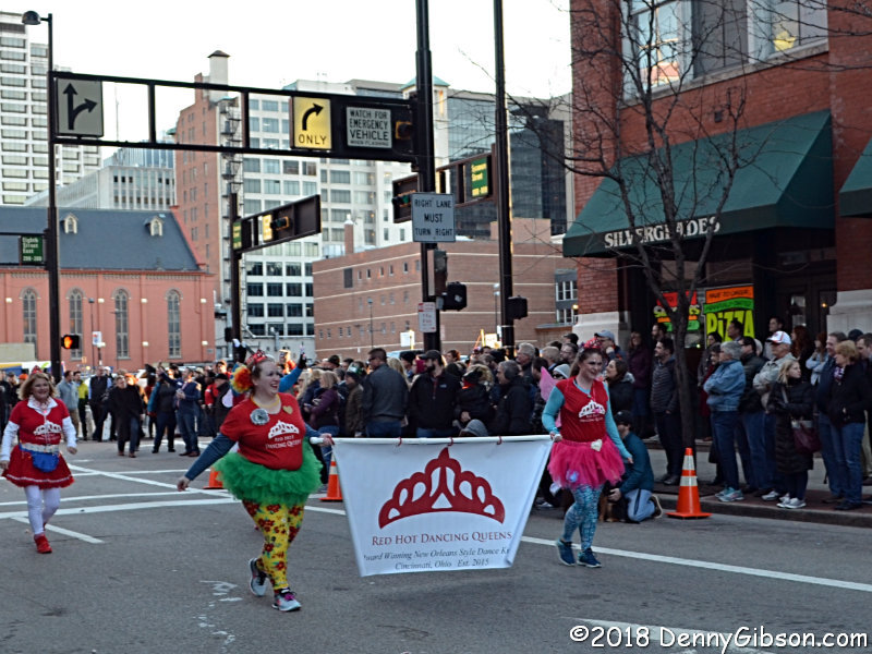
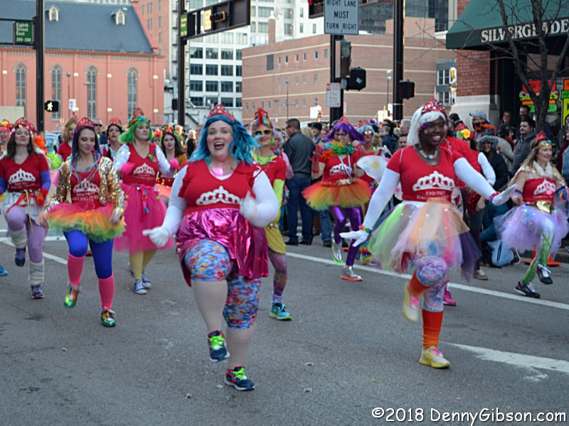
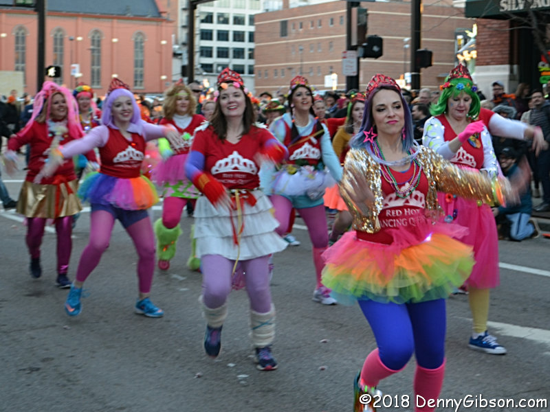 If you’ve read any of my parade related posts over the last few years, you know that the Red Hot Dancing Queens became instant favorites of mine from the first time I saw them. Nobody has more fun than these gals.
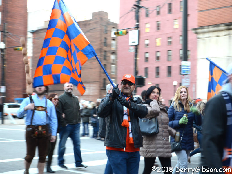
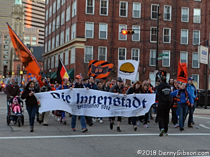 Two friends attended this year’s parade with me. It was Dave’s first time and he accompanied me along the route dodging goats, dancers, and Segways. As it turned out, he also dodged my camera. Clyde, who attended his first Bockfest parade with me two years ago, has since joined Die Innenstadt, a support group for FC Cincinnati, the local USL team. Although it initially took a little urging to get him to participate, once committed, he not only marched with the group, but did an outstanding job waving one of their big flags.
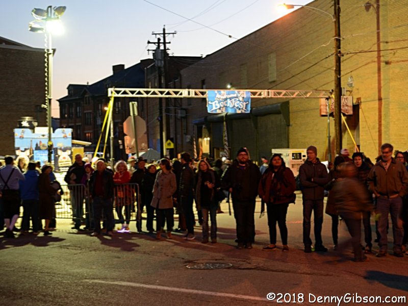 Dave and I made it to the parade route end and reunited with Clyde for one Schoenling Bock inside the super-crowded Bockfest Hall. I admit that I sometimes lead my friends to the beer taps, but I don’t make them drink. That’s all their doing.


